
| Distance / Altitude | Location | Report Date / Time | Live Weather | Wind | Gusts | Temp. | Visibility | Cloud |
|---|---|---|---|---|---|---|---|---|
| 7 km SSE / 3 m | BUOY-KGCA2 (Marine) | 2025-12-26 00:00 local (2025/12/26 09:00 GMT) | moderate winds from the ESE (22 km/h at 120) | 6°C | - | |||
| 7 km E / 47 m | King Cove Airport (Alabama) (Alaska) | 2025-12-25 23:15 local (2025/12/26 08:15 GMT) | - | wind obs. (17 kph from 80 degs) was rejected (- km/h at -) | 5°C | 0.0 | ||
| 23 km W / 161 m | Cold Bay Airport (Alaska) | 2025-12-25 23:05 local (2025/12/26 08:05 GMT) | Mist - | strong winds from the SSE (41 km/h at 150) | 6°C | 8 | scattered overcast | |
| 73 km SW / 6 m | False Pass Airport (Alaska) | 2025-12-25 22:56 local (2025/12/26 07:56 GMT) | Light rain | moderate winds from the SSW (24 km/h at 200) | 6°C | 5 | overcast | |
| 125 km NE / 4 m | Nelson Lagoon Airport (Alaska) | 2025-12-25 22:56 local (2025/12/26 07:56 GMT) | - | fresh winds from the ESE (35 km/h at 120) | 3°C | 0.0 | ||
| 125 km NE / 3 m | BUOY-NLXA2 (Marine) | 2025-12-26 00:32 local (2025/12/26 09:32 GMT) | fresh winds from the SSE (35 km/h at 160) | 4°C | - | |||
| 201 km NE / 3 m | BUOY-CPSA2 (Marine) | 2025-12-26 00:32 local (2025/12/26 09:32 GMT) | light winds from the SSE (18 km/h at 150) | 5°C | - | |||
| 245 km SW / 3 m | BUOY-AKXA2 (Marine) | 2025-12-26 00:32 local (2025/12/26 09:32 GMT) | light winds from the NW (17 km/h at 310) | 6°C | - | |||
| 286 km ENE / 212 m | Chignik Bay Airport (Alaska) | 2025-12-25 23:43 local (2025/12/26 08:43 GMT) | Light rain | wind obs. (19 kph from 80 degs) was rejected (- km/h at -) | 5°C | 16 | overcast | |
| 299 km SW / - m | SHIP480 (ocean) | 2025-12-26 00:00 local (2025/12/26 09:00 GMT) | - | light winds from the SSE (9 km/h at 160) | 9°C | - | no observation |
| Contours: | Roads & Rivers: | Select a
tide station / surf break / city |
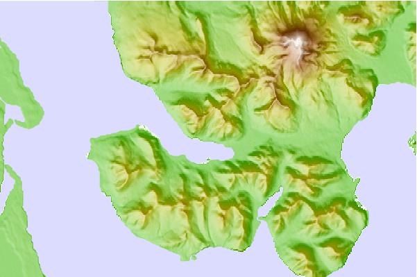
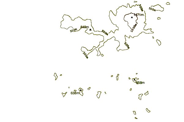
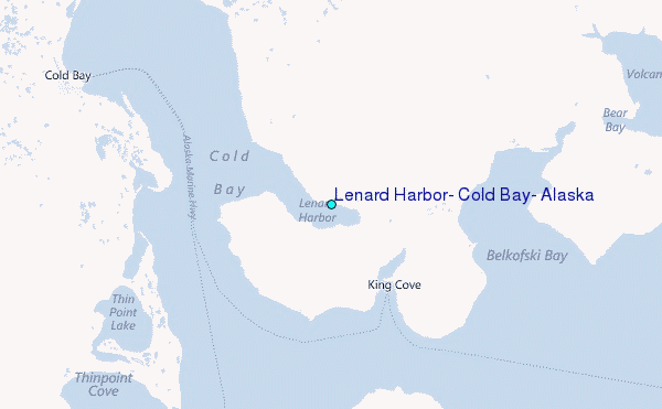
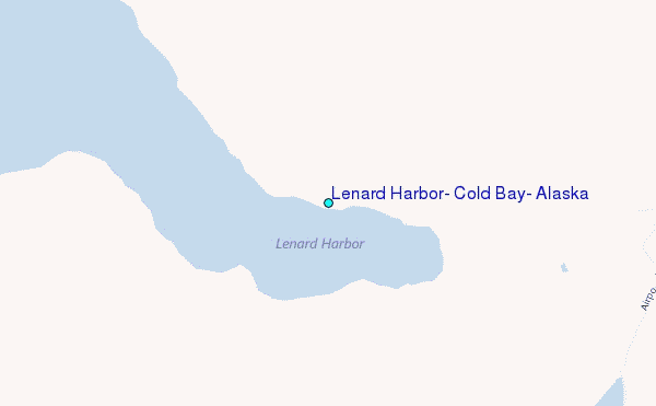
Use this relief map to navigate to tide stations, surf breaks and cities that are in the area of Lenard Harbor, Cold Bay, Alaska.
Other Nearby Locations' tide tables and tide charts to Lenard Harbor, Cold Bay, Alaska:
click location name for more details
 Surf breaks close to Lenard Harbor, Cold Bay, Alaska:
|
||
|---|---|---|
| Closest surf break | Fossil Beach Kodiak | 416 mi |
| Second closest surf break | Monashka Bay | 423 mi |
| Third closest surf break | Termination Point | 424 mi |
| Fourth closest surf break | Mill Bay | 426 mi |
| Fifth closest surf break | Bird Point (Tidal Bore) | 558 mi |


 Nearest
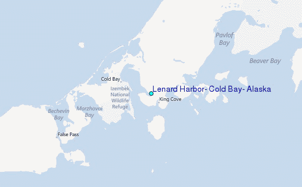