
| Distance / Altitude | Location | Report Date / Time | Live Weather | Wind | Gusts | Temp. | Visibility | Cloud |
|---|---|---|---|---|---|---|---|---|
| 23 km W / 87 m | LhokseumaweMalikussaleh (Indonesia) | 2024-04-27 07:00 local (2024/04/27 00:00 GMT) | Light to moderate thunderstorm | calm (4 km/h at 140) | 26°C | 26 km | overcast | |
| 129 km NW / 15 m | SHIP2767 (Marine) | 2024-04-27 07:00 local (2024/04/27 00:00 GMT) | light winds from the NNE (9.360000000000001 km/h at 30) | 30°C | 17.7 km | |||
| 196 km W / 21 m | BandaAcehBlangBintang (Indonesia) | 2024-04-27 07:00 local (2024/04/27 00:00 GMT) | Thunderstorm but no precipitation falling at station | calm (4 km/h at 140) | 26°C | 30 km | scattered | |
| 217 km W / 126 m | SabangCutBau (Indonesia) | 2024-04-27 07:00 local (2024/04/27 00:00 GMT) | Thunderstorm but no precipitation falling at station | calm (0 km/h at 0) | 27°C | 26 km | mostly cloudy | |
| 232 km SE / 3 m | MedanBelawan (Indonesia) | 2024-04-27 07:00 local (2024/04/27 00:00 GMT) | - | light winds from the SW (13 km/h at 230) | 28°C | 26 km | mostly cloudy |
| Contours: | Roads & Rivers: | Select a
tide station / surf break / city |
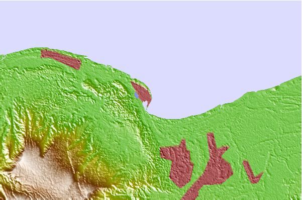
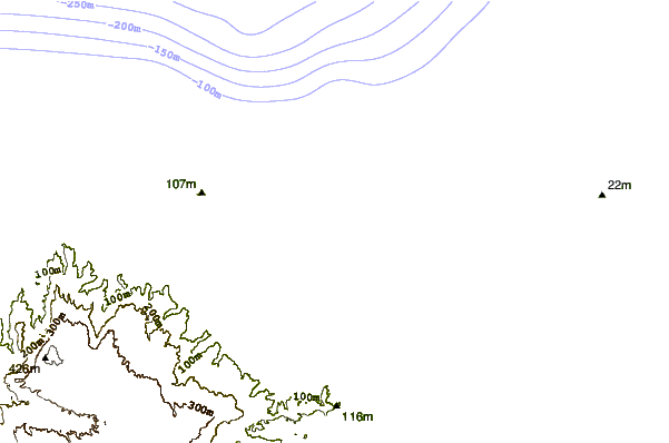
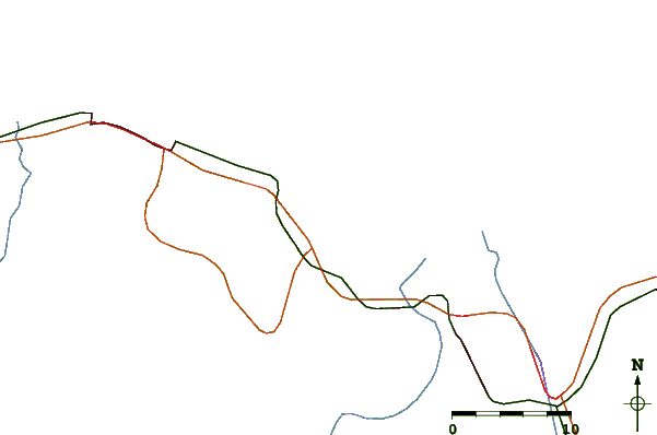
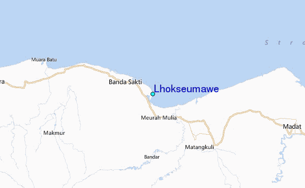
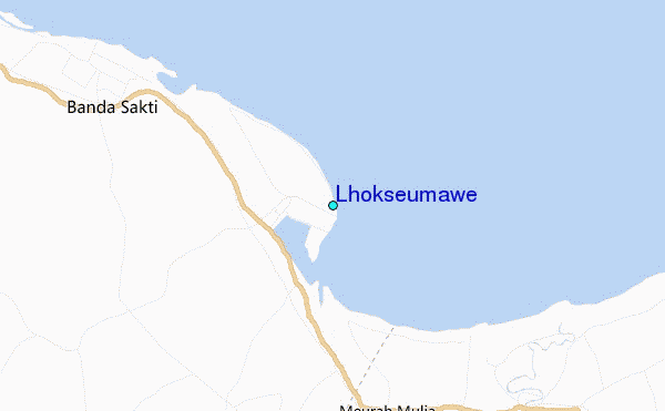
Use this relief map to navigate to tide stations, surf breaks and cities that are in the area of Lhokseumawe.
Other Nearby Locations' tide tables and tide charts to Lhokseumawe:
click location name for more details
 Surf breaks close to Lhokseumawe:
|
||
|---|---|---|
| Closest surf break | Cenang Beach (The Cliff) | 193 mi |
| Second closest surf break | Tengah Beach (Bank Negara) | 193 mi |
| Third closest surf break | Nai Harn Beach | 196 mi |
| Fourth closest surf break | Kata Noi | 198 mi |
| Fifth closest surf break | Kata Beach | 199 mi |

 Nearest
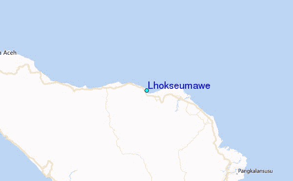