
| Distance / Altitude | Location | Report Date / Time | Live Weather | Wind | Gusts | Temp. | Visibility | Cloud |
|---|---|---|---|---|---|---|---|---|
| 7 km WNW / 3 m | BUOY-LIXA2 (Marine) | 2026-06-08 20:02 local (2026/06/09 04:02 GMT) | calm (4 km/h at 30) | 16°C | - | |||
| 10 km S / 3 m | BUOY-PRTA2 (Marine) | 2026-06-08 19:10 local (2026/06/09 03:10 GMT) | calm (4 km/h at 360) | 15°C | - | |||
| 19 km SE / 15 m | SHIP4425 (Marine) | 2026-06-08 19:00 local (2026/06/09 03:00 GMT) | light winds from the ENE (7.5600000000000005 km/h at 60) | — | - km | |||
| 21 km SE / 3 m | BUOY-PTLA2 (Marine) | 2026-06-08 20:02 local (2026/06/09 04:02 GMT) | light winds from the WNW (8 km/h at 300) | 15°C | - | |||
| 22 km SE / 28 m | Auke Bay wx (United States) | 2026-06-08 19:21 local (2026/06/09 03:21 GMT) | dry | calm (0 km/h at 0) | 14°C | - | - - 0 | |
| 19 km SE / 3 m | SHIP3606 (Marine) | 2026-06-08 18:00 local (2026/06/09 02:00 GMT) | light winds from the W (8 km/h at 270) | 18°C | - | |||
| 19 km SE / 15 m | SHIP7308 (Marine) | 2026-06-08 19:00 local (2026/06/09 03:00 GMT) | calm (5.4 km/h at 180) | — | - km | |||
| 19 km SE / 15 m | SHIP7905 (Marine) | 2026-06-08 18:00 local (2026/06/09 02:00 GMT) | light winds from the W (7.5600000000000005 km/h at 270) | — | - km | |||
| 19 km SE / 3 m | SHIP5366 (Marine) | 2026-06-08 18:00 local (2026/06/09 02:00 GMT) | calm (5 km/h at 200) | 17°C | - | |||
| 19 km SE / 15 m | SHIP7695 (Marine) | 2026-06-08 18:00 local (2026/06/09 02:00 GMT) | calm (5.4 km/h at 200) | — | - km |
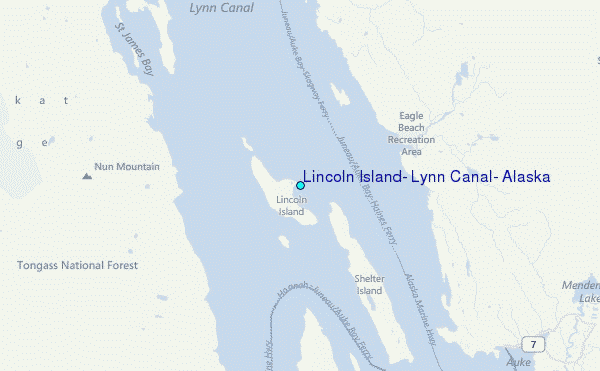
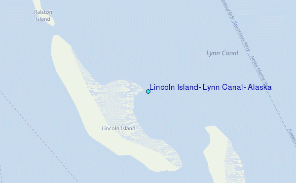
Choose Lincoln Island, Lynn Canal, Alaska Location Map Zoom:
| Contours: | Roads & Rivers: | Select a
tide station / surf break / city |
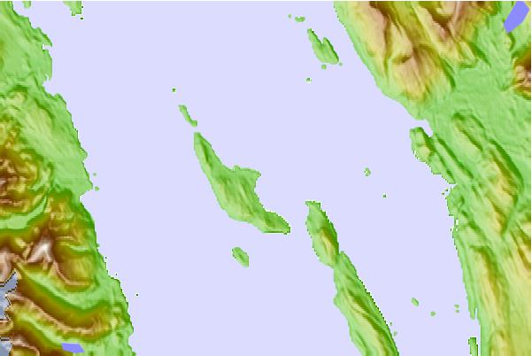
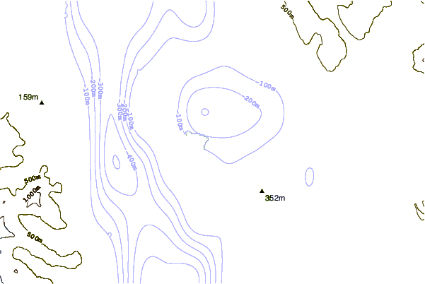
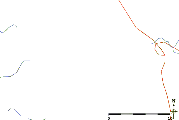
Use this relief map to navigate to tide stations, surf breaks and cities that are in the area of Lincoln Island, Lynn Canal, Alaska.
Other Nearby Locations' tide tables and tide charts to Lincoln Island, Lynn Canal, Alaska:
click location name for more details
 Surf breaks close to Lincoln Island, Lynn Canal, Alaska:
|
||
|---|---|---|
| Closest surf break | Cannon Beach | 185 mi |
| Second closest surf break | Graveyards | 187 mi |
| Third closest surf break | Ocean Cape | 189 mi |
| Fourth closest surf break | Lepus Beach (Haida-Gwaii) | 308 mi |
| Fifth closest surf break | Tow Hill Beach | 329 mi |


 Nearest
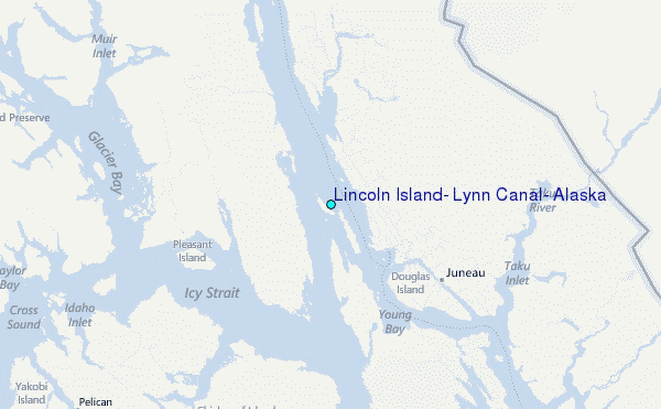