
| Distance / Altitude | Location | Report Date / Time | Live Weather | Wind | Gusts | Temp. | Visibility | Cloud |
|---|---|---|---|---|---|---|---|---|
| 101 km SW / 155 m | Tuktoyaktuk Airport (N.w. Territories) | 2024-04-26 21:00 local (2024/04/27 03:00 GMT) | Dry and partly cloudy | light winds from the ENE (13 km/h at 70) | -13°C | 11 | broken | |
| 101 km SW / 6 m | Tuktoyaktuk-Nwt (Canada) | 2024-04-26 21:00 local (2024/04/27 03:00 GMT) | - | light winds from the ENE (15 km/h at 60) | -13°C | - | no observation | |
| 159 km SSW / 93 m | Trail Valley (Canada) | 2024-04-26 21:00 local (2024/04/27 03:00 GMT) | - | moderate winds from the ENE (20 km/h at 60) | -14°C | - | no observation | |
| 159 km SSW / 197 m | Trail Valley Airport (N.w. Territories) | 2024-04-26 21:00 local (2024/04/27 03:00 GMT) | - | moderate winds from the ENE (20 km/h at 60) | -14°C | 0.0 | ||
| 161 km SW / 120 m | Storm Hills Airport (Canada) | 2024-04-26 21:00 local (2024/04/27 03:00 GMT) | - | fresh winds from the E (30 km/h at 80) | -16°C | - | - no observation - |
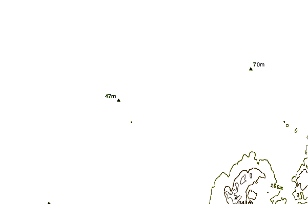
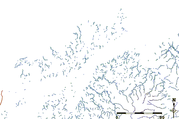
| Contours: | Roads & Rivers: | Select a
tide station / surf break / city |
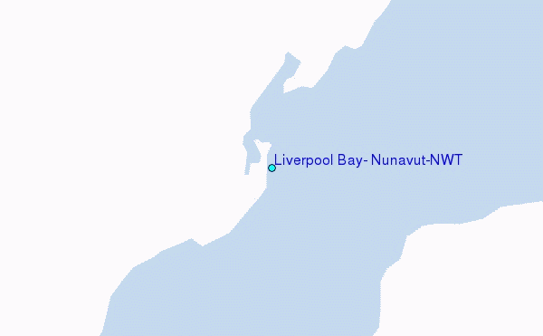
Use this relief map to navigate to tide stations, surf breaks and cities that are in the area of Liverpool Bay, Nunavut/NWT.
Other Nearby Locations' tide tables and tide charts to Liverpool Bay, Nunavut/NWT:
click location name for more details
 Surf breaks close to Liverpool Bay, Nunavut/NWT:
|
||
|---|---|---|
| Closest surf break | Graveyards | 753 mi |
| Second closest surf break | Ocean Cape | 753 mi |
| Third closest surf break | Cannon Beach | 755 mi |
| Fourth closest surf break | Bird Point (Tidal Bore) | 859 mi |
| Fifth closest surf break | Termination Point | 1045 mi |

 Nearest
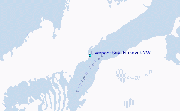