
| Distance / Altitude | Location | Report Date / Time | Live Weather | Wind | Gusts | Temp. | Visibility | Cloud |
|---|---|---|---|---|---|---|---|---|
| 138 km ENE / 164 m | Kuujjuarapik Airport (Quebec) | 2024-04-26 02:00 local (2024/04/26 06:00 GMT) | Clear | moderate winds from the ESE (26 km/h at 120) | -6°C | 14 | ||
| 184 km SE / 217 m | La Grande Rivier Airport (Quebec) | 2024-04-26 02:00 local (2024/04/26 06:00 GMT) | Dry and partly cloudy | light winds from the ESE (17 km/h at 110) | -5°C | 24 | broken | |
| 197 km N / 237 m | Sanikiluaq Airport (N.w. Territories) | 2024-04-26 01:00 local (2024/04/26 05:00 GMT) | - | light winds from the E (19 km/h at 100) | — | 24 | ||
| 271 km SSW / 9 m | Attawapiskat Airport (Canada) | 2024-04-26 02:00 local (2024/04/26 06:00 GMT) | - | light winds from the S (7 km/h at 180) | 5°C | 14 | few | |
| 367 km WSW / 53 m | Peawanuck Airport (Canada) | 2024-04-26 02:00 local (2024/04/26 06:00 GMT) | Dry and partly cloudy | light winds from the SE (13 km/h at 140) | 0°C | 14 | few - - |

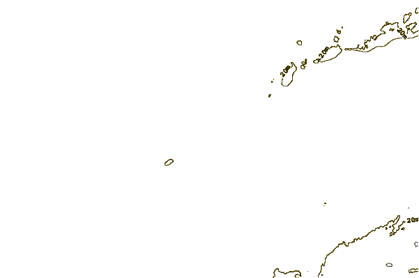
| Contours: | Roads & Rivers: | Select a
tide station / surf break / city |
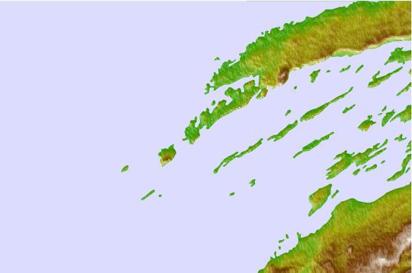
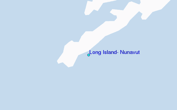
Use this relief map to navigate to tide stations, surf breaks and cities that are in the area of Long Island, Nunavut.
Other Nearby Locations' tide tables and tide charts to Long Island, Nunavut:
click location name for more details
 Surf breaks close to Long Island, Nunavut:
|
||
|---|---|---|
| Closest surf break | Marathon | 508 mi |
| Second closest surf break | Alona Bay | 568 mi |
| Third closest surf break | Keweenaw Peninsula | 623 mi |
| Fourth closest surf break | Au Sable Point | 625 mi |
| Fifth closest surf break | Grand Marias | 625 mi |

 Nearest
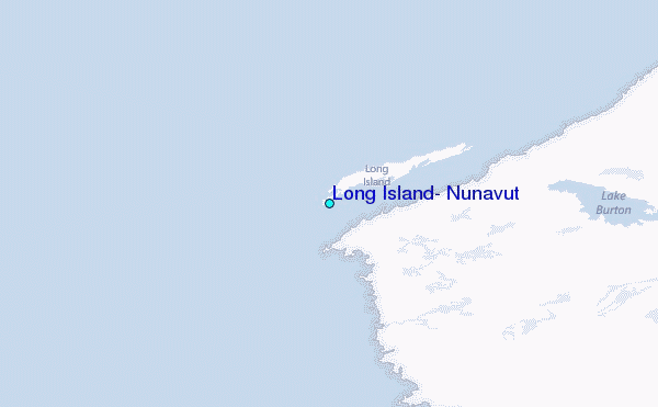