
| Distance / Altitude | Location | Report Date / Time | Live Weather | Wind | Gusts | Temp. | Visibility | Cloud |
|---|---|---|---|---|---|---|---|---|
| 12 km WSW / 0 m | lightning 7km WNW of Cape May Court House (United States) | 2026-06-10 20:17 local (2026/06/11 00:17 GMT) | Thunderstorm | (- km/h at -) | — | |||
| 14 km SW / 4 m | thunderstorm affecting Rio Grande (United States) | 2026-06-10 20:17 local (2026/06/11 00:17 GMT) | Thunderstorm | (- km/h at -) | — | |||
| 14 km SW / 3 m | lightning 4km NNE of Villas (United States) | 2026-06-10 20:17 local (2026/06/11 00:17 GMT) | Thunderstorm | (- km/h at -) | — | |||
| 17 km SSW / 396 m | Wildwood Airport (New Jersey) | 2026-06-10 20:56 local (2026/06/11 00:56 GMT) | Moderate rain | light winds from the SW (9 km/h at 220) | 22°C | 13 | few scattered overcast | |
| 19 km SSW / 5 m | thunderstorm affecting Erma (United States) | 2026-06-10 20:02 local (2026/06/11 00:02 GMT) | Thunderstorm | (- km/h at -) | — | |||
| 21 km ESE / 0 m | lightning 18km E of Avalon (United States) | 2026-06-10 21:00 local (2026/06/11 01:00 GMT) | Thunderstorm | (- km/h at -) | — | |||
| 22 km SSE / 0 m | lightning 16km E of North Wildwood (United States) | 2026-06-10 22:00 local (2026/06/11 02:00 GMT) | Thunderstorm | (- km/h at -) | — | |||
| 23 km SSW / 3 m | BUOY-CMAN4 (Marine) | 2026-06-10 22:00 local (2026/06/11 02:00 GMT) | light winds from the ESE (8 km/h at 110) | 22°C | - | |||
| 28 km NNE / 4 m | lightning 6km WNW of Somers Point (United States) | 2026-06-10 20:16 local (2026/06/11 00:16 GMT) | Thunderstorm | (- km/h at -) | — | |||
| 30 km ENE / 0 m | lightning 16km ESE of Ocean City (United States) | 2026-06-10 20:48 local (2026/06/11 00:48 GMT) | Thunderstorm | (- km/h at -) | — |
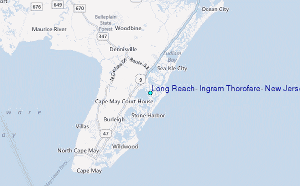
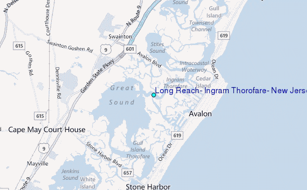
Choose Long Reach, Ingram Thorofare, New Jersey Location Map Zoom:
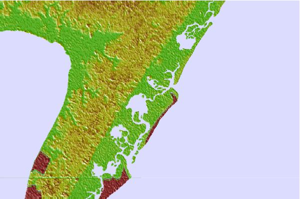
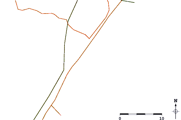
| Contours: | Roads & Rivers: | Select a
tide station / surf break / city |

Use this relief map to navigate to tide stations, surf breaks and cities that are in the area of Long Reach, Ingram Thorofare, New Jersey.
Other Nearby Locations' tide tables and tide charts to Long Reach, Ingram Thorofare, New Jersey:
click location name for more details
 Surf breaks close to Long Reach, Ingram Thorofare, New Jersey:
|
||
|---|---|---|
| Closest surf break | Avalon 30th Street | 2 mi |
| Second closest surf break | Avalon 15th Street | 2 mi |
| Third closest surf break | St Phillip's | 2 mi |
| Fourth closest surf break | 10th Street (Avalon) | 2 mi |
| Fifth closest surf break | 52nd Street | 3 mi |


 Nearest
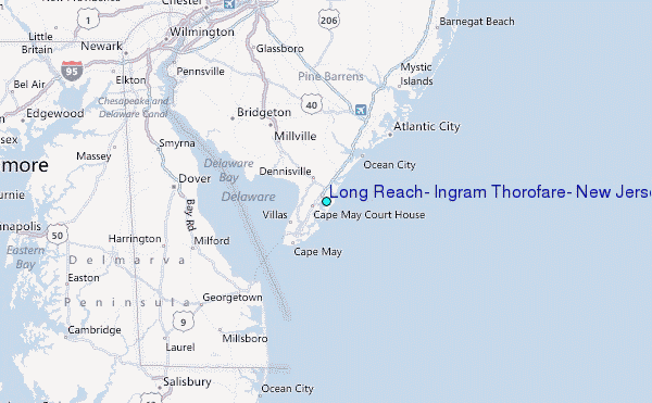