
| Distance / Altitude | Location | Report Date / Time | Live Weather | Wind | Gusts | Temp. | Visibility | Cloud |
|---|---|---|---|---|---|---|---|---|
| 14 km NE / 95 m | AireysInlet (Australia) | 2026-06-09 13:00 local (2026/06/09 03:00 GMT) | no report | calm (2 km/h at 110) | 10°C | - | - no observation - | |
| 39 km NW / 262 m | MountGellibrand (Australia) | 2026-06-09 13:00 local (2026/06/09 03:00 GMT) | No report | strong winds from the N (46 km/h at 360) | 15°C | - | - no observation - | |
| 53 km SSW / 83 m | CapeOtwayLighthouse (Australia) | 2026-06-09 13:00 local (2026/06/09 03:00 GMT) | no report | light winds from the NE (13 km/h at 40) | 9°C | - | - no observation - | |
| 54 km NE / 13 m | GeelongRacecourse (Australia) | 2026-06-09 13:00 local (2026/06/09 03:00 GMT) | no report | light winds from the NNE (15 km/h at 30) | 10°C | - | - no observation - | |
| 69 km NE / 481 m | Point Wilson (Australia) | 2026-06-09 13:00 local (2026/06/09 03:00 GMT) | - | light winds from the N (11 km/h at 360) | — | - | no observation | |
| 72 km N / 237 m | Sheoaks Aws (Australia) | 2026-06-09 13:00 local (2026/06/09 03:00 GMT) | no report | light winds from the N (9 km/h at 10) | 16°C | - | - no observation - | |
| 72 km NE / 11 m | Avalon Airport (Australia) | 2026-06-09 13:00 local (2026/06/09 03:00 GMT) | no report | fresh winds from the NE (30 km/h at 40) | 17°C | - | - no observation - | |
| 102 km NE / 478 m | Laverton Aerodrome (Australia) | 2026-06-09 13:00 local (2026/06/09 03:00 GMT) | no report | wind obs. (9 kph from 90 degs) was rejected (- km/h at -) | 12°C | - | - no observation - | |
| 103 km NE / 20 m | LavertonRaaf (Australia) | 2026-06-09 13:00 local (2026/06/09 03:00 GMT) | no report | light winds from the SSE (9 km/h at 150) | 10°C | - | - mostly cloudy - | |
| 105 km ENE / 240 m | Cerberus Automatic Weather Station (Australia) | 2026-06-09 13:00 local (2026/06/09 03:00 GMT) | - | - (- km/h at -) | — | - | - - - |
| Contours: | Roads & Rivers: | Select a
tide station / surf break / city |
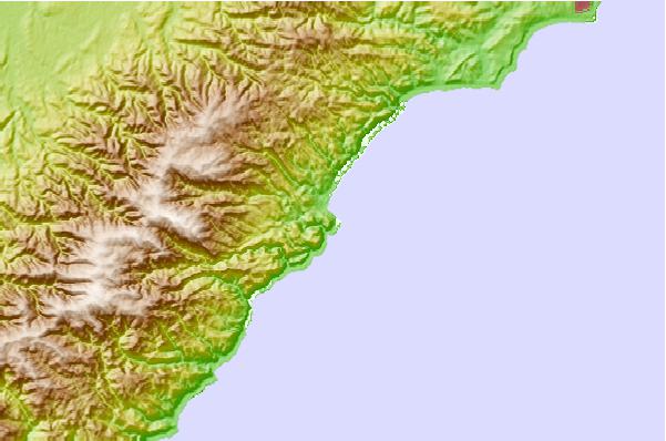
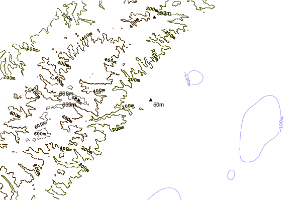
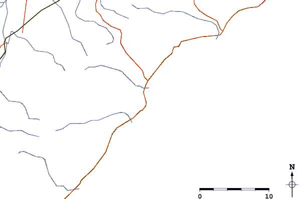
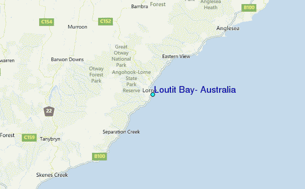
Use this relief map to navigate to tide stations, surf breaks and cities that are in the area of Loutit Bay, Australia.
Other Nearby Locations' tide tables and tide charts to Loutit Bay, Australia:
click location name for more details
 Surf breaks close to Loutit Bay, Australia:
|
||
|---|---|---|
| Closest surf break | Lorne Point | 0 mi |
| Second closest surf break | St George River | 1 mi |
| Third closest surf break | Cumberland River | 2 mi |
| Fourth closest surf break | Cathedral Rock | 2 mi |
| Fifth closest surf break | Fairhaven | 8 mi |


 Nearest
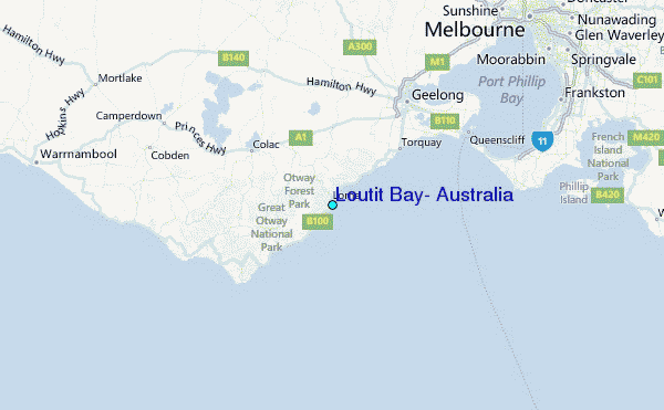