
| Distance / Altitude | Location | Report Date / Time | Live Weather | Wind | Gusts | Temp. | Visibility | Cloud |
|---|---|---|---|---|---|---|---|---|
| 10 km E / 525 m | Lüderitz Airport (Namibia) | 2026-06-09 22:00 local (2026/06/09 20:00 GMT) | - | calm (0 km/h at 0) | 12°C | |||
| 253 km SSE / 28 m | Alexander Bay (South Africa) | 2026-06-09 22:00 local (2026/06/09 20:00 GMT) | - | wind obs. (39 kph from 70 degs) was rejected (- km/h at -) | — | - | - - - | |
| 332 km SE / 101 m | Vioolsdrif (S. Africa) | 2026-06-09 22:00 local (2026/06/09 20:00 GMT) | no report | calm (4 km/h at 160) | 19°C | - | - | |
| 334 km SSE / 7 m | Port Nolloth (South Africa) | 2026-06-09 22:00 local (2026/06/09 20:00 GMT) | - | wind obs. (24 kph from 30 degs) was rejected (- km/h at -) | — | - | - - - | |
| 409 km N / 454 m | Walvis Bay Airport (Namibia) | 2026-06-09 23:00 local (2026/06/09 21:00 GMT) | - | wind obs. (6 kph from 80 degs) was rejected (- km/h at -) | 11°C | - | - no observation - | |
| 426 km N / 0 m | Dolphin Beach (Namibia) | 2026-06-09 23:00 local (2026/06/09 21:00 GMT) | - | calm (0 km/h at 28) | 10°C | - | - - 0 | |
| 444 km N / 21 m | Swakopmund (Namibia) | 2026-06-09 22:43 local (2026/06/09 20:43 GMT) | dry | calm (0 km/h at 185) | 11°C | - | - - 0 | |
| 488 km NNE / 1700 m | Eros Airport (Namibia) | 2026-06-09 22:00 local (2026/06/09 20:00 GMT) | - | light winds from the SSE (7 km/h at 150) | 9°C | - | - - - | |
| 489 km NNE / 1709 m | Kleine Kuppe wx (Namibia) | 2026-06-09 22:10 local (2026/06/09 20:10 GMT) | dry | calm (0 km/h at 320) | 14°C | - | - - 0 | |
| 494 km NNE / 1700 m | Windhoek Airport (Namibia) | 2026-06-09 23:00 local (2026/06/09 21:00 GMT) | - | light winds from the ESE (11 km/h at 110) | 13°C | >70 km | clear |

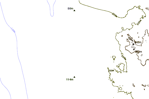
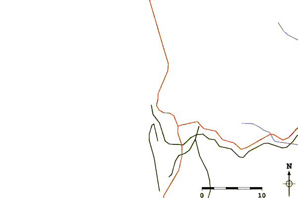
| Contours: | Roads & Rivers: | Select a
tide station / surf break / city |
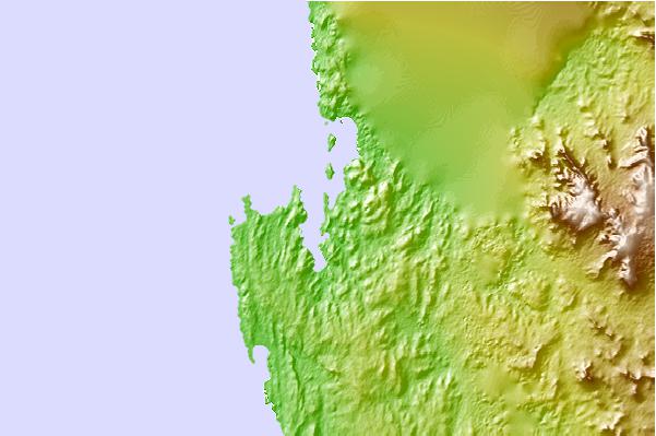
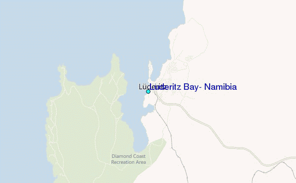
Use this relief map to navigate to tide stations, surf breaks and cities that are in the area of Luderitz Bay, Namibia.
Other Nearby Locations' tide tables and tide charts to Luderitz Bay, Namibia:
click location name for more details
 Surf breaks close to Luderitz Bay, Namibia:
|
||
|---|---|---|
| Closest surf break | Skeleton Bay | 53 mi |
| Second closest surf break | Last Toilet | 266 mi |
| Third closest surf break | Mussels | 266 mi |
| Fourth closest surf break | Guns | 267 mi |
| Fifth closest surf break | Paradise | 274 mi |


 Nearest
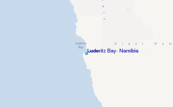