
| Distance / Altitude | Location | Report Date / Time | Live Weather | Wind | Gusts | Temp. | Visibility | Cloud |
|---|---|---|---|---|---|---|---|---|
| 12 km SSE / 3 m | Barbers Point Buoy- Kalaeloa (Marine) | 2024-04-25 22:00 local (2024/04/26 08:00 GMT) | - (- km/h at -) | 24°C | - | |||
| 17 km SE / 218 m | Kalaeloa Airport (Hawaii) | 2024-04-25 20:53 local (2024/04/26 06:53 GMT) | Clear | light winds from the NE (11 km/h at 50) | 23°C | 16 | ||
| 18 km ENE / 717 m | Wheeler Air Force Base/oahu Airport (Hawaii) | 2024-04-25 20:55 local (2024/04/26 06:55 GMT) | - | light winds from the E (6 km/h at 90) | 22°C | 16 | few | |
| 24 km E / 132 m | Pacific Palisades wx (United States) | 2024-04-25 22:13 local (2024/04/26 08:13 GMT) | dry | light winds from the ESE (6 km/h at 105) | 22°C | - | - - 0 | |
| 24 km ESE / 3 m | BUOY-PRHH1 (Marine) | 2024-04-25 22:00 local (2024/04/26 08:00 GMT) | light winds from the NNE (18 km/h at 20) | 24°C | - |
| Contours: | Roads & Rivers: | Select a
tide station / surf break / city |
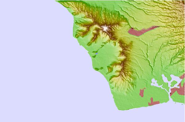
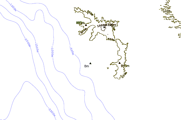
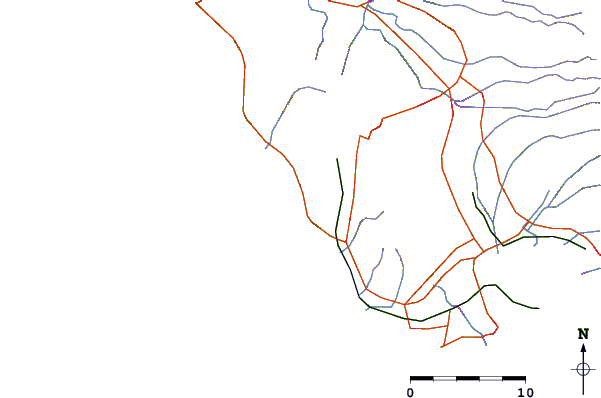
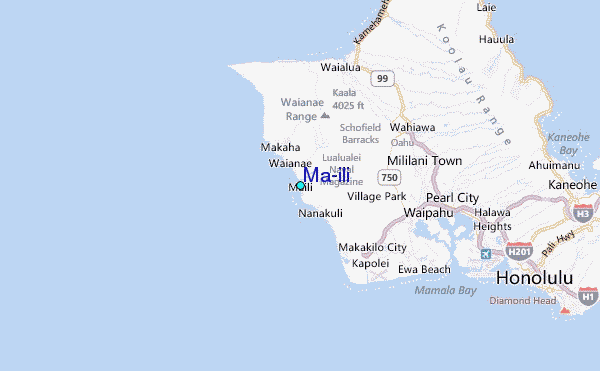
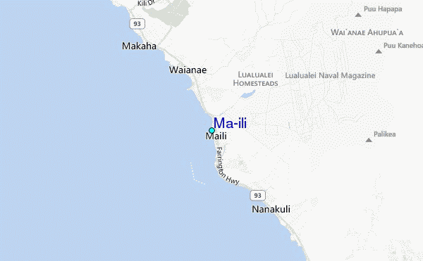
Use this relief map to navigate to tide stations, surf breaks and cities that are in the area of Ma'ili.
Other Nearby Locations' tide tables and tide charts to Ma'ili:
click location name for more details
 Surf breaks close to Ma'ili:
|
||
|---|---|---|
| Closest surf break | Sewers (Maili) | 0 mi |
| Second closest surf break | Maili Cloudbreak | 1 mi |
| Third closest surf break | Maili Point | 1 mi |
| Fourth closest surf break | Pokai Bay | 2 mi |
| Fifth closest surf break | Keaulanas | 4 mi |

 Nearest
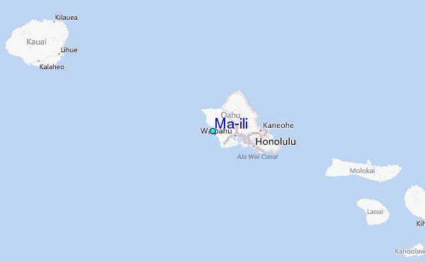