
| Distance / Altitude | Location | Report Date / Time | Live Weather | Wind | Gusts | Temp. | Visibility | Cloud |
|---|---|---|---|---|---|---|---|---|
| 1 km ENE / 212 m | Babelthuap (Palau)/Roman Tmetuchl International Airport (Micronesia) | 2026-06-09 13:50 local (2026/06/09 04:50 GMT) | Shower light rain shower | light winds from the WSW (19 km/h at 250) | 29°C | 11 | broken broken overcast | |
| 2 km ENE / 30 m | WeatherServiceOffice- Koror- Palau Wci. (Palau) | 2026-06-09 15:00 local (2026/06/09 06:00 GMT) | State of sky unchanged | light winds from the WNW (6 km/h at 290) | 29°C | 43 km | overcast | |
| 464 km ENE / 205 m | Yap Island Airport (Micronesia) | 2026-06-09 13:53 local (2026/06/09 04:53 GMT) | Dry and partly cloudy | light winds from the ESE (15 km/h at 110) | 31°C | 19 | scattered scattered broken | |
| 465 km ENE / 28 m | WeatherServiceOffice- Yap- Caroline Is. (Micronesia) | 2026-06-09 15:00 local (2026/06/09 06:00 GMT) | - | light winds from the (9 km/h at 990) | 30°C | 39 km | mostly cloudy | |
| 827 km W / 15 m | SHIP11623 (Marine) | 2026-06-09 12:00 local (2026/06/09 03:00 GMT) | light winds from the SE (11.16 km/h at 140) | 30°C | 17.7 km | |||
| 826 km W / 15 m | SHIP7142 (Marine) | 2026-06-09 12:00 local (2026/06/09 03:00 GMT) | light winds from the SE (11.16 km/h at 140) | 30°C | 17.7 km | |||
| 858 km WNW / 7 m | Catarman (Philippines) | 2026-06-09 15:00 local (2026/06/09 06:00 GMT) | no report | calm (4 km/h at 40) | 29°C | 20 | - | |
| 898 km SSW / 15 m | SHIP7423 (Marine) | 2026-06-09 11:00 local (2026/06/09 02:00 GMT) | moderate winds from the S (24.12 km/h at 180) | 32°C | 17.7 km | |||
| 898 km SSW / 15 m | SHIP11905 (Marine) | 2026-06-09 11:00 local (2026/06/09 02:00 GMT) | moderate winds from the S (24.12 km/h at 180) | 32°C | 17.7 km | |||
| 910 km S / 3 m | ManokwariRendani (Indonesia) | 2026-06-09 15:00 local (2026/06/09 06:00 GMT) | - | light winds from the SE (19 km/h at 130) | — | 30 km | - mostly cloudy - |
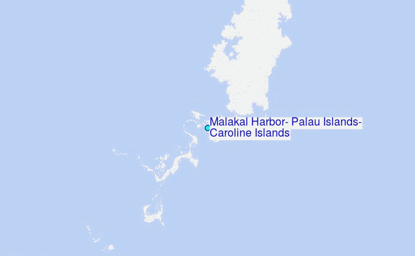
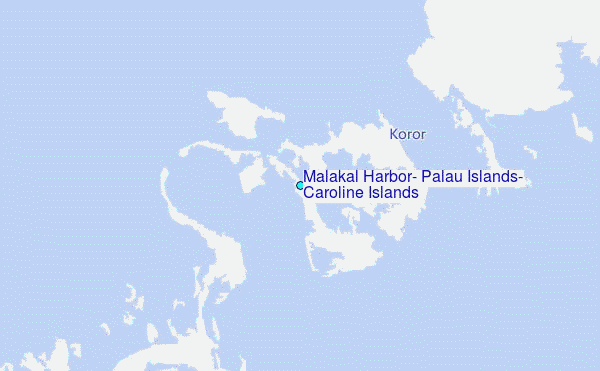
Choose Malakal Harbor, Palau Islands, Caroline Islands Location Map Zoom:
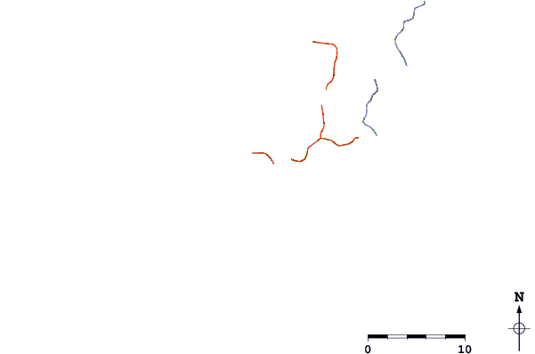
| Contours: | Roads & Rivers: | Select a
tide station / surf break / city |
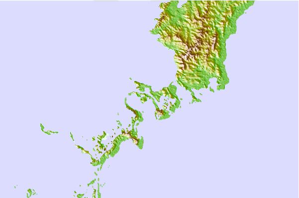
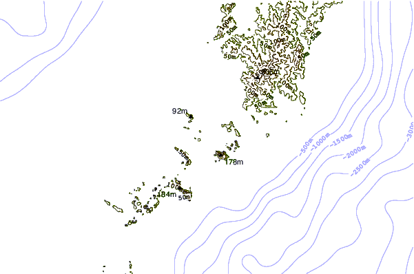
Use this relief map to navigate to tide stations, surf breaks and cities that are in the area of Malakal Harbor, Palau Islands, Caroline Islands.
Other Nearby Locations' tide tables and tide charts to Malakal Harbor, Palau Islands, Caroline Islands:
click location name for more details
 Surf breaks close to Malakal Harbor, Palau Islands, Caroline Islands:
|
||
|---|---|---|
| Closest surf break | West Passage (Babelthuap) | 14 mi |
| Second closest surf break | Melekeok (Babelthuap) | 16 mi |
| Third closest surf break | Santa Maria Anguar | 37 mi |
| Fourth closest surf break | Tago River | 574 mi |
| Fifth closest surf break | Marami Beach | 581 mi |


 Nearest
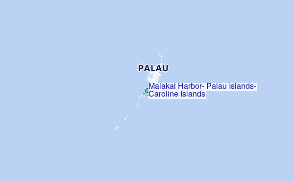