
| Distance / Altitude | Location | Report Date / Time | Live Weather | Wind | Gusts | Temp. | Visibility | Cloud |
|---|---|---|---|---|---|---|---|---|
| 175 km S / 95 m | Valledupar/Aeropuerto Alfonso López Pumarejo Airport (Columbia) | 2024-04-25 20:00 local (2024/04/26 01:00 GMT) | Dry and partly cloudy | moderate winds from the NE (20 km/h at 50) | 32°C | 10.0 | few scattered | |
| 205 km SW / 4 m | Gaira wx (Colombia) | 2024-04-25 21:01 local (2024/04/26 02:01 GMT) | dry | moderate winds from the SE (24 km/h at 140) | 29°C | - | - - 0 | |
| 206 km SW / 96 m | Santa Marta/Simón Bolívar International Airport (Columbia) | 2024-04-25 20:00 local (2024/04/26 01:00 GMT) | - | light winds from the NE.(Wind varies from 020 to 090 degs) (6 km/h at 40) | 30°C | 9.0 | few | |
| 271 km SW / 206 m | Barranquilla/Ernesto Cortissoz International Airport (Columbia) | 2024-04-25 20:00 local (2024/04/26 01:00 GMT) | - | moderate winds from the NNE (20 km/h at 30) | 28°C | 10.0 | few | |
| 278 km ENE / 169 m | Queen Beatrix Airport (Lesser Antilles) | 2024-04-25 20:00 local (2024/04/26 01:00 GMT) | - | fresh winds from the E (33 km/h at 80) | 29°C | 10.0 | few |
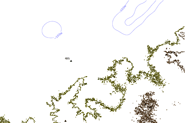
| Contours: | Roads & Rivers: | Select a
tide station / surf break / city |
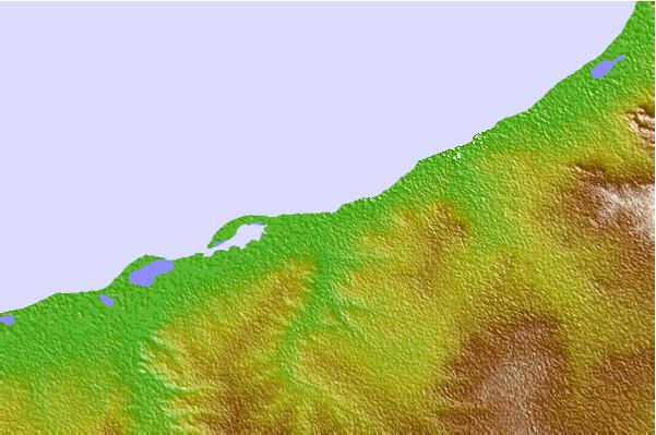
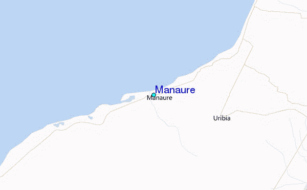
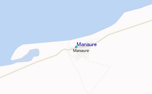
Use this relief map to navigate to tide stations, surf breaks and cities that are in the area of Manaure.
Other Nearby Locations' tide tables and tide charts to Manaure:
click location name for more details
 Surf breaks close to Manaure:
|
||
|---|---|---|
| Closest surf break | Cabo de la Vela | 35 mi |
| Second closest surf break | Playa Kasimesh | 39 mi |
| Third closest surf break | Punta Gallina | 69 mi |
| Fourth closest surf break | Dunas de Taroa | 75 mi |
| Fifth closest surf break | Palomino | 83 mi |

 Nearest
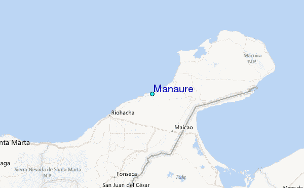