
| Distance / Altitude | Location | Report Date / Time | Live Weather | Wind | Gusts | Temp. | Visibility | Cloud |
|---|---|---|---|---|---|---|---|---|
| 56 km S / 220 m | Talara/Cap. FAP Víctor Montes Arias International Airport (Peru) | 2024-04-26 14:00 local (2024/04/26 19:00 GMT) | State of sky unchanged | light winds from the SSW (19 km/h at 200) | 33°C | 30 km | - clear - | |
| 96 km NE / 158 m | Tumbes Pedro Canga Rodríguez Airport (Peru) | 2024-04-26 14:00 local (2024/04/26 19:00 GMT) | Dry and partly cloudy | light winds from the WNW (15 km/h at 300) | 31°C | 10.0 | scattered scattered | |
| 96 km NE / 27 m | Tumbes (Peru) | 2024-04-26 13:00 local (2024/04/26 18:00 GMT) | State of sky unchanged | light winds from the NW (17 km/h at 310) | 32°C | 30 km | scattered | |
| 122 km E / 1495 m | Casharum wx (Ecuador) | 2024-04-26 12:47 local (2024/04/26 17:47 GMT) | dry | light winds from the W (8 km/h at 270) | 21°C | - | - - 0 | |
| 128 km SSE / 1 m | Piura/Capitán FAP Guillermo Concha Iberico International Airport (Peru) | 2024-04-26 14:00 local (2024/04/26 19:00 GMT) | Dry and partly cloudy | light winds from the WSW (13 km/h at 240) | 33°C | 10.0 | few scattered |
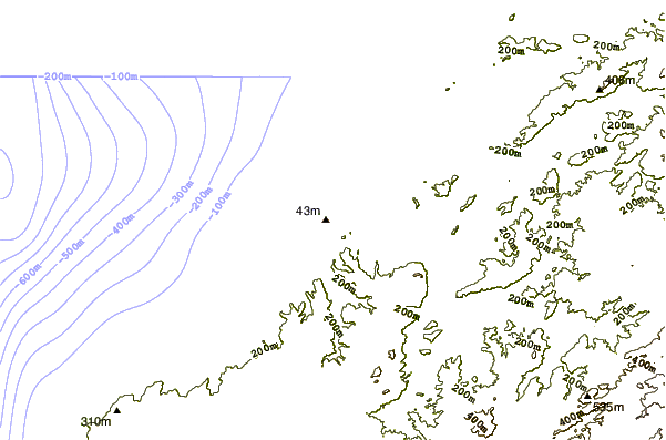
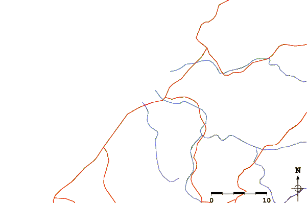
| Contours: | Roads & Rivers: | Select a
tide station / surf break / city |
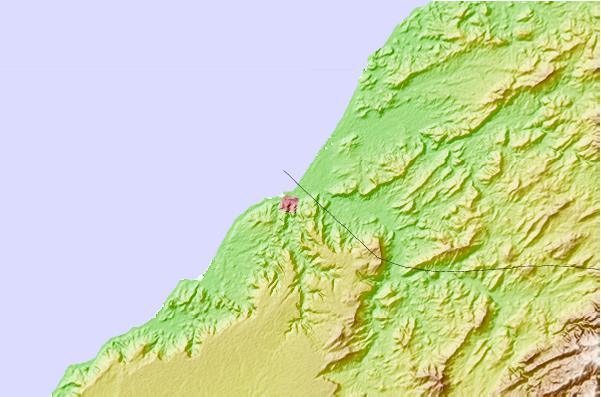
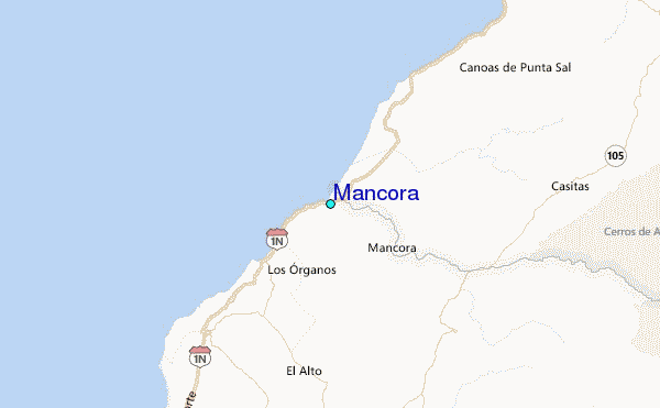
Use this relief map to navigate to tide stations, surf breaks and cities that are in the area of Mancora.
Other Nearby Locations' tide tables and tide charts to Mancora:
click location name for more details
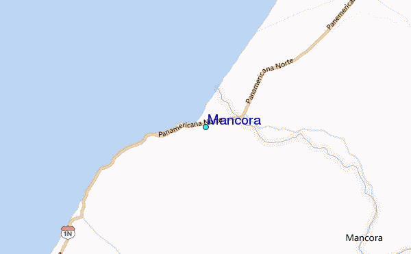
 Surf breaks close to Mancora:
|
||
|---|---|---|
| Closest surf break | Mancora | 1 mi |
| Second closest surf break | Punta Ballenas | 2 mi |
| Third closest surf break | Los Organos | 8 mi |
| Fourth closest surf break | Punta Sal | 10 mi |
| Fifth closest surf break | Cancas | 12 mi |

 Nearest
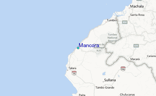