
| Distance / Altitude | Location | Report Date / Time | Live Weather | Wind | Gusts | Temp. | Visibility | Cloud |
|---|---|---|---|---|---|---|---|---|
| 20 km SSW / 417 m | Zamboanga Airport (Philippines) | 2024-04-26 21:00 local (2024/04/26 13:00 GMT) | lightning visible, no thunder heard | light winds from the W (11 km/h at 270) | 29°C | 10 | few scattered - | |
| 216 km NE / 5 m | Dipolog Mindanao Island (Philippines) | 2024-04-26 20:00 local (2024/04/26 12:00 GMT) | no report | calm (4 km/h at 160) | 29°C | 16 | - scattered - | |
| 223 km E / 53 m | Cotabato-Mindanao (Philippines) | 2024-04-26 21:00 local (2024/04/26 13:00 GMT) | lightning visible, no thunder heard | calm (4 km/h at 190) | 29°C | 12 | - scattered - | |
| 271 km E / 48 m | Davao Airport (Philippines) | 2024-04-26 21:00 local (2024/04/26 13:00 GMT) | no report | light winds from the S (7 km/h at 180) | 30°C | 12 | - | |
| 280 km NNE / 8 m | Dumaguete (Philippines) | 2024-04-26 21:00 local (2024/04/26 13:00 GMT) | no report | light winds from the SSW (7 km/h at 200) | 30°C | 10 | - |
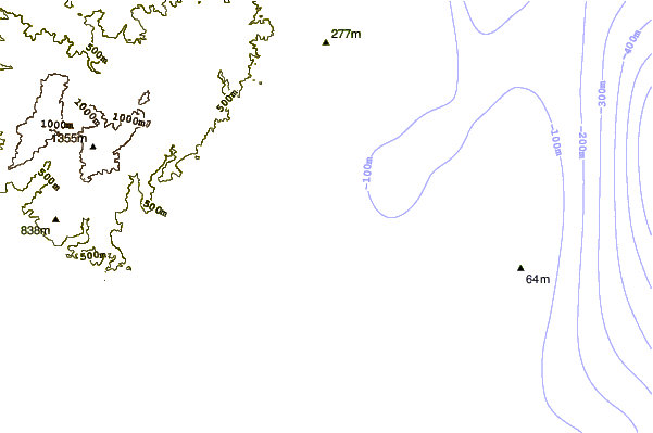
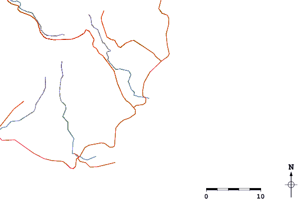
| Contours: | Roads & Rivers: | Select a
tide station / surf break / city |
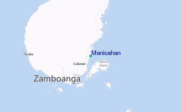
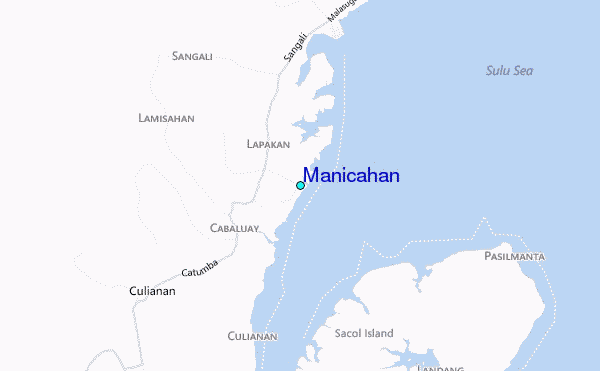
Use this relief map to navigate to tide stations, surf breaks and cities that are in the area of Manicahan.
Other Nearby Locations' tide tables and tide charts to Manicahan:
click location name for more details
 Surf breaks close to Manicahan:
|
||
|---|---|---|
| Closest surf break | Random Beach Break | 304 mi |
| Second closest surf break | Lanuza Rivermouth | 305 mi |
| Third closest surf break | Marami Beach | 307 mi |
| Fourth closest surf break | Big Star | 308 mi |
| Fifth closest surf break | Tago River | 310 mi |

 Nearest
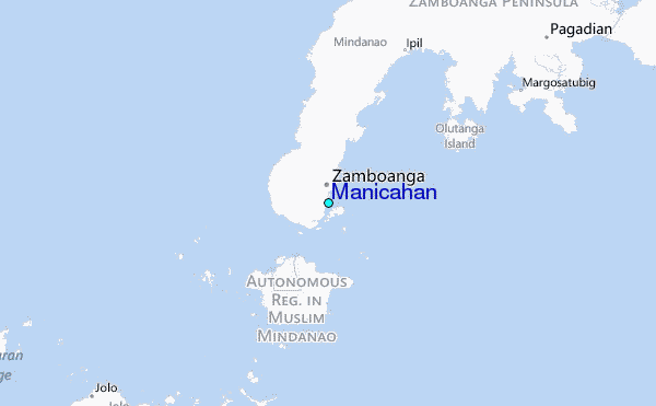