
| Distance / Altitude | Location | Report Date / Time | Live Weather | Wind | Gusts | Temp. | Visibility | Cloud |
|---|---|---|---|---|---|---|---|---|
| 17 km N / 219 m | Corlu Airport (Turkey) | 2024-04-26 11:20 local (2024/04/26 08:20 GMT) | Dry and partly cloudy | light winds from the WSW.(Wind varies from 220 to 290 degs) (11 km/h at 250) | 17°C | 10.0 | broken | |
| 34 km WSW / 120 m | Tekirdag (Turkey) | 2024-04-26 12:00 local (2024/04/26 09:00 GMT) | - | light winds from the SSE (11 km/h at 150) | 17°C | 40 km | scattered | |
| 73 km E / 33 m | Istanbul/Ataturk Airport (Turkey) | 2024-04-26 12:00 local (2024/04/26 09:00 GMT) | - | light winds from the WSW (17 km/h at 240) | 19°C | 30 km | scattered | |
| 73 km ENE / 99 m | Istanbul/Havalim Airport (Turkey) | 2024-04-26 11:20 local (2024/04/26 08:20 GMT) | no report | light winds from the NNE (13 km/h at 20) | 14°C | 10 | broken broken - | |
| 73 km S / 216 m | Bandirma Airport (Turkey) | 2024-04-26 12:00 local (2024/04/26 09:00 GMT) | no report | light winds from the W.(Wind varies from 200 to 340 degs) (6 km/h at 260) | 17°C | 10 | - - - |
| Contours: | Roads & Rivers: | Select a
tide station / surf break / city |
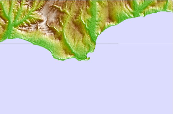
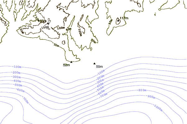
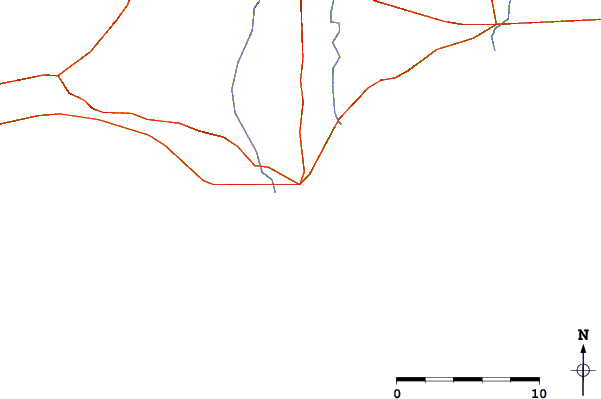
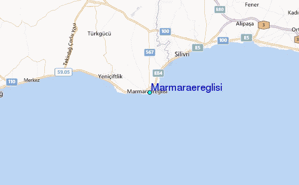
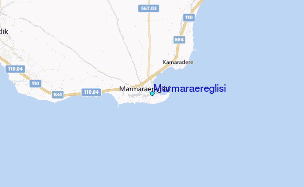
Use this relief map to navigate to tide stations, surf breaks and cities that are in the area of Marmaraereglisi.
Other Nearby Locations' tide tables and tide charts to Marmaraereglisi:
click location name for more details
 Surf breaks close to Marmaraereglisi:
|
||
|---|---|---|
| Closest surf break | Silistar | 73 mi |
| Second closest surf break | Ahtopol | 78 mi |
| Third closest surf break | Varvara | 80 mi |
| Fourth closest surf break | Melnitza | 83 mi |
| Fifth closest surf break | Lozenets Beach | 86 mi |

 Nearest
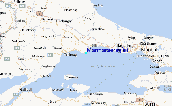