
| Distance / Altitude | Location | Report Date / Time | Live Weather | Wind | Gusts | Temp. | Visibility | Cloud |
|---|---|---|---|---|---|---|---|---|
| 78 km ESE / 64 m | Mao (Dominican Republic) | 2026-06-08 23:06 local (2026/06/09 03:06 GMT) | dry | calm (0 km/h at 278) | 24°C | - | - - 0 | |
| 115 km ESE / 209 m | Santiago International Airport (Dominican Republic) | 2026-06-08 22:00 local (2026/06/09 02:00 GMT) | Dry and cloudy | light winds from the E.(Wind varies from 060 to 140 degs) (7 km/h at 100) | 27°C | 10.0 | few scattered overcast | |
| 126 km E / 466 m | Puerto Plata IN Airport (Dominican Republic) | 2026-06-08 22:00 local (2026/06/09 02:00 GMT) | Dry and partly cloudy | calm (0 km/h at 0) | 26°C | 10.0 | few broken | |
| 128 km E / 96 m | Puerto Plata IN Airport (Dominican Republic) | 2026-06-08 23:00 local (2026/06/09 03:00 GMT) | Widespread dust in suspension not raised by wind | calm (0 km/h at 0) | 26°C | 30 km | - mostly cloudy - | |
| 146 km ESE / 200 m | Los Zanjón wx (Dominican Republic) | 2026-06-08 23:28 local (2026/06/09 03:28 GMT) | dry | calm (0 km/h at ) | 26°C | - | - - 0 | |
| 227 km SE / 30 m | La Isabela International Airport (Dominican republic) | 2026-06-08 22:00 local (2026/06/09 02:00 GMT) | Dry and partly cloudy | calm (0 km/h at 0) | 27°C | 10.0 | broken scattered | |
| 233 km NW / 296 m | Providenciales Airport (Bahamas) | 2026-06-08 22:00 local (2026/06/09 02:00 GMT) | - | light winds from the ENE (7 km/h at 60) | 28°C | 10.0 | few | |
| 233 km N / 1 m | Kingston wx (Turks and Caicos Islands) | 2026-06-08 23:46 local (2026/06/09 03:46 GMT) | dry | light winds from the ESE (13 km/h at 117) | 28°C | - | - - 0 | |
| 244 km SE / 14 m | SantoDomingo(78486 -0) (Dominican Republic) | 2026-06-08 23:00 local (2026/06/09 03:00 GMT) | Widespread dust in suspension not raised by wind | calm (0 km/h at 0) | 28°C | 32 km | mostly cloudy | |
| 245 km ESE / 41 m | Ensanche Savica de Mendoza wx (Dominican Republic) | 2026-06-08 23:09 local (2026/06/09 03:09 GMT) | dry | calm (2 km/h at 202) | 27°C | - | - - 0 |
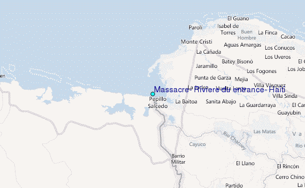
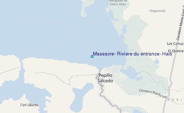
Choose Massacre, Riviere du entrance, Haiti Location Map Zoom:
| Contours: | Roads & Rivers: | Select a
tide station / surf break / city |
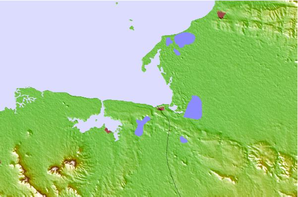
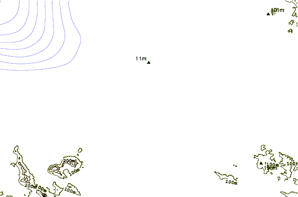
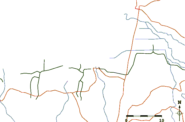
Use this relief map to navigate to tide stations, surf breaks and cities that are in the area of Massacre, Rivière du entrance, Haiti.
Other Nearby Locations' tide tables and tide charts to Massacre, Riviere du entrance, Haiti:
click location name for more details
 Surf breaks close to Massacre, Riviere du entrance, Haiti:
|
||
|---|---|---|
| Closest surf break | Tea Break | 67 mi |
| Second closest surf break | Coffee Break | 70 mi |
| Third closest surf break | La Puntilla (Puerto Plata) | 70 mi |
| Fourth closest surf break | El Canal | 81 mi |
| Fifth closest surf break | Encuentro | 81 mi |


 Nearest
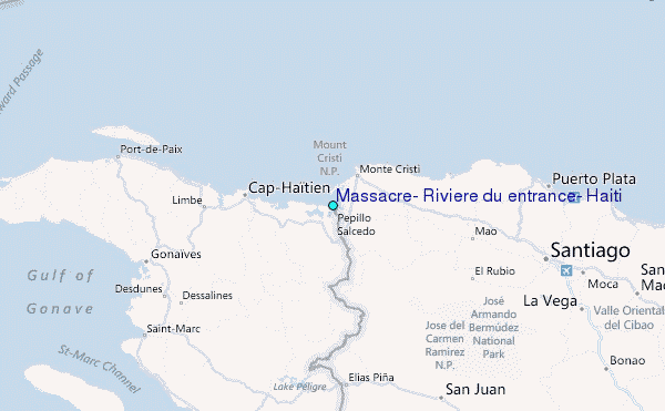