
| Distance / Altitude | Location | Report Date / Time | Live Weather | Wind | Gusts | Temp. | Visibility | Cloud |
|---|---|---|---|---|---|---|---|---|
| 6 km N / 8 m | Masset Airport (British columbia) | 2026-06-09 08:00 local (2026/06/09 16:00 GMT) | Dry and cloudy | light winds from the NW.(Wind varies from 300 to 010 degs) (9 km/h at 320) | 11°C | 24 | few overcast | |
| 36 km ENE / 7 m | Rose Spit Airport (Canada) | 2026-06-09 09:00 local (2026/06/09 17:00 GMT) | no report | moderate winds from the WNW (22 km/h at 290) | 10°C | - | - no observation - | |
| 37 km NE / 212 m | Rose Spit Airport (British Columbia) | 2026-06-09 08:00 local (2026/06/09 16:00 GMT) | - | light winds from the W (13 km/h at 280) | 10°C | 0.0 | ||
| 47 km NW / 3 m | Central Dixon Entrance Buoy (Marine) | 2026-06-09 09:00 local (2026/06/09 17:00 GMT) | moderate winds from the WNW (22 km/h at 290) | 10°C | - | |||
| 49 km NW / - m | SHIP480 (ocean) | 2026-06-09 07:00 local (2026/06/09 15:00 GMT) | - | light winds from the WNW (18 km/h at 290) | 10°C | - | no observation | |
| 50 km NW / - m | SHIP1450 (ocean) | 2026-06-09 08:00 local (2026/06/09 16:00 GMT) | - | light winds from the WNW (18 km/h at 290) | 10°C | - | no observation | |
| 50 km NW / - m | SHIP436 (ocean) | 2026-06-09 08:00 local (2026/06/09 16:00 GMT) | - | light winds from the WNW (18 km/h at 290) | 10°C | - | no observation | |
| 50 km NW / - m | SHIP1356 (ocean) | 2026-06-09 09:00 local (2026/06/09 17:00 GMT) | - | moderate winds from the WNW (22 km/h at 290) | 10°C | - | no observation | |
| 67 km W / 205 m | Langara Airport (British Columbia) | 2026-06-09 08:00 local (2026/06/09 16:00 GMT) | - | wind obs. (6 kph from 360 degs) was rejected (- km/h at -) | 10°C | 0.0 | ||
| 68 km W / 49 m | Langara Island Rcs- BC (Canada) | 2026-06-09 09:00 local (2026/06/09 17:00 GMT) | no report | wind obs. (14 kph from 220 degs) was rejected (- km/h at -) | 9°C | - | - |
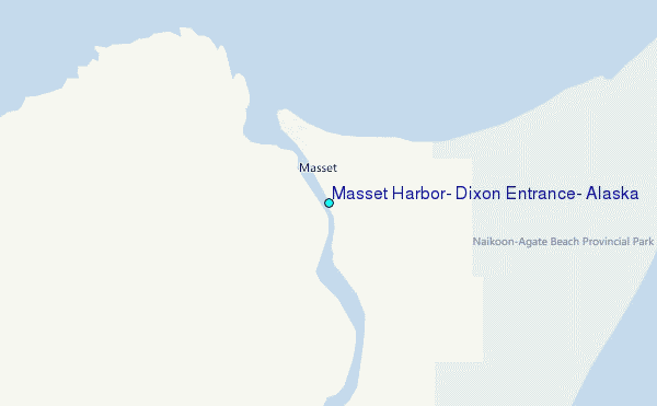
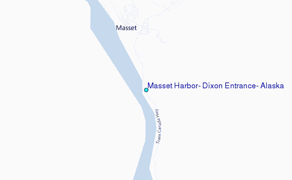
Choose Masset Harbor, Dixon Entrance, Alaska Location Map Zoom:
| Contours: | Roads & Rivers: | Select a
tide station / surf break / city |
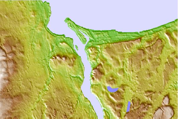
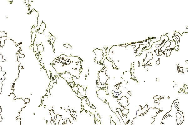
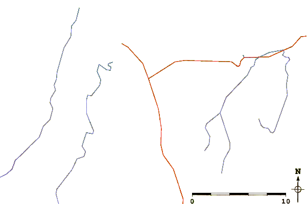
Use this relief map to navigate to tide stations, surf breaks and cities that are in the area of Masset Harbor, Dixon Entrance, Alaska.
Other Nearby Locations' tide tables and tide charts to Masset Harbor, Dixon Entrance, Alaska:
click location name for more details
 Surf breaks close to Masset Harbor, Dixon Entrance, Alaska:
|
||
|---|---|---|
| Closest surf break | Tow Hill Beach | 16 mi |
| Second closest surf break | Lepus Beach (Haida-Gwaii) | 39 mi |
| Third closest surf break | Nootka Island (Calvin Bay) | 375 mi |
| Fourth closest surf break | Tofino (North Chestermans Beach) | 429 mi |
| Fifth closest surf break | South Chesterman Beach | 431 mi |


 Nearest
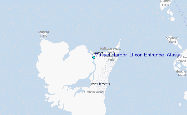