
| Distance / Altitude | Location | Report Date / Time | Live Weather | Wind | Gusts | Temp. | Visibility | Cloud |
|---|---|---|---|---|---|---|---|---|
| 98 km NE / 2727 m | Arequipa/Rodriguez Ballon Airport (Peru) | 2025-12-25 23:00 local (2025/12/26 04:00 GMT) | - | calm (4 km/h at 1) | — | 0.0 | ||
| 228 km ESE / 700 m | Tacna/Coronel FAP Carlos Ciriani Santa Rosa International Airport (Peru) | 2025-12-25 23:00 local (2025/12/26 04:00 GMT) | - | light winds from the WNW (6 km/h at 300) | 19°C | 10.0 | few | |
| 228 km ESE / 469 m | Tacna (Peru) | 2025-12-25 22:00 local (2025/12/26 03:00 GMT) | Clouds dissolving | calm (4 km/h at 230) | 19°C | 30 km | clear | |
| 240 km SE / 211 m | Arica/Chacalluta Airport (Chile) | 2025-12-25 23:00 local (2025/12/26 04:00 GMT) | - | light winds from the E (11 km/h at 90) | — | 0.0 | ||
| 241 km SE / 52 m | Arica (Chile) | 2025-12-25 22:00 local (2025/12/26 03:00 GMT) | no report | light winds from the SSW (18 km/h at 200) | 16°C | - | - | |
| 254 km SE / 77 m | Defensa Civil- Arica (Chile) | 2025-12-25 22:00 local (2025/12/26 03:00 GMT) | no report | light winds from the SSW (14 km/h at 210) | 16°C | - | - | |
| 302 km ESE / 3591 m | Putre (Chile) | 2025-12-25 22:00 local (2025/12/26 03:00 GMT) | no report | wind obs. (36 kph from 80 degs) was rejected (- km/h at -) | 7°C | - | - | |
| 382 km N / 3533 m | Cuzco/Velazco Astete Airport (Peru) | 2025-12-25 23:30 local (2025/12/26 04:30 GMT) | Dry and partly cloudy | calm (4 km/h at 1) | 10°C | 10.0 | scattered broken | |
| 384 km N / 3249 m | Cuzco (Peru) | 2025-12-25 22:00 local (2025/12/26 03:00 GMT) | Clouds developing | calm (4 km/h at 990) | 10°C | 30 km | mostly cloudy | |
| 423 km E / 4038 m | LAPazAlto (Bolivia) | 2025-12-25 22:00 local (2025/12/26 03:00 GMT) | Lightning visible, no thunder heard | light winds from the NNE (11 km/h at 20) | 7°C | 30 km | mostly cloudy |
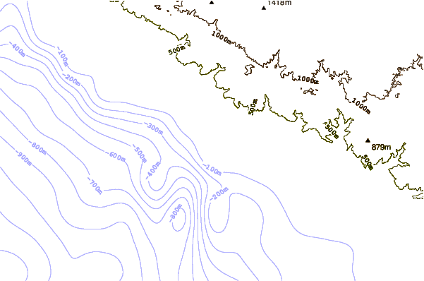
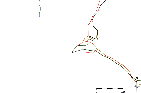
| Contours: | Roads & Rivers: | Select a
tide station / surf break / city |
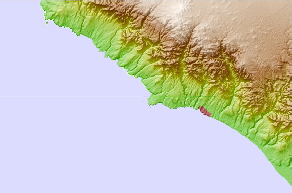
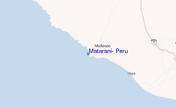
Use this relief map to navigate to tide stations, surf breaks and cities that are in the area of Matarani, Peru.
Other Nearby Locations' tide tables and tide charts to Matarani, Peru:
click location name for more details
 Surf breaks close to Matarani, Peru:
|
||
|---|---|---|
| Closest surf break | Caleta Mejia | 16 mi |
| Second closest surf break | Punta Bombon | 29 mi |
| Third closest surf break | El Olon de Ilo | 65 mi |
| Fourth closest surf break | Piedras Negras | 67 mi |
| Fifth closest surf break | Caleta Sama | 106 mi |


 Nearest
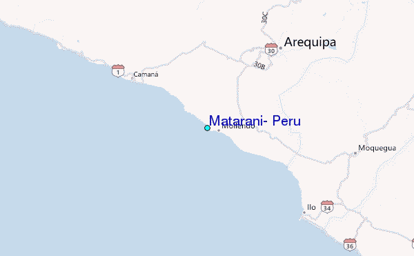