
| Distance / Altitude | Location | Report Date / Time | Live Weather | Wind | Gusts | Temp. | Visibility | Cloud |
|---|---|---|---|---|---|---|---|---|
| 12 km ENE / 182 m | Maputo/Lourenço Marques Airport (Mozambique) | 2024-04-26 11:00 local (2024/04/26 09:00 GMT) | Dry and partly cloudy | light winds from the SSE.(Wind varies from 140 to 200 degs) (11 km/h at 150) | 27°C | 10.0 | broken | |
| 12 km ENE / 44 m | Maputo/Mavalane (Mozambique) | 2024-04-26 11:00 local (2024/04/26 09:00 GMT) | no report | light winds from the SSE (11 km/h at 150) | 27°C | 20 | - - - | |
| 12 km ENE / 30 m | Inhagoia ”A” wx (Mozambique) | 2024-04-26 11:01 local (2024/04/26 09:01 GMT) | - | light winds from the SSE (11 km/h at 150) | 27°C | - | - - 0 | |
| 75 km WNW / 100 m | Komatidraai (S. Africa) | 2024-04-26 11:00 local (2024/04/26 09:00 GMT) | no report | wind obs. (6 kph from 50 degs) was rejected (- km/h at -) | 29°C | - | - | |
| 86 km SW / 326 m | King Mswati Iii (Eswatini) | 2024-04-26 11:00 local (2024/04/26 09:00 GMT) | Dry and partly cloudy | moderate winds from the SSE (22 km/h at 150) | 23°C | 10.0 | few scattered broken |
| Contours: | Roads & Rivers: | Select a
tide station / surf break / city |
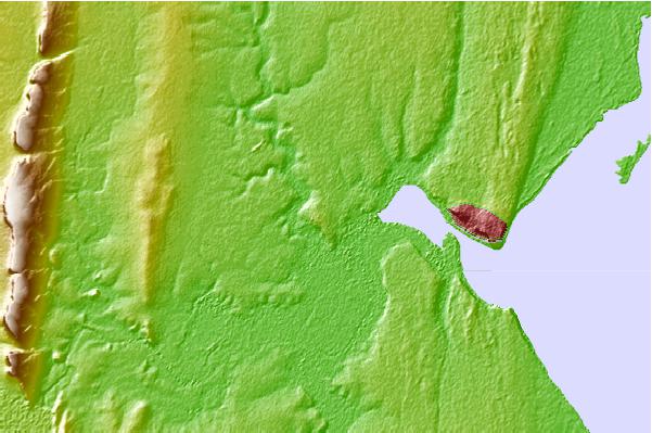
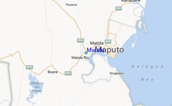
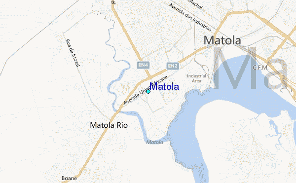
Use this relief map to navigate to tide stations, surf breaks and cities that are in the area of Matola.
Other Nearby Locations' tide tables and tide charts to Matola:
click location name for more details
 Surf breaks close to Matola:
|
||
|---|---|---|
| Closest surf break | Ponta do Ouro | 67 mi |
| Second closest surf break | Kosi Bay | 68 mi |
| Third closest surf break | Sodwana | 81 mi |
| Fourth closest surf break | Cape Vidal | 150 mi |
| Fifth closest surf break | Quissico | 159 mi |

 Nearest