
| Distance / Altitude | Location | Report Date / Time | Live Weather | Wind | Gusts | Temp. | Visibility | Cloud |
|---|---|---|---|---|---|---|---|---|
| 16 km N / 3 m | SHIP841 (Marine) | 2024-04-27 05:00 local (2024/04/27 03:00 GMT) | - (- km/h at -) | 7°C | - | |||
| 18 km NE / 4 m | RotterdamGeulhaven (Netherlands) | 2024-04-27 06:00 local (2024/04/27 04:00 GMT) | no report | light winds from the ENE (14 km/h at 60) | — | - | - no observation - | |
| 21 km S / 2 m | Stavenisse (Netherlands) | 2024-04-27 06:00 local (2024/04/27 04:00 GMT) | - | light winds from the ESE (11 km/h at 110) | — | - | no observation | |
| 26 km N / 12 m | HoekVanHolland Aws (Netherlands) | 2024-04-27 06:00 local (2024/04/27 04:00 GMT) | - | light winds from the ENE (14 km/h at 70) | 8°C | - | no observation | |
| 29 km NE / 220 m | Rotterdam Airport (Netherlands) | 2024-04-27 05:25 local (2024/04/27 03:25 GMT) | Dry and partly cloudy | light winds from the ENE (11 km/h at 60) | 7°C | 10.0 | no significant cloud |
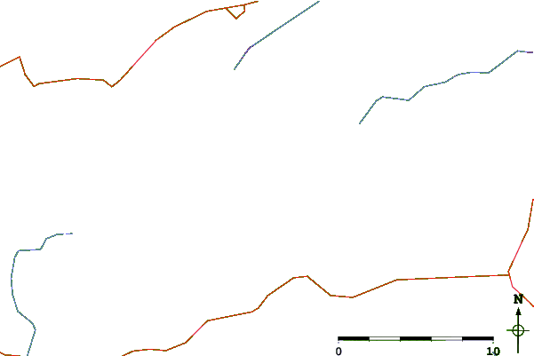
| Contours: | Roads & Rivers: | Select a
tide station / surf break / city |
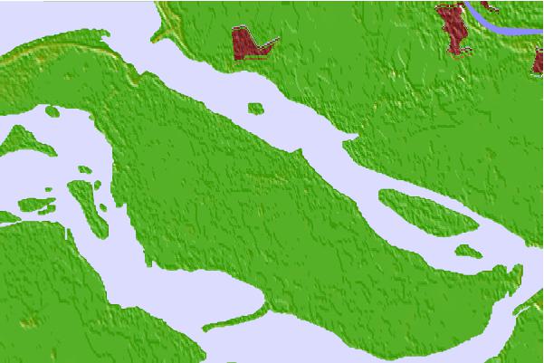

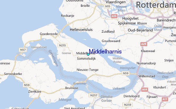
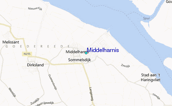
Use this relief map to navigate to tide stations, surf breaks and cities that are in the area of Middelharnis.
Other Nearby Locations' tide tables and tide charts to Middelharnis:
click location name for more details
 Surf breaks close to Middelharnis:
|
||
|---|---|---|
| Closest surf break | Slufter | 11 mi |
| Second closest surf break | Blokken | 11 mi |
| Third closest surf break | Maasvlakte | 12 mi |
| Fourth closest surf break | Maasexpress | 15 mi |
| Fifth closest surf break | Ter Heijde | 19 mi |

 Nearest
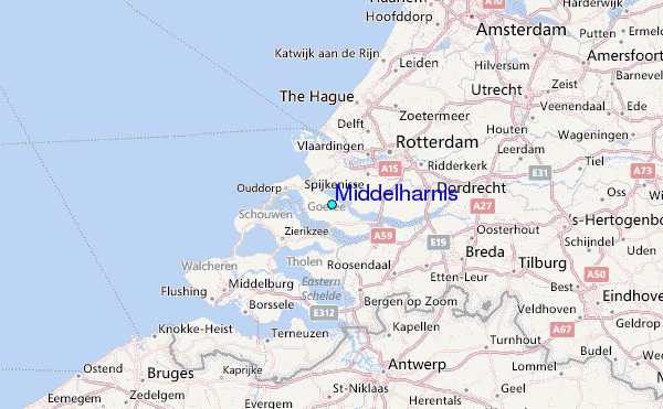