
| Distance / Altitude | Location | Report Date / Time | Live Weather | Wind | Gusts | Temp. | Visibility | Cloud |
|---|---|---|---|---|---|---|---|---|
| 20 km S / 3 m | SEPA Arbroath wave rider (Marine) | 2024-04-26 23:30 local (2024/04/26 22:30 GMT) | - (- km/h at -) | — | - | |||
| 21 km NE / 134 m | Inverbervie (saws) (United Kingdom) | 2024-04-27 00:00 local (2024/04/26 23:00 GMT) | no report | light winds from the S (9 km/h at 170) | 5°C | 45 km | - overcast - | |
| 44 km NNE / 31 m | Peterculter wx (United Kingdom) | 2024-04-26 23:38 local (2024/04/26 22:38 GMT) | dry | calm (0 km/h at 0) | 3°C | - | - - 0 | |
| 44 km S / 12 m | Leuchars (United Kingdom) | 2024-04-27 00:00 local (2024/04/26 23:00 GMT) | no report | light winds from the SE (9 km/h at 130) | 6°C | 55 | - overcast - | |
| 45 km NW / 140 m | Aboyne NO 2 (United Kingdom) | 2024-04-26 23:00 local (2024/04/26 22:00 GMT) | no report | calm (4 km/h at 90) | 2°C | 30 | - overcast - |
| Contours: | Roads & Rivers: | Select a
tide station / surf break / city |
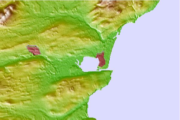
Use this relief map to navigate to tide stations, surf breaks and cities that are in the area of Montrose.
Other Nearby Locations' tide tables and tide charts to Montrose:
click location name for more details
 Surf breaks close to Montrose:
|
||
|---|---|---|
| Closest surf break | Montrose | 2 mi |
| Second closest surf break | Lunan Bay | 4 mi |
| Third closest surf break | Johnshaven | 8 mi |
| Fourth closest surf break | Arbroath | 12 mi |
| Fifth closest surf break | Inverbervie | 12 mi |

 Nearest