
| Distance / Altitude | Location | Report Date / Time | Live Weather | Wind | Gusts | Temp. | Visibility | Cloud |
|---|---|---|---|---|---|---|---|---|
| 1 km W / 15 m | SHIP9485 (Marine) | 2026-06-09 05:00 local (2026/06/09 04:00 GMT) | - (- km/h at -) | — | - km | |||
| 6 km E / 74 m | Nairn (United Kingdom) | 2026-06-09 06:24 local (2026/06/09 05:24 GMT) | dry | calm (0 km/h at 0) | 11°C | - | - - 0 | |
| 9 km S / 215 m | Inverness/Dalcross Airport (United Kingdom) | 2026-06-09 05:20 local (2026/06/09 04:20 GMT) | Dry and partly cloudy | light winds from the SSW (9 km/h at 200) | 9°C | 10.0 | no cloud | |
| 17 km SW / 18 m | Munlochy (United Kingdom) | 2026-06-09 06:39 local (2026/06/09 05:39 GMT) | dry | calm (2 km/h at 242) | 10°C | - | - - 0 | |
| 25 km N / 188 m | Tain Range (United Kingdom) | 2026-06-09 05:20 local (2026/06/09 04:20 GMT) | Dry and partly cloudy | calm (4 km/h at 110) | 7°C | 10.0 | no cloud - - | |
| 1 km W / 3 m | SHIP5971 (Marine) | 2026-06-09 05:00 local (2026/06/09 04:00 GMT) | - (- km/h at -) | — | - | |||
| 1 km W / 3 m | SHIP2903 (Marine) | 2026-06-09 05:00 local (2026/06/09 04:00 GMT) | - (- km/h at -) | — | - | |||
| 1 km W / 15 m | SHIP5671 (Marine) | 2026-06-09 06:00 local (2026/06/09 05:00 GMT) | - (- km/h at -) | — | - km | |||
| 1 km W / 15 m | SHIP6756 (Marine) | 2026-06-09 05:00 local (2026/06/09 04:00 GMT) | - (- km/h at -) | — | - km | |||
| 6 km E / 74 m | Nairn (United Kingdom) | 2026-06-09 06:24 local (2026/06/09 05:24 GMT) | dry | calm (0 km/h at 0) | 11°C | - | - - 0 |
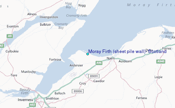
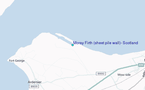
Choose Moray Firth (sheet pile wall), Scotland Location Map Zoom:
| Contours: | Roads & Rivers: | Select a
tide station / surf break / city |
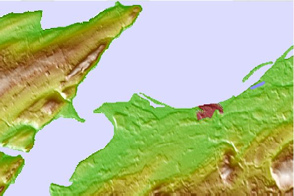
Use this relief map to navigate to tide stations, surf breaks and cities that are in the area of Moray Firth (sheet pile wall), Scotland.
Other Nearby Locations' tide tables and tide charts to Moray Firth (sheet pile wall), Scotland:
click location name for more details
 Surf breaks close to Moray Firth (sheet pile wall), Scotland:
|
||
|---|---|---|
| Closest surf break | Lossiemouth | 28 mi |
| Second closest surf break | Spey Bay | 33 mi |
| Third closest surf break | Cullen | 44 mi |
| Fourth closest surf break | Sandend Bay | 47 mi |
| Fifth closest surf break | Boyndie Bay | 53 mi |


 Nearest
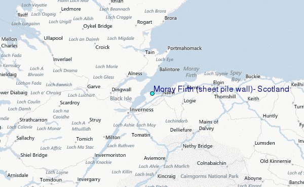