
| Distance / Altitude | Location | Report Date / Time | Live Weather | Wind | Gusts | Temp. | Visibility | Cloud |
|---|---|---|---|---|---|---|---|---|
| 0 km S / 3 m | BUOY-MLSC1 (Marine) | 2024-04-26 10:00 local (2024/04/26 17:00 GMT) | - (- km/h at -) | — | - | |||
| 5 km NW / 3 m | BUOY-46279 (Marine) | 2024-04-26 09:56 local (2024/04/26 16:56 GMT) | - (- km/h at -) | 13°C | - | |||
| 5 km ENE / 3 m | BUOY-ELXC1 (Marine) | 2024-04-26 08:45 local (2024/04/26 15:45 GMT) | light winds from the NW (15 km/h at 310) | 13°C | - | |||
| 15 km N / 216 m | Watsonville Airport (California) | 2024-04-26 09:37 local (2024/04/26 16:37 GMT) | Dry and partly cloudy | light winds from the W (15 km/h at 260) | 16°C | 16 | scattered | |
| 15 km S / 41 m | Fort Ord/Fritzsche Airport (California) (California) | 2024-04-26 09:35 local (2024/04/26 16:35 GMT) | Dry and partly cloudy | fresh winds from the WNW (30 km/h at 290) | 12°C | 16 | broken |
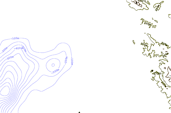
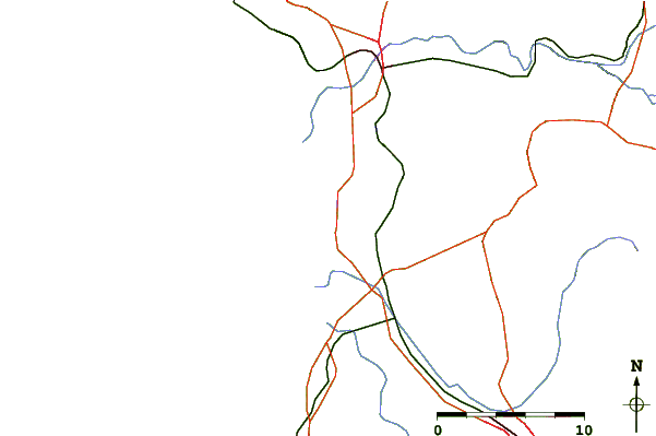
| Contours: | Roads & Rivers: | Select a
tide station / surf break / city |
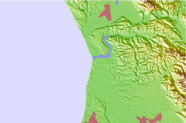
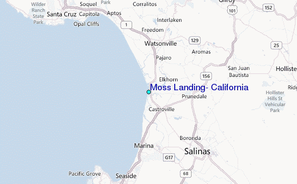
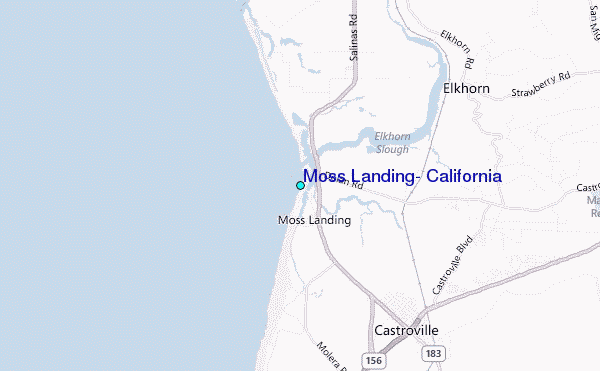
Use this relief map to navigate to tide stations, surf breaks and cities that are in the area of Moss Landing, California.
Other Nearby Locations' tide tables and tide charts to Moss Landing, California:
click location name for more details
 Surf breaks close to Moss Landing, California:
|
||
|---|---|---|
| Closest surf break | Salinas River State Beach | 0 mi |
| Second closest surf break | Moss Landing | 1 mi |
| Third closest surf break | Zmudowski State Beach | 1 mi |
| Fourth closest surf break | Marina State Beach | 4 mi |
| Fifth closest surf break | Marina | 7 mi |

 Nearest
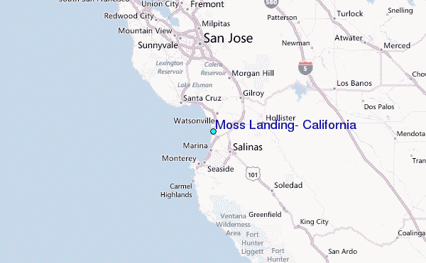