
| Distance / Altitude | Location | Report Date / Time | Live Weather | Wind | Gusts | Temp. | Visibility | Cloud |
|---|---|---|---|---|---|---|---|---|
| 110 km SW / 330 m | LANDESOL (Spain) | 2026-06-09 13:00 local (2026/06/09 03:00 GMT) | - | wind obs. (2 kph from 353 degs) was rejected (- km/h at -) | — | - | - - 0 | |
| 133 km S / 211 m | Weno Island/Chuuk International Airport (Micronesia) | 2026-06-09 11:52 local (2026/06/09 01:52 GMT) | Dry and cloudy | light winds from the NE (19 km/h at 40) | 29°C | 24 | scattered broken overcast | |
| 682 km ESE / 235 m | Pohnpei Airport (Micronesia) | 2026-06-09 11:54 local (2026/06/09 01:54 GMT) | Dry and cloudy | wind obs. (9 kph from 40 degs) was rejected (- km/h at -) | 32°C | 24 | scattered broken overcast | |
| 904 km NNE / 3 m | SHIP5262 (Marine) | 2026-06-09 12:00 local (2026/06/09 02:00 GMT) | light winds from the E (18 km/h at 90) | 34°C | 50.0 | |||
| 937 km SE / 7 m | Cassidy International Airport (Kiribati) | 2026-06-09 12:00 local (2026/06/09 02:00 GMT) | Dry and partly cloudy | wind obs. (9 kph from 100 degs) was rejected (- km/h at -) | 31°C | 10.0 | few broken | |
| 900 km NNE / 15 m | SHIP3162 (Marine) | 2026-06-09 12:00 local (2026/06/09 02:00 GMT) | light winds from the E (18.36 km/h at 90) | 28°C | 43.5 km | |||
| 900 km NNE / 15 m | SHIP7143 (Marine) | 2026-06-09 12:00 local (2026/06/09 02:00 GMT) | light winds from the E (18.36 km/h at 90) | 28°C | 43.5 km | |||
| 934 km SE / 7 m | Cassidy International Airport (Kiribati) | 2026-06-09 12:00 local (2026/06/09 02:00 GMT) | Dry and partly cloudy | wind obs. (9 kph from 100 degs) was rejected (- km/h at -) | 31°C | 10.0 | few broken | |
| 953 km WNW / 0 m | lightning (Guam) | 2026-06-09 12:19 local (2026/06/09 02:19 GMT) | Thunderstorm | (- km/h at -) | — | |||
| 969 km W / 218 m | Agana- Guam Airport (Guam) | 2026-06-09 11:54 local (2026/06/09 01:54 GMT) | - | light winds from the E (19 km/h at 80) | 31°C | 16 | few |
| Contours: | Roads & Rivers: | Select a
tide station / surf break / city |
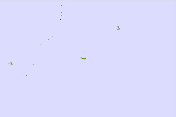

Use this relief map to navigate to tide stations, surf breaks and cities that are in the area of Murilo Atoll, Hall Islands.
Other Nearby Locations' tide tables and tide charts to Murilo Atoll, Hall Islands:
click location name for more details
 Surf breaks close to Murilo Atoll, Hall Islands:
|
||
|---|---|---|
| Closest surf break | Talofofo/The Bay | 603 mi |
| Second closest surf break | Pickop's Point | 604 mi |
| Third closest surf break | Ylig | 605 mi |
| Fourth closest surf break | Threes | 607 mi |
| Fifth closest surf break | Tubeys/Point Death | 608 mi |


 Nearest