
| Distance / Altitude | Location | Report Date / Time | Live Weather | Wind | Gusts | Temp. | Visibility | Cloud |
|---|---|---|---|---|---|---|---|---|
| 117 km SE / 411 m | Dzaoudzi/Pamanzi Airport (Comoros) | 2024-04-26 16:30 local (2024/04/26 13:30 GMT) | - | light winds from the SSE (9 km/h at 160) | — | 0.0 | ||
| 119 km SE / 581 m | Pamandzi(Mayotte) (France) | 2024-04-26 15:00 local (2024/04/26 12:00 GMT) | Clear skies | light winds from the S (11 km/h at 180) | 31°C | 40 km | no observation | |
| 143 km W / 29 m | HahayaInt.Airport (Comoros) | 2024-04-26 15:00 local (2024/04/26 12:00 GMT) | - | moderate winds from the SW (28 km/h at 220) | 30°C | 50 km | mostly cloudy | |
| 318 km E / 4 m | Iles Glorieuses (France) | 2024-04-26 15:00 local (2024/04/26 12:00 GMT) | no report | light winds from the E (7 km/h at 80) | 30°C | - | - | |
| 436 km SW / 188 m | Pemba Airport (Mozambique) | 2024-04-26 16:00 local (2024/04/26 13:00 GMT) | Dry and partly cloudy | moderate winds from the SSE (24 km/h at 160) | 31°C | 10.0 | few scattered - |
| Contours: | Roads & Rivers: | Select a
tide station / surf break / city |
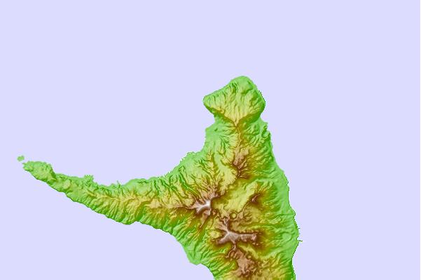
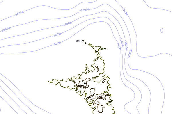
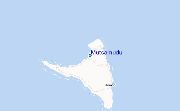
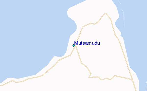
Use this relief map to navigate to tide stations, surf breaks and cities that are in the area of Mutsamudu.
Other Nearby Locations' tide tables and tide charts to Mutsamudu:
click location name for more details
 Surf breaks close to Mutsamudu:
|
||
|---|---|---|
| Closest surf break | Oyster Bay Beach - Coco Beach | 511 mi |
| Second closest surf break | Sea Cliff | 512 mi |
| Third closest surf break | Jam's Right | 514 mi |
| Fourth closest surf break | Nungwi Reefs | 565 mi |
| Fifth closest surf break | Mombasa Channel | 644 mi |

 Nearest
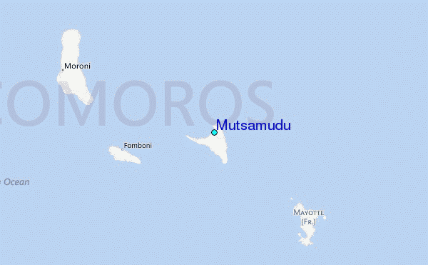