
| Distance / Altitude | Location | Report Date / Time | Live Weather | Wind | Gusts | Temp. | Visibility | Cloud |
|---|---|---|---|---|---|---|---|---|
| 132 km NE / 20 m | BRAVO SIARGAO (Philippines) | 2024-05-02 05:00 local (2024/05/01 21:00 GMT) | - | light winds from the W (6 km/h at 274) | 25°C | - | - - 0 | |
| 210 km S / 293 m | Davao/Francisco Bangoy International Airport (Philippines) | 2024-05-02 04:00 local (2024/05/01 20:00 GMT) | Dry and partly cloudy | calm (2 km/h at 1) | 26°C | 10.0 | few scattered broken | |
| 223 km WSW / 8 m | Dumaguete (Philippines) | 2024-05-02 05:00 local (2024/05/01 21:00 GMT) | - | calm (4 km/h at 270) | 25°C | 10.0 | few | |
| 234 km NNE / 214 m | Guiuan (Samar Island) (Philippines) | 2024-05-02 05:00 local (2024/05/01 21:00 GMT) | no report | light winds from the NE (14 km/h at 50) | 27°C | 16 | - | |
| 420 km NW / 210 m | Macatan Airport (Philippines) | 2024-05-02 04:00 local (2024/05/01 20:00 GMT) | - | light winds from the NW (7 km/h at 320) | 27°C | 10.0 | few |
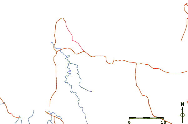
| Contours: | Roads & Rivers: | Select a
tide station / surf break / city |
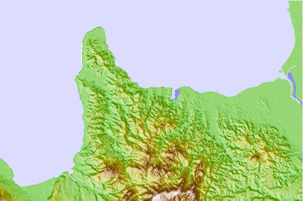
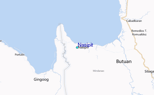
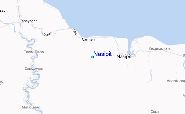
Use this relief map to navigate to tide stations, surf breaks and cities that are in the area of Nasipit.
Other Nearby Locations' tide tables and tide charts to Nasipit:
click location name for more details
 Surf breaks close to Nasipit:
|
||
|---|---|---|
| Closest surf break | Random Beach Break | 53 mi |
| Second closest surf break | Lanuza Rivermouth | 55 mi |
| Third closest surf break | Big Star | 58 mi |
| Fourth closest surf break | Ayoke - Tinago | 59 mi |
| Fifth closest surf break | Marami Beach | 60 mi |

 Nearest
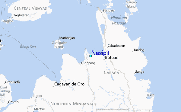