
| Distance / Altitude | Location | Report Date / Time | Live Weather | Wind | Gusts | Temp. | Visibility | Cloud |
|---|---|---|---|---|---|---|---|---|
| 9 km SE / 3 m | Perdido Key (Florida) | 2026-06-09 02:36 local (2026/06/09 07:36 GMT) | dry | light winds from the SE (10 km/h at 126) | 27°C | - | - - 0 | |
| 10 km S / 3 m | Gulf Beach Heights wx (United States) | 2026-06-09 01:05 local (2026/06/09 06:05 GMT) | dry | calm (2 km/h at 105) | 26°C | - | - - 0 | |
| 10 km S / 1 m | Pensacola (Florida) | 2026-06-09 02:38 local (2026/06/09 07:38 GMT) | dry | calm (0 km/h at 191) | 26°C | - | - - 0 | |
| 11 km ESE / 219 m | Pensacola Airport (Florida) | 2026-06-09 00:56 local (2026/06/09 05:56 GMT) | Clear | light winds from the SE (11 km/h at 130) | 26°C | 16 | ||
| 11 km S / 2 m | Perdido Key wx (United States) | 2026-06-09 02:42 local (2026/06/09 07:42 GMT) | dry | light winds from the SE (6 km/h at 143) | 27°C | - | - - 0 | |
| 12 km E / 9 m | Beach Haven wx (United States) | 2026-06-09 02:29 local (2026/06/09 07:29 GMT) | dry | calm (0 km/h at ) | 23°C | - | - - 0 | |
| 14 km SSW / 10 m | Gulf Shores (Alabama) | 2026-06-09 02:10 local (2026/06/09 07:10 GMT) | dry | calm (2 km/h at 155) | 26°C | - | - - 0 | |
| 18 km SSW / 3 m | BUOY-PPTA1 (Marine) | 2026-06-09 01:00 local (2026/06/09 06:00 GMT) | - (11 km/h at -) | — | - | |||
| 19 km SSW / 5 m | Orange Beach (Alabama) | 2026-06-09 02:13 local (2026/06/09 07:13 GMT) | dry | calm (2 km/h at 0) | 26°C | - | - - 0 | |
| 21 km SE / 7 m | Fort Pickens wx (United States) | 2026-06-09 02:22 local (2026/06/09 07:22 GMT) | dry | calm (3 km/h at 103) | 26°C | - | - - 0 |
| Contours: | Roads & Rivers: | Select a
tide station / surf break / city |
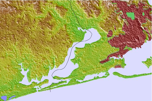
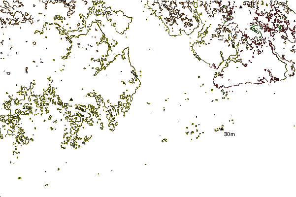
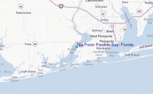
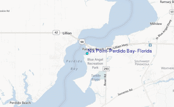
Use this relief map to navigate to tide stations, surf breaks and cities that are in the area of Nix Point, Perdido Bay, Florida.
Other Nearby Locations' tide tables and tide charts to Nix Point, Perdido Bay, Florida:
click location name for more details
 Surf breaks close to Nix Point, Perdido Bay, Florida:
|
||
|---|---|---|
| Closest surf break | The Point -Fort Pickens | 9 mi |
| Second closest surf break | Spuds | 11 mi |
| Third closest surf break | Alabama Point | 12 mi |
| Fourth closest surf break | Terry s Cove | 12 mi |
| Fifth closest surf break | Pensacola Beach Pier | 17 mi |


 Nearest
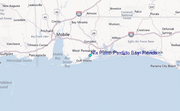