
| Distance / Altitude | Location | Report Date / Time | Live Weather | Wind | Gusts | Temp. | Visibility | Cloud |
|---|---|---|---|---|---|---|---|---|
| 94 km W / 8 m | Baker Lake (Canada) | 2024-04-25 20:00 local (2024/04/26 00:00 GMT) | Continuous light snow | light winds from the ESE (9 km/h at 110) | -12°C | 44 km | - overcast - | |
| 95 km W / 214 m | Baker Lake Airport (N.w. Territories) | 2024-04-25 20:00 local (2024/04/26 00:00 GMT) | Light snow | light winds from the ESE (11 km/h at 110) | -11°C | 24 | overcast | |
| 168 km SE / 217 m | Rankin Inlet Airport (N.w. Territories) | 2024-04-25 20:00 local (2024/04/26 00:00 GMT) | Shower light snow | light winds from the S (17 km/h at 170) | -12°C | 24 | overcast | |
| 169 km SE / 32 m | Rankin Inlet Airport (Canada) | 2024-04-25 20:00 local (2024/04/26 00:00 GMT) | Light snow showers | light winds from the SSE (15 km/h at 160) | -12°C | 44 km | overcast | |
| 308 km NE / 18 m | Wager Bay (Aut)- NU (Canada) | 2024-04-25 20:00 local (2024/04/26 00:00 GMT) | no report | light winds from the S (9 km/h at 190) | -13°C | - | - no observation - |
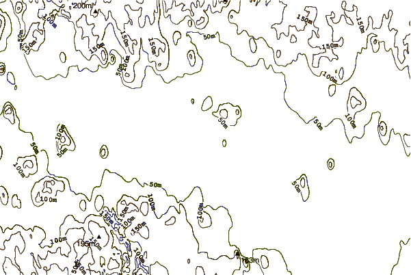
| Contours: | Roads & Rivers: | Select a
tide station / surf break / city |
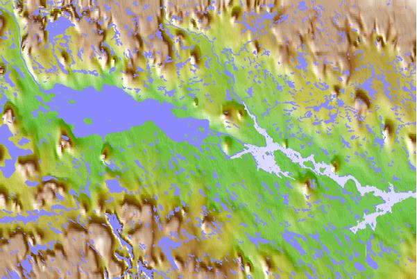
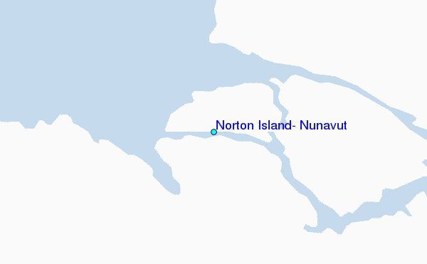
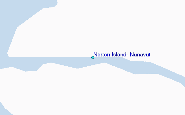
Use this relief map to navigate to tide stations, surf breaks and cities that are in the area of Norton Island, Nunavut.
Other Nearby Locations' tide tables and tide charts to Norton Island, Nunavut:
click location name for more details
 Surf breaks close to Norton Island, Nunavut:
|
||
|---|---|---|
| Closest surf break | Marathon | 1094 mi |
| Second closest surf break | Keweenaw Peninsula | 1166 mi |
| Third closest surf break | Apostle Islands | 1179 mi |
| Fourth closest surf break | Stoney Point | 1181 mi |
| Fifth closest surf break | Lester River | 1193 mi |

 Nearest
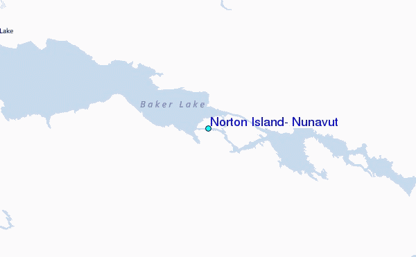