
| Distance / Altitude | Location | Report Date / Time | Live Weather | Wind | Gusts | Temp. | Visibility | Cloud |
|---|---|---|---|---|---|---|---|---|
| 12 km SE / 200 m | Fua Amotu Tonga Airport (Tonga) | 2024-04-27 05:35 local (2024/04/26 16:35 GMT) | - | calm (4 km/h at 1) | 26°C | 10.0 | few few | |
| 12 km SE / 41 m | Fuaamotu (Tonga) | 2024-04-27 04:00 local (2024/04/26 15:00 GMT) | no report | calm (4 km/h at 990) | 26°C | 20 | - few - | |
| 175 km NNE / 3 m | Haapai Lifuka (Tonga) | 2024-04-27 04:00 local (2024/04/26 15:00 GMT) | no report | - (- km/h at -) | 27°C | 20 | - | |
| 175 km NNE / 3 m | Ha'apai Lifuka Island (Tonga) | 2024-04-27 04:00 local (2024/04/26 15:00 GMT) | no report | - (- km/h at -) | 27°C | 20 | - | |
| 313 km NNE / 70 m | Lupepau u (Tonga) | 2024-04-27 04:00 local (2024/04/26 15:00 GMT) | State of sky unchanged | calm (0 km/h at 0) | 24°C | 20 km | - few - |
| Contours: | Roads & Rivers: | Select a
tide station / surf break / city |
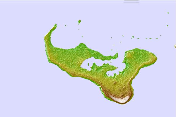
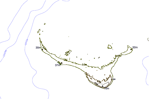
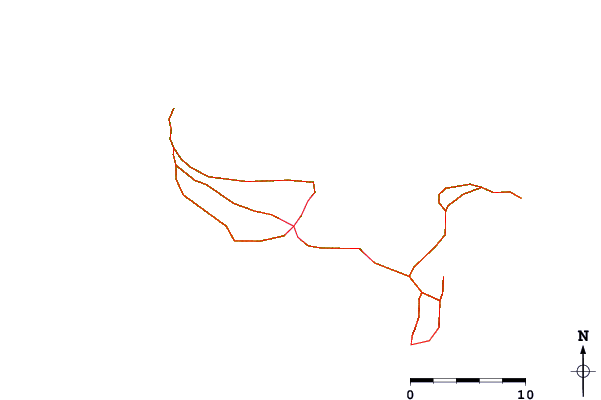
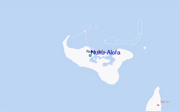
Use this relief map to navigate to tide stations, surf breaks and cities that are in the area of Nuku'Alofa.
Other Nearby Locations' tide tables and tide charts to Nuku'Alofa:
click location name for more details
 Surf breaks close to Nuku'Alofa:
|
||
|---|---|---|
| Closest surf break | Corners | 9 mi |
| Second closest surf break | Fishtraps | 9 mi |
| Third closest surf break | Lighthouse | 9 mi |
| Fourth closest surf break | Motels | 9 mi |
| Fifth closest surf break | The Bowl | 9 mi |

 Nearest
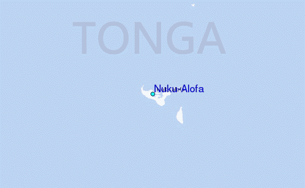