
| Distance / Altitude | Location | Report Date / Time | Live Weather | Wind | Gusts | Temp. | Visibility | Cloud |
|---|---|---|---|---|---|---|---|---|
| 11 km WSW / 197 m | Accra/Kotoka International Airport (Ghana) | 2025-12-26 12:00 local (2025/12/26 12:00 GMT) | Dry and partly cloudy | moderate winds from the SSW (22 km/h at 200) | 30°C | 10.0 | scattered few | |
| 50 km N / 90 m | Somanya USED (Ghana) | 2025-12-26 13:00 local (2025/12/26 13:00 GMT) | - | wind obs. (6 kph from 176 degs) was rejected (- km/h at -) | 31°C | - | - - 0 | |
| 50 km W / 74 m | Adeiso-Ndoda (Ghana) | 2025-12-26 13:00 local (2025/12/26 13:00 GMT) | - | light winds from the SW (9 km/h at 228) | 29°C | - | - - 0 | |
| 159 km ENE / 25 m | Lome (Togo) | 2025-12-26 13:00 local (2025/12/26 13:00 GMT) | no report | wind obs. (11 kph from 240 degs) was rejected (- km/h at -) | 30°C | 10 | - | |
| 159 km ENE / 213 m | Lome/Tokoin Airport (Togo) | 2025-12-26 12:00 local (2025/12/26 12:00 GMT) | - | moderate winds from the SSW.(Wind varies from 170 to 240 degs) (20 km/h at 200) | 32°C | 10.0 | few few | |
| 166 km NNE / 641 m | Kouma -Konda (Togo) | 2025-12-26 12:00 local (2025/12/26 12:00 GMT) | fog, sky visible, thinning | - (- km/h at -) | 22°C | 700 | - | |
| 204 km ENE / 32 m | Tabligbo (Togo) | 2025-12-26 12:00 local (2025/12/26 12:00 GMT) | no report | - (- km/h at -) | 26°C | 10 | - | |
| 205 km SW / 9 m | Takoradi (afb) (Ghana) | 2025-12-26 11:00 local (2025/12/26 11:00 GMT) | Dry and partly cloudy | light winds from the SW (19 km/h at 230) | 31°C | 10.0 | scattered | |
| 210 km WNW / 293 m | Kumasi (Ghana) | 2025-12-26 12:00 local (2025/12/26 12:00 GMT) | Dry and partly cloudy | calm (0 km/h at 0) | 30°C | 10.0 | broken | |
| 281 km ENE / 213 m | Cotonou/Cadjehoun Airport (Benin) | 2025-12-26 12:00 local (2025/12/26 12:00 GMT) | Dry and partly cloudy | moderate winds from the SW (20 km/h at 230) | 32°C | 10.0 | scattered |
| Contours: | Roads & Rivers: | Select a
tide station / surf break / city |
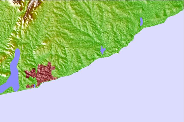
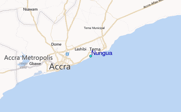
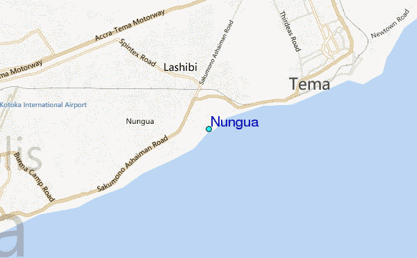
Use this relief map to navigate to tide stations, surf breaks and cities that are in the area of Nungua.
Other Nearby Locations' tide tables and tide charts to Nungua:
click location name for more details
 Surf breaks close to Nungua:
|
||
|---|---|---|
| Closest surf break | Labadi Beach | 7 mi |
| Second closest surf break | Prampram (Greater Accra) | 15 mi |
| Third closest surf break | Kokrobite | 19 mi |
| Fourth closest surf break | New Ningo Reef | 19 mi |
| Fifth closest surf break | Nyanyanu | 25 mi |


 Nearest
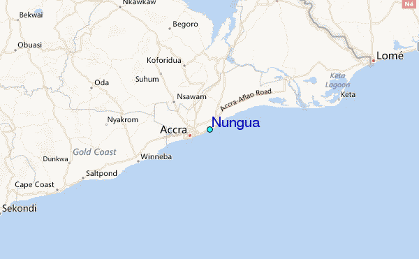