
| Distance / Altitude | Location | Report Date / Time | Live Weather | Wind | Gusts | Temp. | Visibility | Cloud |
|---|---|---|---|---|---|---|---|---|
| 23 km N / 213 m | Dillingham Airport (Alaska) | 2025-12-24 21:56 local (2025/12/25 06:56 GMT) | Dry and cloudy | light winds from the N (13 km/h at 360) | -8°C | 16 | broken overcast | |
| 32 km W / 16 m | Manokotak Airport (Alaska) | 2025-12-24 22:09 local (2025/12/25 07:09 GMT) | Dry and cloudy | light winds from the NNE (9 km/h at 20) | -7°C | 16 | overcast | |
| 95 km NE / 92 m | New Stuyahok Airport (Alaska) | 2025-12-24 21:56 local (2025/12/25 06:56 GMT) | - | light winds from the N (17 km/h at 360) | -8°C | 16 | few | |
| 105 km W / 3 m | BUOY-TGXA2 (Marine) | 2025-12-24 23:02 local (2025/12/25 08:02 GMT) | light winds from the N (9 km/h at 10) | -7°C | - | |||
| 108 km W / 194 m | Togiak Airport (Alaska) | 2025-12-24 21:56 local (2025/12/25 06:56 GMT) | Clear | light winds from the NNW (7 km/h at 340) | -8°C | 16 | ||
| 112 km E / 211 m | King Salmon Airport (Alaska) | 2025-12-24 21:54 local (2025/12/25 06:54 GMT) | Dry and cloudy | light winds from the N (17 km/h at 360) | -9°C | 16 | overcast | |
| 123 km NE / 82 m | Koliganek Airport (Alaska) | 2025-12-24 21:56 local (2025/12/25 06:56 GMT) | Clear | light winds from the N (13 km/h at 360) | -10°C | 11 | ||
| 152 km SSE / 18 m | Pilot Point (Alaska) | 2025-12-24 22:41 local (2025/12/25 07:41 GMT) | - | light winds from the NNE (11 km/h at 20) | -4°C | 0.0 | broken | |
| 161 km ENE / 28 m | Igiugig Airport (Alaska) | 2025-12-24 21:56 local (2025/12/25 06:56 GMT) | Clear | wind obs. (7 kph from 240 degs) was rejected (- km/h at -) | -9°C | 16 | ||
| 189 km WSW / 182 m | Platinum (AK) Airport (United States) | 2025-12-24 21:56 local (2025/12/25 06:56 GMT) | Clear | light winds from the N (15 km/h at 360) | -6°C | 14 |
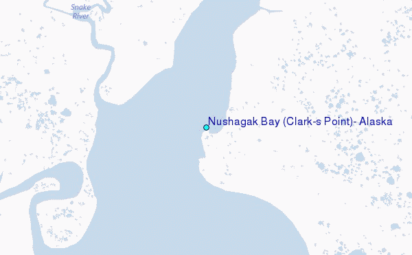
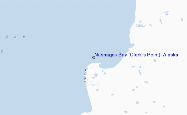
Choose Nushagak Bay (Clark's Point), Alaska Location Map Zoom:
| Contours: | Roads & Rivers: | Select a
tide station / surf break / city |
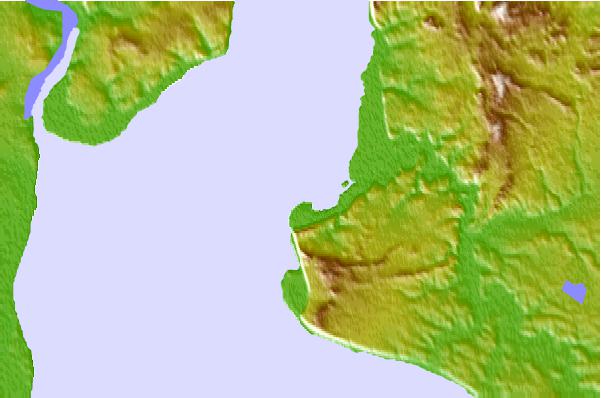
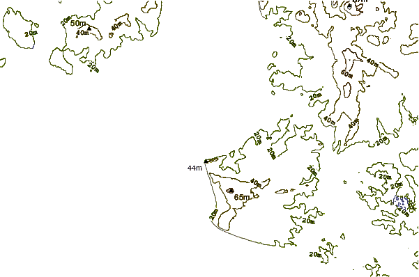
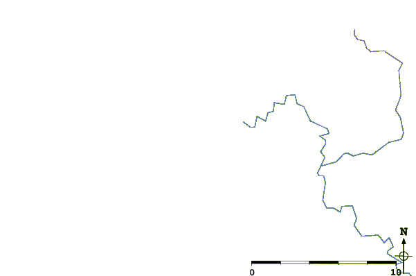
Use this relief map to navigate to tide stations, surf breaks and cities that are in the area of Nushagak Bay (Clark's Point), Alaska.
Other Nearby Locations' tide tables and tide charts to Nushagak Bay (Clark's Point), Alaska:
click location name for more details
 Surf breaks close to Nushagak Bay (Clark's Point), Alaska:
|
||
|---|---|---|
| Closest surf break | Monashka Bay | 233 mi |
| Second closest surf break | Termination Point | 233 mi |
| Third closest surf break | Mill Bay | 236 mi |
| Fourth closest surf break | Fossil Beach Kodiak | 247 mi |
| Fifth closest surf break | Bird Point (Tidal Bore) | 280 mi |


 Nearest
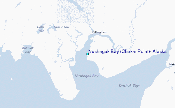