
| Distance / Altitude | Location | Report Date / Time | Live Weather | Wind | Gusts | Temp. | Visibility | Cloud |
|---|---|---|---|---|---|---|---|---|
| 507 km SSW / 1 m | Mogadishu Airport (Somalia) | 2026-06-09 17:00 local (2026/06/09 14:00 GMT) | Dry and partly cloudy | moderate winds from the SW (26 km/h at 220) | 28°C | 10.0 | few broken | |
| 548 km WSW / 295 m | Gode (Ethiopia) | 2026-06-09 18:00 local (2026/06/09 15:00 GMT) | - | moderate winds from the WSW (22 km/h at 250) | 34°C | 50 km | scattered | |
| 557 km W / 728 m | Gabagaba wx (Ethiopia) | 2026-06-09 18:50 local (2026/06/09 15:50 GMT) | - | calm (2 km/h at 130) | — | - | - - 0 | |
| 660 km N / 21 m | Bosaso Airport (Somalia) | 2026-06-09 17:00 local (2026/06/09 14:00 GMT) | - | light winds from the N (19 km/h at 360) | — | 0.0 | ||
| 872 km W / 1260 m | Diredawa (Ethiopia) | 2026-06-09 18:00 local (2026/06/09 15:00 GMT) | - | moderate winds from the E (22 km/h at 100) | 31°C | 50 km | scattered | |
| 897 km NW / 184 m | Aden International Airport (Yemen) | 2026-06-09 18:00 local (2026/06/09 15:00 GMT) | - | light winds from the ENE (17 km/h at 60) | 34°C | 10.0 | few | |
| 961 km W / 2480 m | RobeBale (Ethiopia) | 2026-06-09 18:00 local (2026/06/09 15:00 GMT) | - | calm (0 km/h at 0) | 18°C | 50 km | scattered | |
| 990 km WSW / 1544 m | Neghelle (Ethiopia) | 2026-06-09 18:00 local (2026/06/09 15:00 GMT) | - | wind obs. (11 kph from 110 degs) was rejected (- km/h at -) | 24°C | 50 km | mostly cloudy | |
| 1017 km SW / 244 m | Wajir Airport (Kenya) | 2026-06-09 17:00 local (2026/06/09 14:00 GMT) | Dry and partly cloudy | light winds from the SSE (17 km/h at 160) | 33°C | 10.0 | scattered | |
| 1036 km N / 1124 m | Ataq Airport (Yemen) | 2026-06-09 17:00 local (2026/06/09 14:00 GMT) | - | light winds from the SSE (15 km/h at 150) | 36°C | 10.0 | few |
| Contours: | Roads & Rivers: | Select a
tide station / surf break / city |
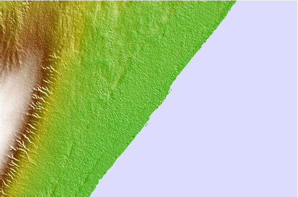
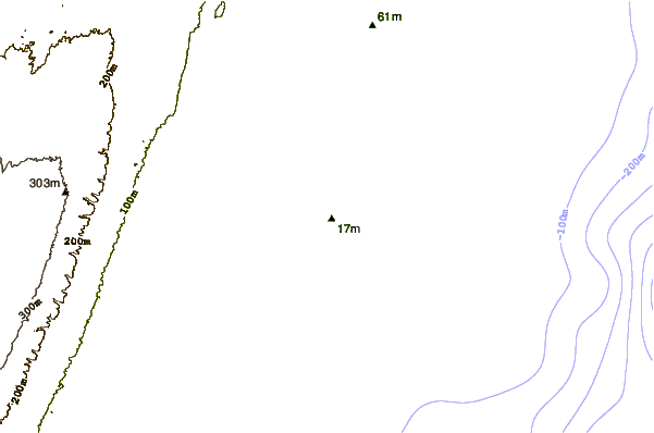
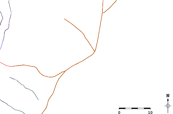
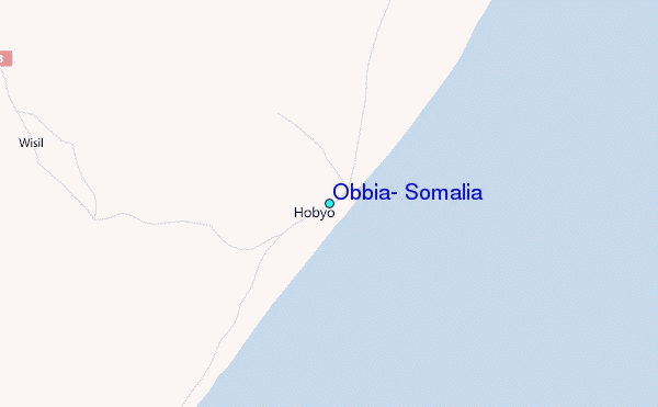
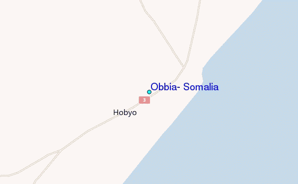
Use this relief map to navigate to tide stations, surf breaks and cities that are in the area of Obbia, Somalia.
Other Nearby Locations' tide tables and tide charts to Obbia, Somalia:
click location name for more details
 Surf breaks close to Obbia, Somalia:
|
||
|---|---|---|
| Closest surf break | Pirights | 405 mi |
| Second closest surf break | Qulansiyah | 614 mi |
| Third closest surf break | Denis Island - South Point | 803 mi |
| Fourth closest surf break | Malindi Bay | 826 mi |
| Fifth closest surf break | Anse Georgette | 830 mi |


 Nearest
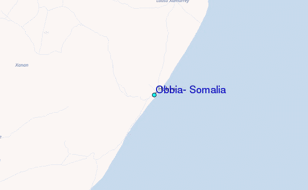