
| Distance / Altitude | Location | Report Date / Time | Live Weather | Wind | Gusts | Temp. | Visibility | Cloud |
|---|---|---|---|---|---|---|---|---|
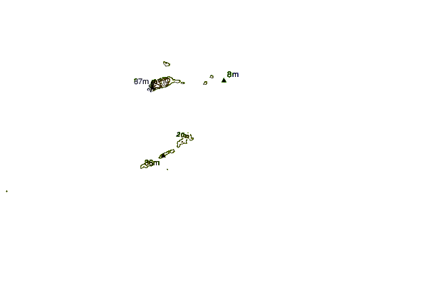
| 28 km SSW / 8 m | Iles DE LA Madeleine- Que (Canada) | 2024-04-26 04:00 local (2024/04/26 07:00 GMT) | no report | moderate winds from the WNW (22 km/h at 300) | 1°C | - | - - - | |
| 30 km SW / 194 m | Iles de la madel Airport (Quebec) | 2024-04-26 04:00 local (2024/04/26 07:00 GMT) | - | moderate winds from the WNW (22 km/h at 300) | 1°C | 0.0 | ||
| 96 km SSE / 42 m | Pleasant Bay (Canada) | 2024-04-26 05:31 local (2024/04/26 08:31 GMT) | - | calm (2 km/h at 296) | -1°C | - | - - 0 | |
| 98 km SE / 10 m | Bay St. Lawrence (Canada) | 2024-04-26 05:03 local (2024/04/26 08:03 GMT) | - | light winds from the W (18 km/h at 277) | 1°C | - | - - 0 | |
| 103 km SE / 439 m | North Mountain Cs- NS (Canada) | 2024-04-26 03:00 local (2024/04/26 06:00 GMT) | no report | moderate winds from the WNW (22 km/h at 290) | -3°C | - | - |
| Contours: | Roads & Rivers: | Select a
tide station / surf break / city |
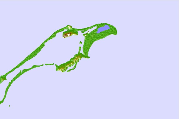
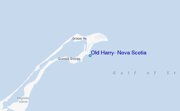
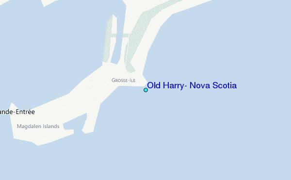
Use this relief map to navigate to tide stations, surf breaks and cities that are in the area of Old Harry, Nova Scotia.
Other Nearby Locations' tide tables and tide charts to Old Harry, Nova Scotia:
click location name for more details
 Surf breaks close to Old Harry, Nova Scotia:
|
||
|---|---|---|
| Closest surf break | Ingonish Beach | 82 mi |
| Second closest surf break | Kennington Cove | 135 mi |
| Third closest surf break | Michaud Point | 143 mi |
| Fourth closest surf break | Martinique | 215 mi |
| Fifth closest surf break | Lawrencetown Left Point | 221 mi |

 Nearest
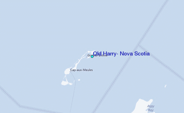