
| Distance / Altitude | Location | Report Date / Time | Live Weather | Wind | Gusts | Temp. | Visibility | Cloud |
|---|---|---|---|---|---|---|---|---|
| 67 km NE / 15 m | hy2b0E61N (Marine) | 2026-06-09 09:26 local (2026/06/09 08:26 GMT) | light winds from the N (9 km/h at 355) | — | - km | |||
| 68 km S / 216 m | Sumburgh Airport (United Kingdom) | 2026-06-09 10:20 local (2026/06/09 09:20 GMT) | - | light winds from the ESE (11 km/h at 110) | 13°C | 10.0 | few | |
| 93 km NNE / 15 m | hy2b360E61N (Marine) | 2026-06-09 09:26 local (2026/06/09 08:26 GMT) | light winds from the N (6 km/h at 355) | — | - km | |||
| 102 km NW / 15 m | hy2b359E61N (Marine) | 2026-06-09 09:26 local (2026/06/09 08:26 GMT) | light winds from the SE (6 km/h at 138) | — | - km | |||
| 104 km W / 15 m | hy2b358E61N (Marine) | 2026-06-09 09:26 local (2026/06/09 08:26 GMT) | moderate winds from the SSE (21 km/h at 155) | — | - km | |||
| 106 km W / 3 m | Clair (Marine) | 2026-06-09 11:00 local (2026/06/09 10:00 GMT) | - (- km/h at -) | — | - | |||
| 115 km NE / 15 m | hy2b1E61N (Marine) | 2026-06-09 09:26 local (2026/06/09 08:26 GMT) | light winds from the NNW (17 km/h at 348) | — | - km | |||
| 122 km NE / 3 m | Cormorant A Buoy (Marine) | 2026-06-09 11:00 local (2026/06/09 10:00 GMT) | - (- km/h at -) | — | - | |||
| 122 km NE / 3 m | Shetland Buoy (Marine) | 2026-06-09 11:00 local (2026/06/09 10:00 GMT) | moderate winds from the N (21 km/h at 350) | 11°C | 50.0 | |||
| 125 km N / 15 m | hy2b360E62N (Marine) | 2026-06-09 09:26 local (2026/06/09 08:26 GMT) | calm (5 km/h at 358) | — | - km |
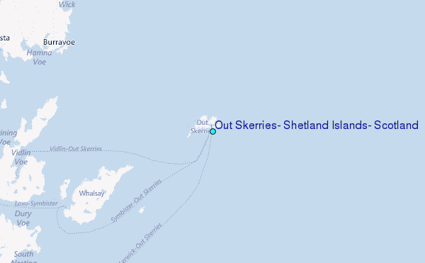
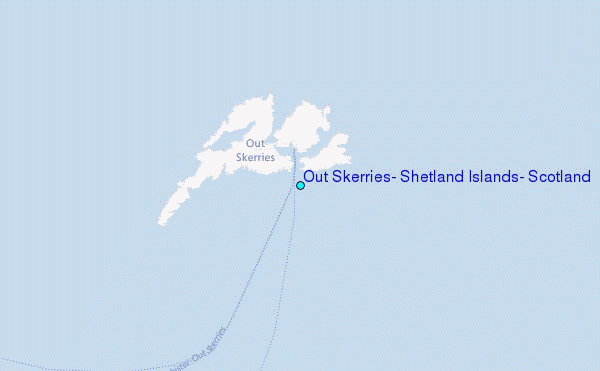
Choose Out Skerries, Shetland Islands, Scotland Location Map Zoom:
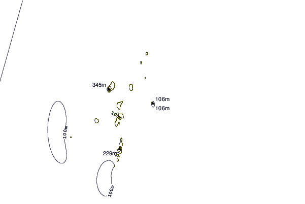
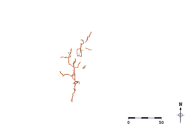
| Contours: | Roads & Rivers: | Select a
tide station / surf break / city |
Use this relief map to navigate to tide stations, surf breaks and cities that are in the area of Out Skerries, Shetland Islands, Scotland.
Other Nearby Locations' tide tables and tide charts to Out Skerries, Shetland Islands, Scotland:
click location name for more details
 Surf breaks close to Out Skerries, Shetland Islands, Scotland:
|
||
|---|---|---|
| Closest surf break | Mill Bay | 110 mi |
| Second closest surf break | Saviskaill Bay | 116 mi |
| Third closest surf break | Birsay Bay | 126 mi |
| Fourth closest surf break | Bay of Skaill | 131 mi |
| Fifth closest surf break | Grim Ness | 133 mi |


 Nearest
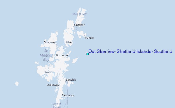