
| Distance / Altitude | Location | Report Date / Time | Live Weather | Wind | Gusts | Temp. | Visibility | Cloud |
|---|---|---|---|---|---|---|---|---|
| 0 km SSW / 3 m | BUOY-PACT2 (Marine) | 2024-04-25 21:18 local (2024/04/26 02:18 GMT) | moderate winds from the ESE (24 km/h at 110) | 25°C | - | |||
| 5 km S / 12 m | Flour Bluff wx (United States) | 2024-04-25 21:10 local (2024/04/26 02:10 GMT) | dry | light winds from the ESE (19 km/h at 122) | 24°C | - | - - 0 | |
| 6 km NW / 218 m | Corpus Christi Naval Air Station Airport (Texas) | 2024-04-25 20:35 local (2024/04/26 01:35 GMT) | Dry and cloudy | fresh winds from the SSE (35 km/h at 150) | 27°C | 14 | few broken overcast | |
| 15 km WSW / 33 m | Corpus Christi (Texas) | 2024-04-25 21:06 local (2024/04/26 02:06 GMT) | dry | - (- km/h at ) | — | - | - - 0 | |
| 16 km WNW / 3 m | Gardendale wx (United States) | 2024-04-25 21:34 local (2024/04/26 02:34 GMT) | dry | light winds from the S (13 km/h at 180) | 26°C | - | - - 0 |
| Contours: | Roads & Rivers: | Select a
tide station / surf break / city |
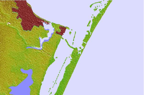

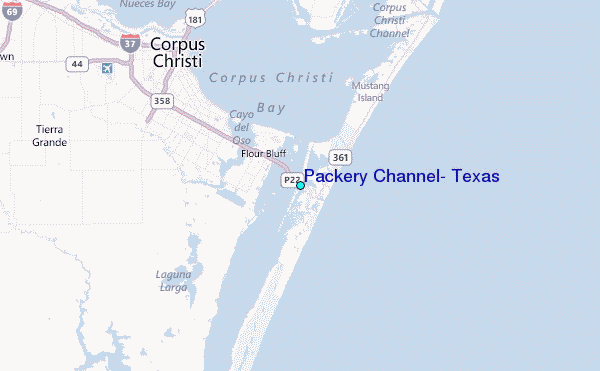
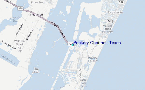
Use this relief map to navigate to tide stations, surf breaks and cities that are in the area of Packery Channel, Texas.
Other Nearby Locations' tide tables and tide charts to Packery Channel, Texas:
click location name for more details
 Surf breaks close to Packery Channel, Texas:
|
||
|---|---|---|
| Closest surf break | Bob Hall Pier | 2 mi |
| Second closest surf break | Corpus Christi | 2 mi |
| Third closest surf break | Packery Channel | 2 mi |
| Fourth closest surf break | JP Luby Pier | 5 mi |
| Fifth closest surf break | Condos | 6 mi |

 Nearest
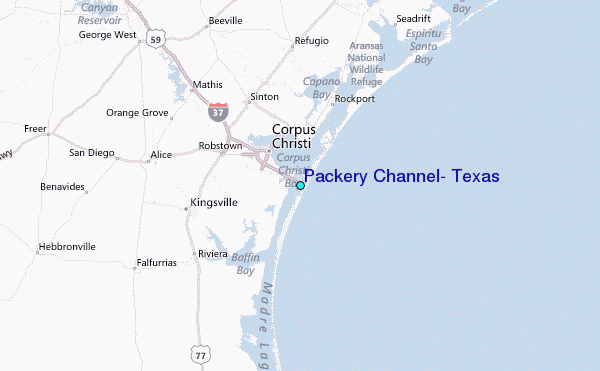