
| Distance / Altitude | Location | Report Date / Time | Live Weather | Wind | Gusts | Temp. | Visibility | Cloud |
|---|---|---|---|---|---|---|---|---|
| 124 km ESE / 700 m | Tacna/Coronel FAP Carlos Ciriani Santa Rosa International Airport (Peru) | 2024-04-25 22:00 local (2024/04/26 03:00 GMT) | Dry and cloudy | light winds from the SSW (9 km/h at 200) | 18°C | 10.0 | overcast | |
| 124 km ESE / 469 m | Tacna (Peru) | 2024-04-25 22:00 local (2024/04/26 03:00 GMT) | State of sky unchanged | light winds from the SSW (9 km/h at 200) | 18°C | 30 km | overcast | |
| 135 km SE / 211 m | Arica/Chacalluta Airport (Chile) | 2024-04-25 22:00 local (2024/04/26 03:00 GMT) | Dry and cloudy | light winds from the SSE (6 km/h at 150) | 20°C | 10.0 | overcast | |
| 136 km SE / 52 m | Arica (Chile) | 2024-04-25 22:00 local (2024/04/26 03:00 GMT) | State of sky unchanged | light winds from the SSE (6 km/h at 150) | 20°C | 50 km | overcast | |
| 141 km N / 2539 m | Arequipa/Rodriguez Ballon Airport (Peru) | 2024-04-25 22:00 local (2024/04/26 03:00 GMT) | State of sky unchanged | light winds from the N (6 km/h at 360) | 15°C | 30 km | - clear - |
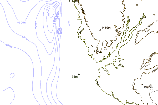
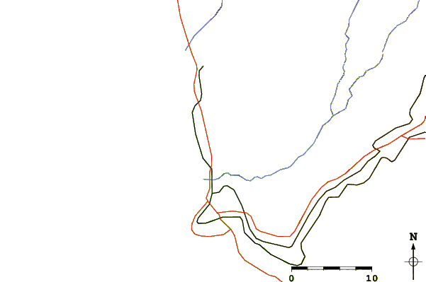
| Contours: | Roads & Rivers: | Select a
tide station / surf break / city |
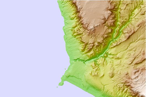
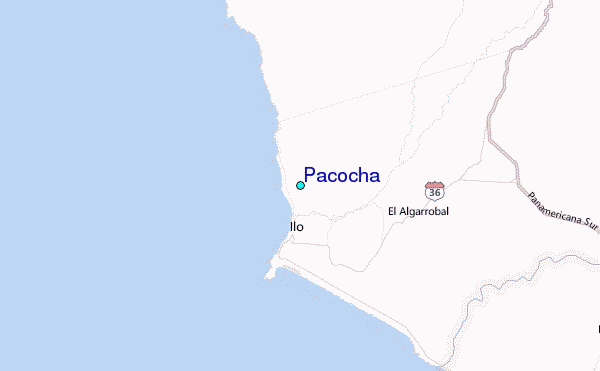
Use this relief map to navigate to tide stations, surf breaks and cities that are in the area of Pacocha.
Other Nearby Locations' tide tables and tide charts to Pacocha:
click location name for more details
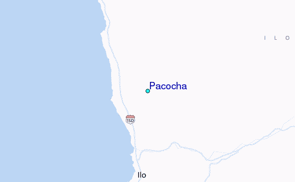
 Surf breaks close to Pacocha:
|
||
|---|---|---|
| Closest surf break | El Olon de Ilo | 2 mi |
| Second closest surf break | Piedras Negras | 3 mi |
| Third closest surf break | Punta Bombon | 37 mi |
| Fourth closest surf break | Caleta Sama | 41 mi |
| Fifth closest surf break | Caleta Mejia | 50 mi |

 Nearest
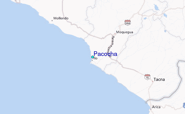