
| Distance / Altitude | Location | Report Date / Time | Live Weather | Wind | Gusts | Temp. | Visibility | Cloud |
|---|---|---|---|---|---|---|---|---|
| 539 km S / 15 m | ASCATB198E1N (Marine) | 2026-06-08 21:20 local (2026/06/09 07:20 GMT) | moderate winds from the E (21 km/h at 98) | — | - km | |||
| 539 km SSE / 15 m | ASCATB199E1N (Marine) | 2026-06-08 21:20 local (2026/06/09 07:20 GMT) | light winds from the ESE (19 km/h at 110) | — | - km | |||
| 562 km SSE / 15 m | ASCATB200E1N (Marine) | 2026-06-08 21:20 local (2026/06/09 07:20 GMT) | light winds from the E (18 km/h at 95) | — | - km | |||
| 563 km S / 15 m | ASCATB197E1N (Marine) | 2026-06-08 21:20 local (2026/06/09 07:20 GMT) | light winds from the E (18 km/h at 95) | — | - km | |||
| 598 km SSE / 15 m | ASCATB201E1N (Marine) | 2026-06-08 21:20 local (2026/06/09 07:20 GMT) | light winds from the ESE (17 km/h at 110) | — | - km | |||
| 598 km S / 15 m | ASCATB198E0N (Marine) | 2026-06-08 21:20 local (2026/06/09 07:20 GMT) | moderate winds from the ESE (20 km/h at 104) | — | - km | |||
| 602 km S / 15 m | ASCATB199E0N (Marine) | 2026-06-08 21:20 local (2026/06/09 07:20 GMT) | moderate winds from the ESE (22 km/h at 103) | — | - km | |||
| 612 km S / 15 m | ASCATB197E0N (Marine) | 2026-06-08 21:20 local (2026/06/09 07:20 GMT) | light winds from the ESE (18 km/h at 107) | — | - km | |||
| 612 km S / 15 m | ASCATB196E1N (Marine) | 2026-06-08 21:20 local (2026/06/09 07:20 GMT) | light winds from the E (14 km/h at 100) | — | - km | |||
| 627 km SSE / 15 m | ASCATB200E0N (Marine) | 2026-06-08 21:20 local (2026/06/09 07:20 GMT) | light winds from the E (19 km/h at 86) | — | - km |
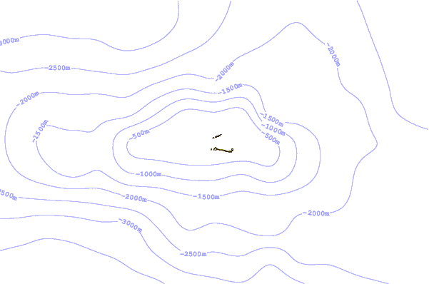
| Contours: | Roads & Rivers: | Select a
tide station / surf break / city |
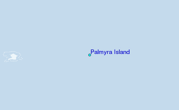
Use this relief map to navigate to tide stations, surf breaks and cities that are in the area of Palmyra Island.
Other Nearby Locations' tide tables and tide charts to Palmyra Island:
click location name for more details
 Surf breaks close to Palmyra Island:
|
||
|---|---|---|
| Closest surf break | English Channel Left (Fanning Island) | 233 mi |
| Second closest surf break | Kahuku Ranch | 1000 mi |
| Third closest surf break | Kaalualu Point | 1001 mi |
| Fourth closest surf break | The Point_Punaluu | 1006 mi |
| Fifth closest surf break | Punaluu | 1006 mi |


 Nearest
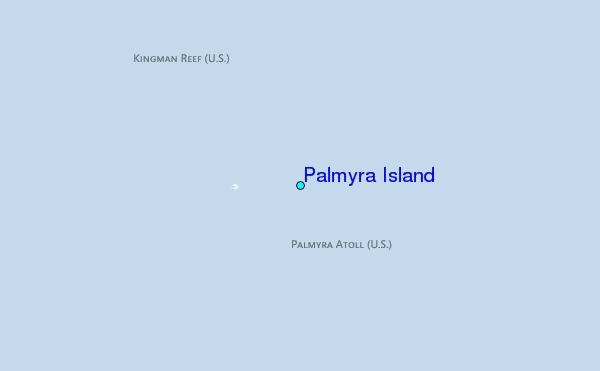