
| Distance / Altitude | Location | Report Date / Time | Live Weather | Wind | Gusts | Temp. | Visibility | Cloud |
|---|---|---|---|---|---|---|---|---|
| 21 km WSW / 15 m | SHIP8168 (Marine) | 2025-12-18 01:00 local (2025/12/17 17:00 GMT) | light winds from the NW (11.16 km/h at 320) | 29°C | - km | |||
| 27 km WSW / 293 m | Davao/Francisco Bangoy International Airport (Philippines) | 2025-12-18 02:00 local (2025/12/17 18:00 GMT) | Dry and partly cloudy | calm (4 km/h at 20) | 25°C | 10.0 | few broken | |
| 21 km WSW / - m | SHIP196 (ocean) | 2025-12-18 02:00 local (2025/12/17 18:00 GMT) | No report | light winds from the NNW (17 km/h at 330) | 26°C | - | no observation | |
| 21 km WSW / 15 m | SHIP9188 (Marine) | 2025-12-18 01:00 local (2025/12/17 17:00 GMT) | light winds from the NW (11.16 km/h at 320) | 29°C | - km | |||
| 21 km WSW / - m | SHIP200 (ocean) | 2025-12-18 02:00 local (2025/12/17 18:00 GMT) | No report | light winds from the NNW (9 km/h at 330) | 26°C | - | no observation | |
| 21 km WSW / 15 m | SHIP2884 (Marine) | 2025-12-18 01:00 local (2025/12/17 17:00 GMT) | light winds from the NW (11.16 km/h at 320) | 29°C | - km | |||
| 21 km WSW / 15 m | SHIP3481 (Marine) | 2025-12-18 02:00 local (2025/12/17 18:00 GMT) | light winds from the NNW (9.360000000000001 km/h at 330) | 29°C | - km | |||
| 21 km WSW / - m | SHIP838 (ocean) | 2025-12-18 03:00 local (2025/12/17 19:00 GMT) | No report | light winds from the NW (19 km/h at 320) | 26°C | - | no observation | |
| 21 km WSW / 15 m | SHIP7132 (Marine) | 2025-12-18 01:00 local (2025/12/17 17:00 GMT) | light winds from the NNW (18.36 km/h at 340) | 29°C | - km | |||
| 21 km WSW / 15 m | SHIP7380 (Marine) | 2025-12-18 02:00 local (2025/12/17 18:00 GMT) | light winds from the NNW (9.360000000000001 km/h at 330) | 29°C | - km |
| Contours: | Roads & Rivers: | Select a
tide station / surf break / city |
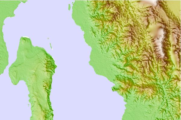
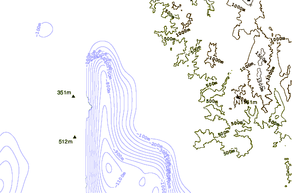
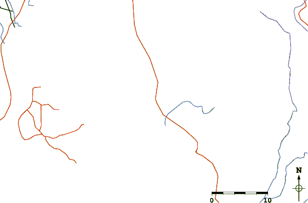
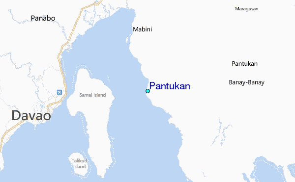
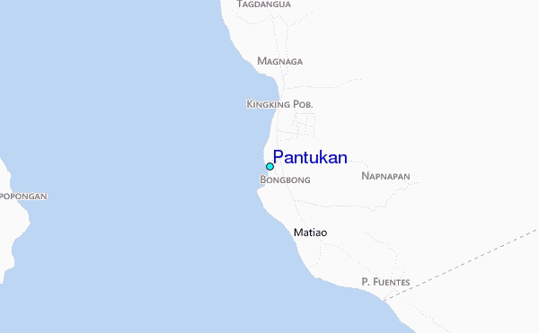
Use this relief map to navigate to tide stations, surf breaks and cities that are in the area of Pantukan.
Other Nearby Locations' tide tables and tide charts to Pantukan:
click location name for more details
 Surf breaks close to Pantukan:
|
||
|---|---|---|
| Closest surf break | Tago River | 132 mi |
| Second closest surf break | Marami Beach | 137 mi |
| Third closest surf break | Lanuza Rivermouth | 146 mi |
| Fourth closest surf break | Big Star | 147 mi |
| Fifth closest surf break | Moshi-Moshi | 148 mi |


 Nearest
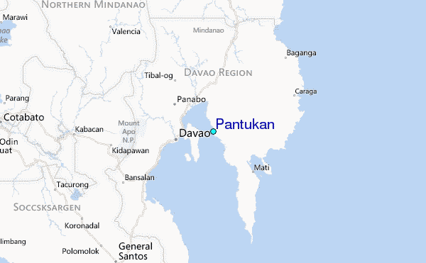