
| Distance / Altitude | Location | Report Date / Time | Live Weather | Wind | Gusts | Temp. | Visibility | Cloud |
|---|---|---|---|---|---|---|---|---|
| 26 km SE / 5 m | Minangkabau Airport (Indonesia) | 2025-12-25 16:30 local (2025/12/25 09:30 GMT) | Light rain | calm (4 km/h at 1) | 24°C | 6.0 | broken | |
| 27 km SE / 3 m | MiaPadang (Indonesia) | 2025-12-25 16:00 local (2025/12/25 09:00 GMT) | Intermittent moderate rain | light winds from the E (11 km/h at 80) | 25°C | 26 km | - overcast - | |
| 191 km NE / 90 m | Pakanbaru/Simpan Airport (Indonesia) | 2025-12-25 16:30 local (2025/12/25 09:30 GMT) | Dry and partly cloudy | light winds from the NW (15 km/h at 320) | 33°C | 10.0 | scattered | |
| 248 km E / 46 m | RengatJapura (Indonesia) | 2025-12-25 16:00 local (2025/12/25 09:00 GMT) | - | light winds from the N (6 km/h at 350) | 33°C | 28 km | - scattered - | |
| 278 km NW / 3 m | SibolgaPinangsori (Indonesia) | 2025-12-25 16:00 local (2025/12/25 09:00 GMT) | Thunderstorm in past hour, currently only light rain | calm (0 km/h at 0) | 25°C | 2.0 km | - mostly cloudy - | |
| 397 km NE / 129 m | Malacca (Malaysia) | 2025-12-25 17:00 local (2025/12/25 10:00 GMT) | Thunderstorm - | light winds from the W.(Wind varies from 190 to 340 degs) (9 km/h at 270) | 31°C | 9.0 | few scattered - | |
| 409 km ESE / 25 m | JambiSultanTaha (Indonesia) | 2025-12-25 16:00 local (2025/12/25 09:00 GMT) | Thunderstorm but no precipitation falling at station | light winds from the SSE (9 km/h at 150) | 32°C | 30 km | - mostly cloudy - | |
| 409 km NNE / 17 m | Kuala Lumpur International Airport (Klia) (Malaysia) | 2025-12-25 17:00 local (2025/12/25 10:00 GMT) | haze | light winds from the W (6 km/h at 260) | 32°C | 10 | - | |
| 422 km ENE / 15 m | SHIP4080 (Marine) | 2025-12-25 16:00 local (2025/12/25 09:00 GMT) | - (- km/h at -) | — | - km | |||
| 422 km ENE / 15 m | SHIP5981 (Marine) | 2025-12-25 16:00 local (2025/12/25 09:00 GMT) | - (- km/h at -) | — | - km |
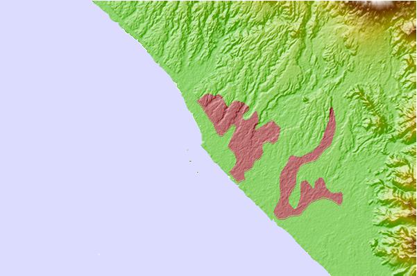
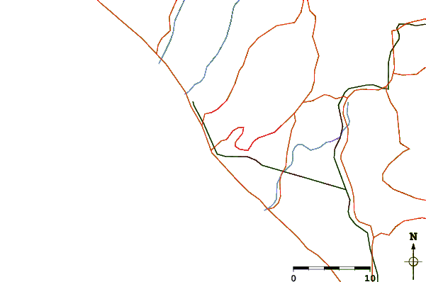
| Contours: | Roads & Rivers: | Select a
tide station / surf break / city |
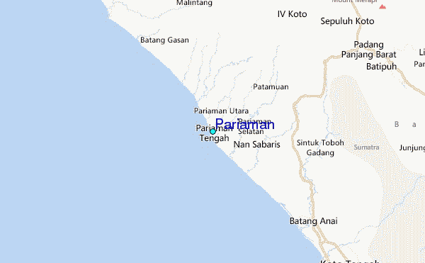
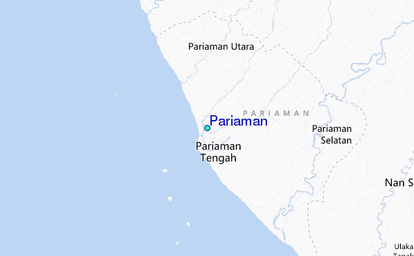
Use this relief map to navigate to tide stations, surf breaks and cities that are in the area of Pariaman.
Other Nearby Locations' tide tables and tide charts to Pariaman:
click location name for more details
 Surf breaks close to Pariaman:
|
||
|---|---|---|
| Closest surf break | Pantai Air Manis | 31 mi |
| Second closest surf break | Beng Beng | 101 mi |
| Third closest surf break | Hideaways (Mentawi Islands) | 102 mi |
| Fourth closest surf break | E-Bay | 103 mi |
| Fifth closest surf break | Pitstops | 103 mi |


 Nearest
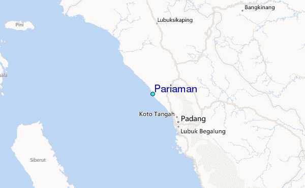