
| Distance / Altitude | Location | Report Date / Time | Live Weather | Wind | Gusts | Temp. | Visibility | Cloud |
|---|---|---|---|---|---|---|---|---|
| 45 km SSE / 184 m | Georgetown Airport (Guiana) | 2026-06-09 04:00 local (2026/06/09 08:00 GMT) | - | calm (4 km/h at 1) | 23°C | 10.0 | few | |
| 501 km W / 113 m | Ciudad Guayana (Venezuela) | 2026-06-09 05:07 local (2026/06/09 09:07 GMT) | dry | calm (0 km/h at 59) | 24°C | - | - - 0 | |
| 511 km S / 140 m | Boa Vista Airport (Brazil) | 2026-06-09 04:00 local (2026/06/09 08:00 GMT) | Dry and partly cloudy | wind obs. (9 kph from 140 degs) was rejected (- km/h at -) | 26°C | 10.0 | few few scattered | |
| 513 km S / 140 m | Boa Vista (Aero) (Brazil) | 2026-06-09 05:00 local (2026/06/09 09:00 GMT) | no report | calm (4 km/h at 80) | 26°C | 20 | - | |
| 523 km WNW / 216 m | Piarco International Airport (Trinidad Tobago) | 2026-06-09 04:00 local (2026/06/09 08:00 GMT) | Shower - in the vicinity | calm (0 km/h at 0) | 25°C | 10.0 | few | |
| 526 km WNW / 15 m | PiarcoInt.Airport- Trinidad (Trinidad and Tobago) | 2026-06-09 03:00 local (2026/06/09 07:00 GMT) | Widespread dust in suspension not raised by wind | calm (0 km/h at 0) | 25°C | 34 km | scattered | |
| 542 km WNW / 39 m | Woodbrook wx (Trinidad and Tobago) | 2026-06-09 04:33 local (2026/06/09 08:33 GMT) | - | calm (0 km/h at 0) | — | - | - - 0 | |
| 544 km NW / 186 m | Crown Point/Scarborough Airport (Trinidad Tobago) | 2026-06-09 04:00 local (2026/06/09 08:00 GMT) | - | light winds from the NE (9 km/h at 40) | 26°C | 10.0 | few | |
| 677 km NW / 167 m | Point Salines Airport (Grenada) | 2026-06-09 04:00 local (2026/06/09 08:00 GMT) | - | light winds from the ESE (17 km/h at 110) | 26°C | 10.0 | few | |
| 696 km N / 175 m | Grantley Adams International Airport (Barbados) | 2026-06-09 04:00 local (2026/06/09 08:00 GMT) | Dry and partly cloudy | moderate winds from the E (20 km/h at 80) | 26°C | 10.0 | scattered - - |
| Contours: | Roads & Rivers: | Select a
tide station / surf break / city |
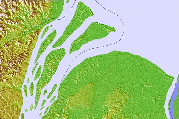
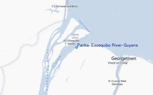
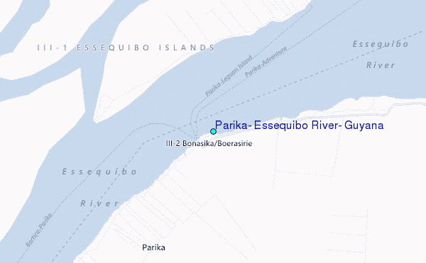
Use this relief map to navigate to tide stations, surf breaks and cities that are in the area of Parika, Essequibo River, Guyana.
Other Nearby Locations' tide tables and tide charts to Parika, Essequibo River, Guyana:
click location name for more details
 Surf breaks close to Parika, Essequibo River, Guyana:
|
||
|---|---|---|
| Closest surf break | The Delta | 259 mi |
| Second closest surf break | Saline Bay | 319 mi |
| Third closest surf break | Salibea Bay | 324 mi |
| Fourth closest surf break | Sans Sousi | 327 mi |
| Fifth closest surf break | Beach Break | 328 mi |


 Nearest
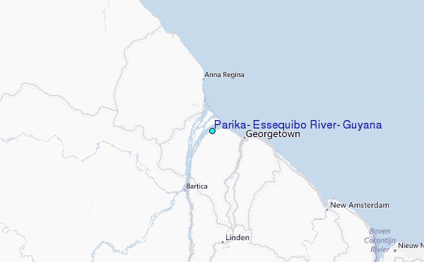