
| Distance / Altitude | Location | Report Date / Time | Live Weather | Wind | Gusts | Temp. | Visibility | Cloud |
|---|---|---|---|---|---|---|---|---|
| 44 km ENE / 50 m | Bella Vista wx (Dominican Republic) | 2025-12-26 05:24 local (2025/12/26 09:24 GMT) | dry | light winds from the N (6 km/h at 353) | 22°C | - | - - 0 | |
| 56 km ENE / 41 m | Ensanche Savica de Mendoza wx (Dominican Republic) | 2025-12-26 05:19 local (2025/12/26 09:19 GMT) | dry | - (- km/h at ) | — | - | - - 0 | |
| 69 km ENE / 212 m | Punta Caucedo/Las Americas Airport (Dominican Republic) | 2025-12-26 04:00 local (2025/12/26 08:00 GMT) | Dry and partly cloudy | light winds from the NE (17 km/h at 50) | 18°C | 10.0 | scattered | |
| 80 km NW / 1420 m | El Gajo de la Paila wx (Dominican Republic) | 2025-12-26 05:01 local (2025/12/26 09:01 GMT) | dry | wind obs. (8 kph from 127 degs) was rejected (- km/h at -) | 7°C | - | - - 0 | |
| 142 km NW / 209 m | Santiago International Airport (Dominican Republic) | 2025-12-26 04:00 local (2025/12/26 08:00 GMT) | - | light winds from the N (6 km/h at 1) | 15°C | 10.0 | few | |
| 158 km NE / 15 m | SHIP2940 (Marine) | 2025-12-26 04:00 local (2025/12/26 08:00 GMT) | - (- km/h at -) | — | - km | |||
| 158 km NE / 3 m | SHIP2812 (Marine) | 2025-12-26 04:00 local (2025/12/26 08:00 GMT) | - (- km/h at -) | 25°C | - | |||
| 158 km NE / 15 m | SHIP7800 (Marine) | 2025-12-26 04:00 local (2025/12/26 08:00 GMT) | - (- km/h at -) | — | - km | |||
| 158 km NE / 15 m | SHIP4059 (Marine) | 2025-12-26 04:00 local (2025/12/26 08:00 GMT) | - (- km/h at -) | — | - km | |||
| 158 km NE / 3 m | SHIP5990 (Marine) | 2025-12-26 04:00 local (2025/12/26 08:00 GMT) | - (- km/h at -) | 25°C | - |
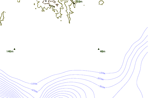
| Contours: | Roads & Rivers: | Select a
tide station / surf break / city |
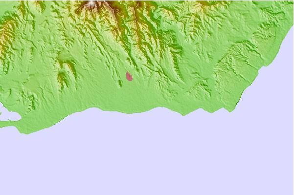
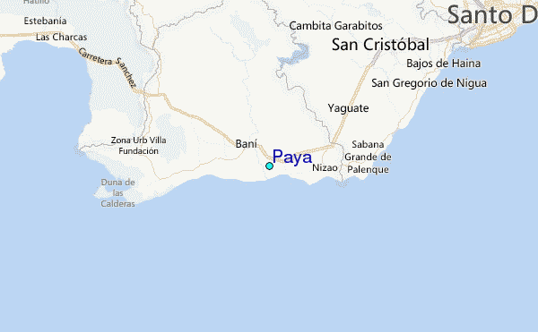
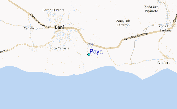
Use this relief map to navigate to tide stations, surf breaks and cities that are in the area of Paya.
Other Nearby Locations' tide tables and tide charts to Paya:
click location name for more details
 Surf breaks close to Paya:
|
||
|---|---|---|
| Closest surf break | Los Patos | 4 mi |
| Second closest surf break | Najayo | 11 mi |
| Third closest surf break | Red Beach | 19 mi |
| Fourth closest surf break | El Chinchorro (Red Beach) | 22 mi |
| Fifth closest surf break | Guibia | 27 mi |


 Nearest
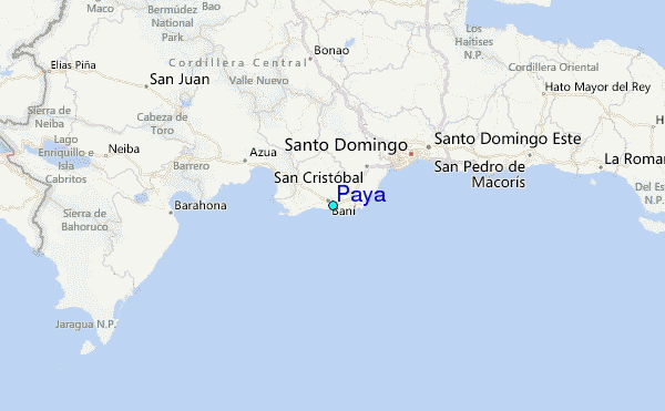