
| Distance / Altitude | Location | Report Date / Time | Live Weather | Wind | Gusts | Temp. | Visibility | Cloud |
|---|---|---|---|---|---|---|---|---|
| 31 km ESE / 1501 m | Baguio (Philippines) | 2024-04-26 05:00 local (2024/04/25 21:00 GMT) | Haze | calm (4 km/h at 90) | 18°C | 28 km | few | |
| 49 km S / 219 m | Dagupan (Luzon Island) (Philippines) | 2024-04-26 05:00 local (2024/04/25 21:00 GMT) | no report | calm (4 km/h at 140) | 27°C | 8 | - scattered - | |
| 49 km S / 219 m | Dagupan (Philippines) | 2024-04-26 06:00 local (2024/04/25 22:00 GMT) | no report | calm (4 km/h at 140) | 27°C | 8 | - scattered - | |
| 119 km N / 5 m | Rugsuanan wx (Philippines) | 2024-04-26 07:35 local (2024/04/25 23:35 GMT) | - | - (- km/h at ) | 32°C | - | - - 0 | |
| 121 km SSE / 19 m | Santa Lucia wx (Philippines) | 2024-04-26 07:34 local (2024/04/25 23:34 GMT) | dry | calm (0 km/h at 19) | 28°C | - | - - 0 |
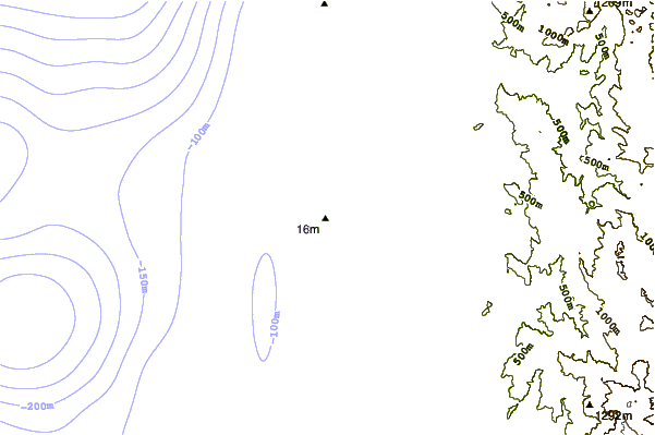
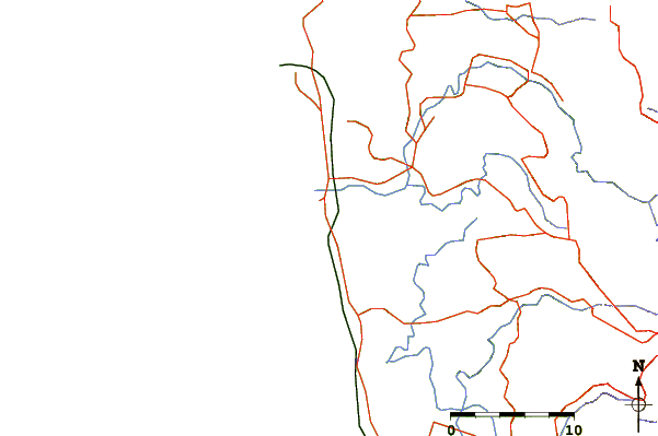
| Contours: | Roads & Rivers: | Select a
tide station / surf break / city |
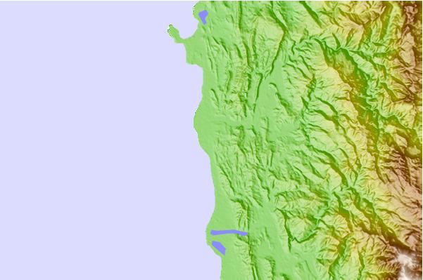
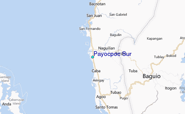
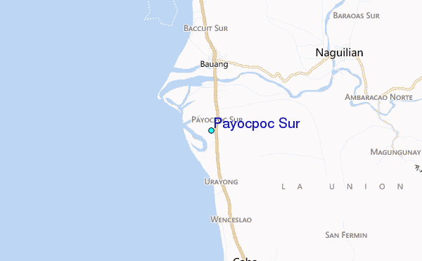
Use this relief map to navigate to tide stations, surf breaks and cities that are in the area of Payocpoc Sur.
Other Nearby Locations' tide tables and tide charts to Payocpoc Sur:
click location name for more details
 Surf breaks close to Payocpoc Sur:
|
||
|---|---|---|
| Closest surf break | Bauang | 4 mi |
| Second closest surf break | Poro Point | 9 mi |
| Third closest surf break | Car-rille | 10 mi |
| Fourth closest surf break | Mona Liza Point | 11 mi |
| Fifth closest surf break | San Juan | 11 mi |

 Nearest
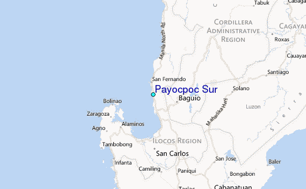