
| Distance / Altitude | Location | Report Date / Time | Live Weather | Wind | Gusts | Temp. | Visibility | Cloud |
|---|---|---|---|---|---|---|---|---|
| 126 km N / 14 m | Streaky Bay (Australia) | 2024-04-26 08:30 local (2024/04/25 23:00 GMT) | patches of shallow fog | calm (4 km/h at 140) | 11°C | 35 | - clear - | |
| 138 km ESE / 61 m | Cummins Aerodrome (Australia) | 2024-04-26 09:30 local (2024/04/26 00:00 GMT) | no report | light winds from the S (9 km/h at 170) | 15°C | - | - | |
| 138 km ESE / 61 m | Cummins Aerodrome (Australia) | 2024-04-26 09:30 local (2024/04/26 00:00 GMT) | - | light winds from the S (9 km/h at 170) | 15°C | - | no observation | |
| 146 km NE / 240 m | Minnipa (Australia) | 2024-04-26 09:30 local (2024/04/26 00:00 GMT) | no report | light winds from the E (15 km/h at 100) | 14°C | - | - no observation - | |
| 147 km NE / 239 m | Wudinna Aerodrome (Australia) | 2024-04-26 09:30 local (2024/04/26 00:00 GMT) | no report | calm (0 km/h at 0) | 10°C | - | - no observation - |
| Contours: | Roads & Rivers: | Select a
tide station / surf break / city |
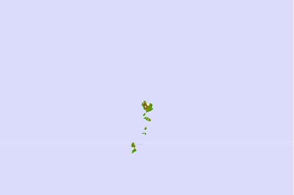
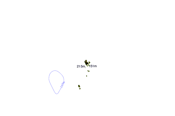
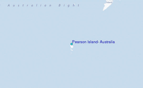
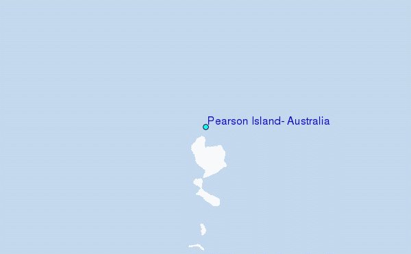
Use this relief map to navigate to tide stations, surf breaks and cities that are in the area of Pearson Island, Australia.
Other Nearby Locations' tide tables and tide charts to Pearson Island, Australia:
click location name for more details
 Surf breaks close to Pearson Island, Australia:
|
||
|---|---|---|
| Closest surf break | Blackfellows | 39 mi |
| Second closest surf break | Baird Bay Reef | 52 mi |
| Third closest surf break | Sheringa Beach | 53 mi |
| Fourth closest surf break | Venus Bay | 53 mi |
| Fifth closest surf break | Searcy Bay and Point Labatt | 55 mi |

 Nearest
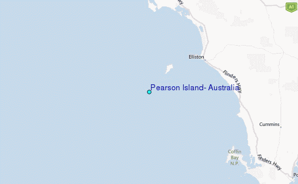