
| Distance / Altitude | Location | Report Date / Time | Live Weather | Wind | Gusts | Temp. | Visibility | Cloud |
|---|---|---|---|---|---|---|---|---|
| 7 km W / 44 m | MilfordHavenConservancy Board (United Kingdom) | 2025-12-19 05:00 local (2025/12/19 05:00 GMT) | Snow | fresh winds from the WSW (37 km/h at 250) | 10°C | 43 km | - overcast - | |
| 15 km N / 46 m | Crundale wx (United Kingdom) | 2025-12-19 05:35 local (2025/12/19 05:35 GMT) | dry | moderate winds from the WSW (23 km/h at 242) | 9°C | - | - - 0 | |
| 33 km SSW / 3 m | South Pembrokeshire WaveNet Site (Marine) | 2025-12-19 05:00 local (2025/12/19 05:00 GMT) | - (- km/h at -) | — | - | |||
| 34 km N / 61 m | Fishguard wx (United Kingdom) | 2025-12-19 05:03 local (2025/12/19 05:03 GMT) | dry | wind obs. (8 kph from 294 degs) was rejected (- km/h at -) | 9°C | - | - - 0 | |
| 37 km NNE / 5 m | Andrew Kenyon (United Kingdom) | 2025-12-19 05:00 local (2025/12/19 05:00 GMT) | - | fresh winds from the WNW (31 km/h at 284) | 9°C | - | - - 0 | |
| 40 km E / 216 m | Pembrey Sands (United Kingdom) | 2025-12-19 05:00 local (2025/12/19 05:00 GMT) | Mist | strong winds from the WSW (48 km/h at 250) | 11°C | 29 km | broken overcast - | |
| 40 km E / 216 m | Pembrey Sands Airport (United Kingdom) | 2025-12-19 05:00 local (2025/12/19 05:00 GMT) | Mist | strong winds from the WSW (48 km/h at 250) | 11°C | 29 km | broken overcast - | |
| 49 km ESE / 72 m | Rhossili wx (United Kingdom) | 2025-12-19 05:00 local (2025/12/19 05:00 GMT) | dry | - (- km/h at ) | — | - | - - 0 | |
| 55 km WNW / 3 m | SHIP4339 (Marine) | 2025-12-19 03:00 local (2025/12/19 03:00 GMT) | - (- km/h at -) | 11°C | - | |||
| 55 km WNW / 15 m | SHIP2802 (Marine) | 2025-12-19 03:00 local (2025/12/19 03:00 GMT) | - (- km/h at -) | — | - km |
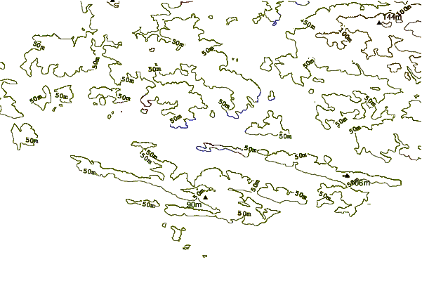
| Contours: | Roads & Rivers: | Select a
tide station / surf break / city |
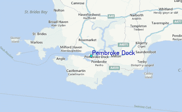
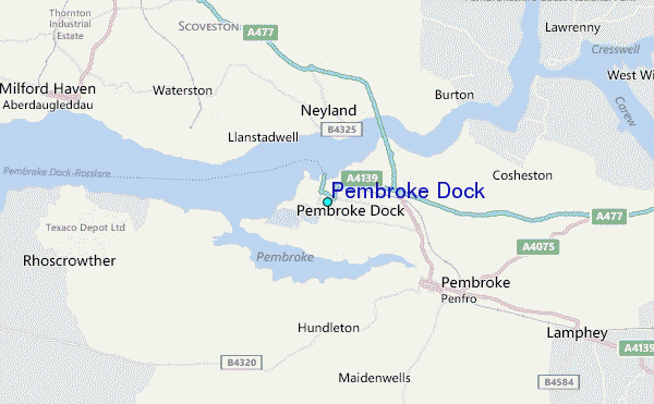
Use this relief map to navigate to tide stations, surf breaks and cities that are in the area of Pembroke Dock.
Other Nearby Locations' tide tables and tide charts to Pembroke Dock:
click location name for more details
 Surf breaks close to Pembroke Dock:
|
||
|---|---|---|
| Closest surf break | Freshwater east | 5 mi |
| Second closest surf break | Frainslake Sands | 6 mi |
| Third closest surf break | Freshwater West | 6 mi |
| Fourth closest surf break | Broadhaven South | 6 mi |
| Fifth closest surf break | Manorbier | 7 mi |


 Nearest
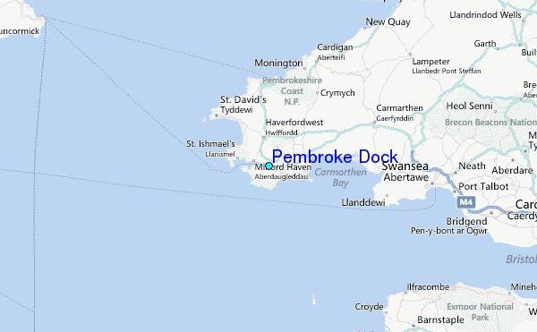