
| Distance / Altitude | Location | Report Date / Time | Live Weather | Wind | Gusts | Temp. | Visibility | Cloud |
|---|---|---|---|---|---|---|---|---|
| 36 km S / 20 m | Nappan (Nova scotia) | 2026-06-09 18:00 local (2026/06/09 21:00 GMT) | - | calm (0 km/h at 0) | 22°C | 0.0 | - no observation - | |
| 36 km S / 20 m | Nappan Automatic Weather Station Airport (Nova scotia) | 2026-06-09 16:00 local (2026/06/09 19:00 GMT) | no report | light winds from the WSW (7 km/h at 250) | 22°C | 0.0 | - - - | |
| 44 km NNE / 183 m | Summerside Airport (Prince Edward Islan) | 2026-06-09 17:00 local (2026/06/09 20:00 GMT) | - | light winds from the ENE (11 km/h at 60) | 25°C | 0.0 | ||
| 47 km WSW / 217 m | Moncton Airport (New Brunswick) | 2026-06-09 17:00 local (2026/06/09 20:00 GMT) | Dry and partly cloudy | light winds from the SW (9 km/h at 220) | 27°C | 24 | few scattered broken | |
| 47 km NNE / 12 m | Summerside-Pei (Canada) | 2026-06-09 18:00 local (2026/06/09 21:00 GMT) | - | wind obs. (24 kph from 40 degs) was rejected (- km/h at -) | 20°C | - | no observation | |
| 48 km WSW / 71 m | MonctonA-NB (Canada) | 2026-06-09 18:00 local (2026/06/09 21:00 GMT) | - | light winds from the WSW (15 km/h at 240) | — | 44 km | - scattered - | |
| 51 km WSW / 58 m | Riverview (Canada) | 2026-06-09 17:33 local (2026/06/09 20:33 GMT) | dry | calm (2 km/h at 174) | 22°C | - | - - 0 | |
| 52 km WNW / 9 m | Cocagne Cape Marina (Canada) | 2026-06-09 18:00 local (2026/06/09 21:00 GMT) | - | moderate winds from the SSE (26 km/h at 161) | 30°C | - | - - 0 | |
| 59 km ENE / 97 m | Glen Valley wx (Canada) | 2026-06-09 18:13 local (2026/06/09 21:13 GMT) | - | calm (0 km/h at 270) | 27°C | - | - - 0 | |
| 67 km ENE / 33 m | Meadow Bank wx (Canada) | 2026-06-09 17:19 local (2026/06/09 20:19 GMT) | dry | light winds from the NE (6 km/h at 51) | 26°C | - | - - 0 |
| Contours: | Roads & Rivers: | Select a
tide station / surf break / city |
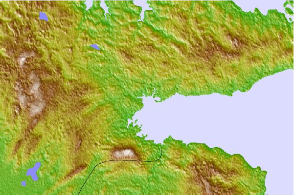
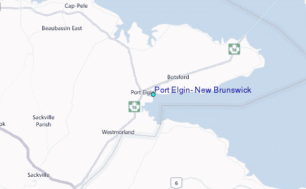
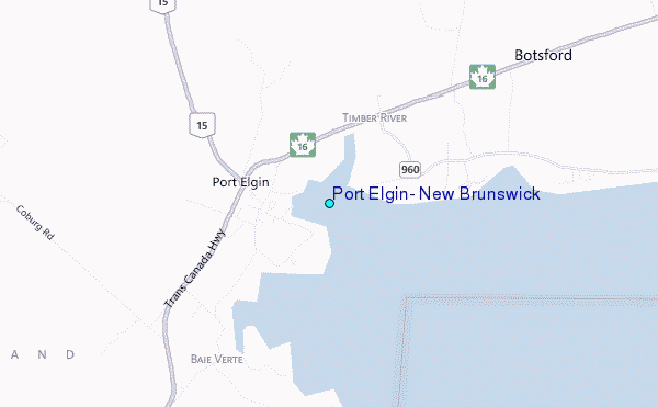
Use this relief map to navigate to tide stations, surf breaks and cities that are in the area of Port Elgin, New Brunswick.
Other Nearby Locations' tide tables and tide charts to Port Elgin, New Brunswick:
click location name for more details
 Surf breaks close to Port Elgin, New Brunswick:
|
||
|---|---|---|
| Closest surf break | Backyards | 103 mi |
| Second closest surf break | Lawrencetown Right Point | 103 mi |
| Third closest surf break | Minutes | 103 mi |
| Fourth closest surf break | Lawrencetown Left Point | 104 mi |
| Fifth closest surf break | Lawrencetown Reef | 104 mi |


 Nearest
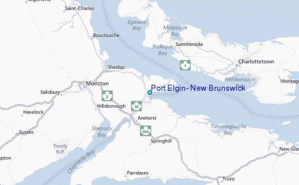