
| Distance / Altitude | Location | Report Date / Time | Live Weather | Wind | Gusts | Temp. | Visibility | Cloud |
|---|---|---|---|---|---|---|---|---|
| 176 km WNW / 139 m | Resolute (Canada) | 2024-04-26 05:00 local (2024/04/26 09:00 GMT) | - | light winds from the ESE (15 km/h at 120) | -23°C | - | no observation | |
| 176 km WNW / 216 m | Resolute Airport (N.w. Territories) | 2024-04-26 05:16 local (2024/04/26 09:16 GMT) | Dry and cloudy | light winds from the ESE (19 km/h at 110) | -22°C | 32 | overcast | |
| 176 km WNW / 30 m | Resolute CS Airport (Nunavut) | 2024-04-26 05:00 local (2024/04/26 09:00 GMT) | - | light winds from the ESE (15 km/h at 120) | -22°C | 0.0 | ||
| 189 km ESE / 2 m | Arctic Bay Airport (N.w. Territories) | 2024-04-26 05:00 local (2024/04/26 09:00 GMT) | - | light winds from the S (7 km/h at 180) | -20°C | 0.0 | ||
| 190 km ESE / 10 m | Arctic Bay Cs- NU (Canada) | 2024-04-26 05:00 local (2024/04/26 09:00 GMT) | no report | light winds from the N (7 km/h at 350) | -22°C | - | - no observation - |
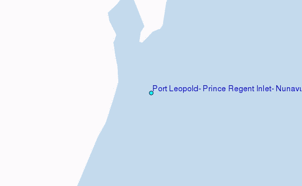
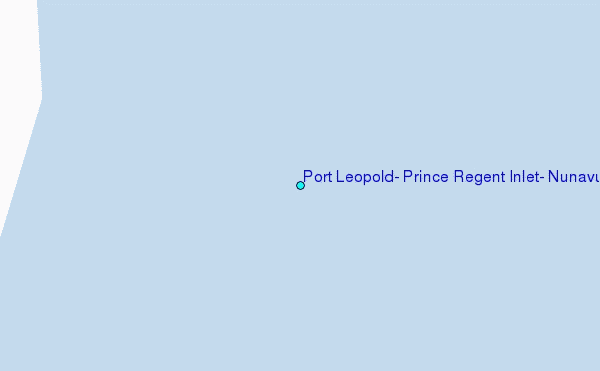
Choose Port Leopold, Prince Regent Inlet, Nunavut Location Map Zoom:
| Contours: | Roads & Rivers: | Select a
tide station / surf break / city |
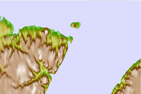
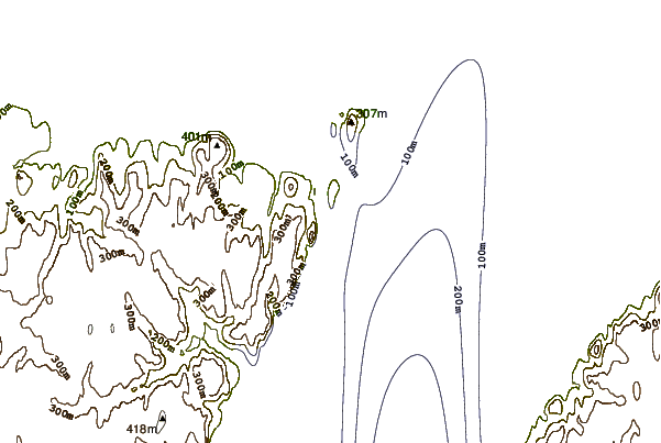
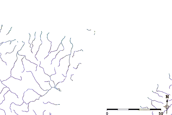
Use this relief map to navigate to tide stations, surf breaks and cities that are in the area of Port Leopold, Prince Regent Inlet, Nunavut.
Other Nearby Locations' tide tables and tide charts to Port Leopold, Prince Regent Inlet, Nunavut:
click location name for more details
 Surf breaks close to Port Leopold, Prince Regent Inlet, Nunavut:
|
||
|---|---|---|
| Closest surf break | Graveyards | 1605 mi |
| Second closest surf break | Ocean Cape | 1606 mi |
| Third closest surf break | Cannon Beach | 1607 mi |
| Fourth closest surf break | Eyvik | 1692 mi |
| Fifth closest surf break | Garur | 1700 mi |

 Nearest
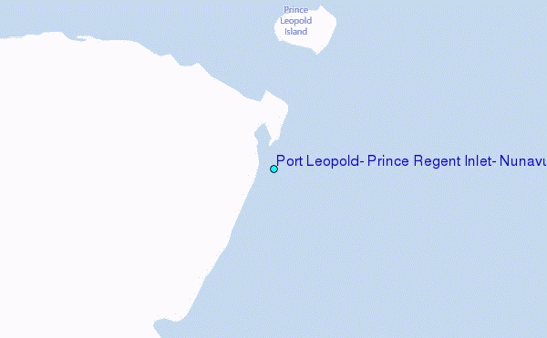