
| Distance / Altitude | Location | Report Date / Time | Live Weather | Wind | Gusts | Temp. | Visibility | Cloud |
|---|---|---|---|---|---|---|---|---|
| 53 km NE / 229 m | Savoonga Airport (Alaska) | 2024-04-26 08:41 local (2024/04/26 16:41 GMT) | Light snow | calm (0 km/h at 0) | -1°C | 3 | overcast | |
| 53 km NW / 3 m | BUOY-GBXA2 (Marine) | 2024-04-26 09:33 local (2024/04/26 17:33 GMT) | light winds from the NNE (17 km/h at 20) | -1°C | - | |||
| 54 km NE / 3 m | BUOY-SVXA2 (Marine) | 2024-04-26 09:34 local (2024/04/26 17:34 GMT) | calm (4 km/h at 60) | -9°C | - | |||
| 295 km NNE / 7 m | Wales Airport (Alaska) | 2024-04-26 08:11 local (2024/04/26 16:11 GMT) | Moderate rain | light winds from the NNE (13 km/h at 30) | — | 1 | overcast | |
| 295 km NNE / 164 m | Tin City Airport (Alaska) | 2024-04-26 07:55 local (2024/04/26 15:55 GMT) | Shower light rain shower | moderate winds from the NE (28 km/h at 40) | 0°C | 0 | scattered broken |
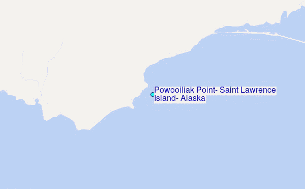
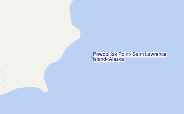
Choose Powooiliak Point, Saint Lawrence Island, Alaska Location Map Zoom:
| Contours: | Roads & Rivers: | Select a
tide station / surf break / city |
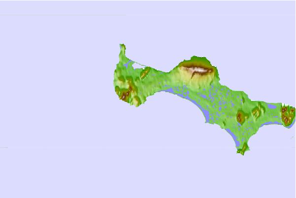
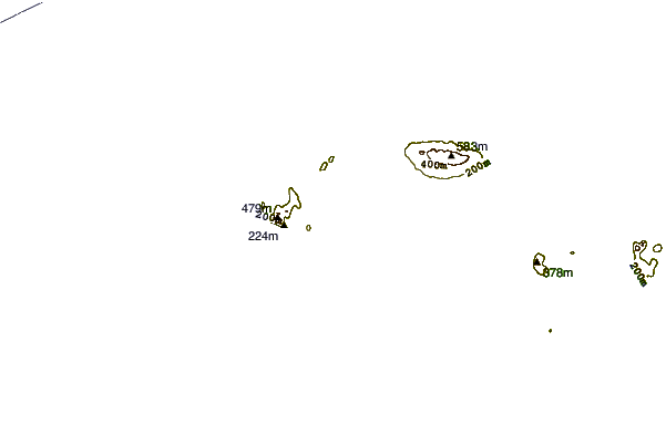

Use this relief map to navigate to tide stations, surf breaks and cities that are in the area of Powooiliak Point, Saint Lawrence Island, Alaska.
Other Nearby Locations' tide tables and tide charts to Powooiliak Point, Saint Lawrence Island, Alaska:
click location name for more details
 Surf breaks close to Powooiliak Point, Saint Lawrence Island, Alaska:
|
||
|---|---|---|
| Closest surf break | Bird Point (Tidal Bore) | 667 mi |
| Second closest surf break | Termination Point | 740 mi |
| Third closest surf break | Monashka Bay | 741 mi |
| Fourth closest surf break | Mill Bay | 743 mi |
| Fifth closest surf break | Fossil Beach Kodiak | 761 mi |

 Nearest
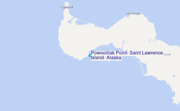