
| Distance / Altitude | Location | Report Date / Time | Live Weather | Wind | Gusts | Temp. | Visibility | Cloud |
|---|---|---|---|---|---|---|---|---|
| 44 km S / 208 m | Holguin Airport (Cuba) | 2026-06-08 19:50 local (2026/06/08 23:50 GMT) | Dry and partly cloudy | wind obs. (7 kph from 70 degs) was rejected (- km/h at -) | 24°C | 8.0 | few broken | |
| 131 km SSE / 209 m | Santiago De Cuba Airport (Cuba) | 2026-06-08 19:50 local (2026/06/08 23:50 GMT) | - | light winds from the WSW (13 km/h at 240) | — | 0.0 | ||
| 166 km SE / 203 m | Guantanamo Bay Airport (Cuba) | 2026-06-08 20:27 local (2026/06/09 00:27 GMT) | Light rain | calm (0 km/h at 0) | 26°C | 14 | scattered scattered overcast | |
| 183 km WSW / 212 m | Camaguey/Ignacio Agramonte Internationa Airport (Cuba) | 2026-06-08 19:50 local (2026/06/08 23:50 GMT) | Dry and partly cloudy | light winds from the ESE (6 km/h at 120) | 24°C | 9.0 | scattered broken | |
| 251 km SSE / 0 m | lightning 95km WNW of Dame-Marie (Haiti) | 2026-06-08 19:00 local (2026/06/08 23:00 GMT) | Thunderstorm | (- km/h at -) | — | |||
| 283 km W / 37 m | thunderstorm affecting Ciego de Avila (Cuba) | 2026-06-08 19:05 local (2026/06/08 23:05 GMT) | Thunderstorm | (- km/h at -) | — | |||
| 306 km W / 40 m | lightning 20km W of Venezuela (Cuba) | 2026-06-08 19:34 local (2026/06/08 23:34 GMT) | Thunderstorm | (- km/h at -) | — | |||
| 319 km W / 200 m | lightning 16km NNE of Jatibonico (Cuba) | 2026-06-08 19:34 local (2026/06/08 23:34 GMT) | Thunderstorm | (- km/h at -) | — | |||
| 346 km N / 12 m | Over Yonder Cay (Bahamas) | 2026-06-08 21:13 local (2026/06/09 01:13 GMT) | dry | calm (0 km/h at 139) | 27°C | - | - - 0 | |
| 346 km S / 193 m | Sangster/Montego Bay Airport (Jamaica) | 2026-06-08 20:00 local (2026/06/09 00:00 GMT) | Light rain | light winds from the SSE (11 km/h at 150) | 26°C | 10.0 | few few |
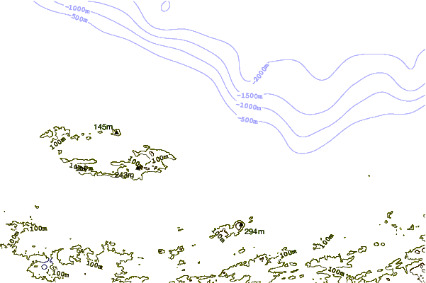
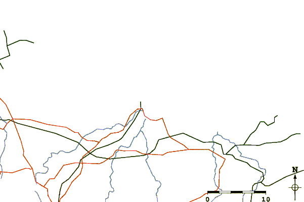
| Contours: | Roads & Rivers: | Select a
tide station / surf break / city |
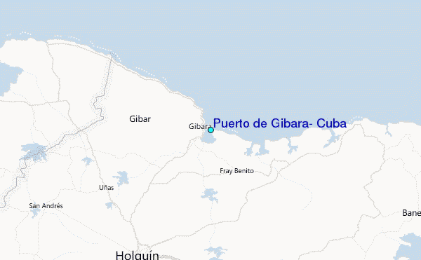
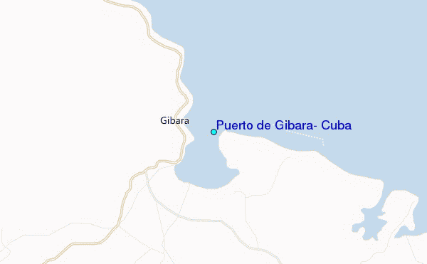
Use this relief map to navigate to tide stations, surf breaks and cities that are in the area of Puerto de Gibara, Cuba.
Other Nearby Locations' tide tables and tide charts to Puerto de Gibara, Cuba:
click location name for more details
 Surf breaks close to Puerto de Gibara, Cuba:
|
||
|---|---|---|
| Closest surf break | Runaway Bay | 200 mi |
| Second closest surf break | Discovery Bay | 201 mi |
| Third closest surf break | Peenie Wally | 203 mi |
| Fourth closest surf break | Navy Island | 204 mi |
| Fifth closest surf break | Winnifred Beach | 204 mi |


 Nearest
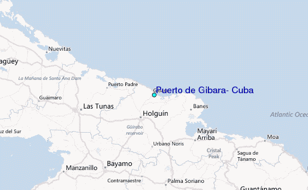