
| Distance / Altitude | Location | Report Date / Time | Live Weather | Wind | Gusts | Temp. | Visibility | Cloud |
|---|---|---|---|---|---|---|---|---|
| 11 km E / 47 m | Kawthaung (Myanmar) | 2026-06-10 02:30 local (2026/06/09 20:00 GMT) | clouds dissolving | wind obs. (4 kph from 180 degs) was rejected (- km/h at -) | 29°C | 10 | - | |
| 14 km E / 1 m | Ranong (Thailand) | 2026-06-10 03:30 local (2026/06/09 21:00 GMT) | no report | light winds from the S (6 km/h at 170) | 27°C | - | - | |
| 77 km ENE / 13 m | Sawi Agromet (Thailand) | 2026-06-10 03:30 local (2026/06/09 21:00 GMT) | - | light winds from the SW (7 km/h at 230) | — | - | - | |
| 94 km NE / 5 m | Chumphon (Thailand) | 2026-06-10 03:30 local (2026/06/09 21:00 GMT) | no report | light winds from the WSW (11 km/h at 250) | 32°C | - | - | |
| 136 km SE / 120 m | Surat Thani (Thailand) | 2026-06-10 03:30 local (2026/06/09 21:00 GMT) | no report | light winds from the WSW (13 km/h at 240) | 31°C | 30 km | - overcast - | |
| 146 km S / 8 m | Takya Pa (Thailand) | 2026-06-10 03:30 local (2026/06/09 21:00 GMT) | no report | wind obs. (6 kph from 310 degs) was rejected (- km/h at -) | 28°C | - | - | |
| 157 km SE / 37 m | Surat Thani Agromet (Thailand) | 2026-06-10 03:30 local (2026/06/09 21:00 GMT) | no report | light winds from the WSW (7 km/h at 240) | 31°C | - | - | |
| 169 km E / 4 m | Accrokite KohPhangan (Thailand) | 2026-06-10 03:30 local (2026/06/09 21:00 GMT) | - | moderate winds from the W (28 km/h at 264) | 29°C | - | - - 0 | |
| 170 km E / 1 m | Siam Pro Kite (SPK) (Thailand) | 2026-06-10 03:30 local (2026/06/09 21:00 GMT) | - | fresh winds from the SW (30 km/h at 236) | 29°C | - | - - 0 | |
| 178 km SSE / 14 m | Phrasang (Thailand) | 2026-06-10 03:30 local (2026/06/09 21:00 GMT) | no report | calm (4 km/h at 170) | 29°C | - | - |
| Contours: | Roads & Rivers: | Select a
tide station / surf break / city |
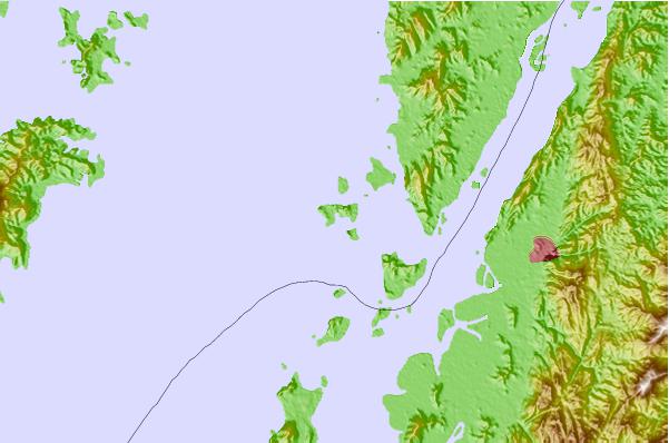
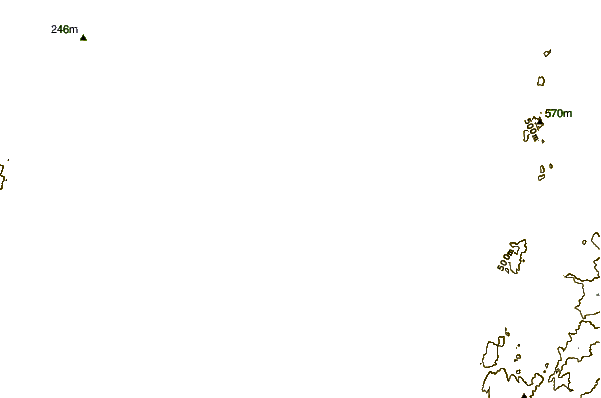
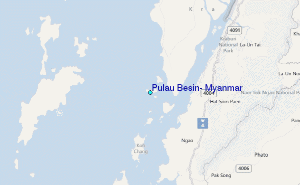
Use this relief map to navigate to tide stations, surf breaks and cities that are in the area of Pulau Besin, Myanmar.
Other Nearby Locations' tide tables and tide charts to Pulau Besin, Myanmar:
click location name for more details
 Surf breaks close to Pulau Besin, Myanmar:
|
||
|---|---|---|
| Closest surf break | Koh Phayam | 19 mi |
| Second closest surf break | Cape Pakarang Left | 88 mi |
| Third closest surf break | Cape Pakarang Reefs | 88 mi |
| Fourth closest surf break | Cape Pakarang Right | 89 mi |
| Fifth closest surf break | Bang Niang Rivermouth | 91 mi |


 Nearest
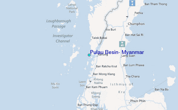