
| Distance / Altitude | Location | Report Date / Time | Live Weather | Wind | Gusts | Temp. | Visibility | Cloud |
|---|---|---|---|---|---|---|---|---|
| 127 km E / 21 m | Penal (Trinidad and Tobago) | 2024-04-26 06:46 local (2024/04/26 10:46 GMT) | dry | - (- km/h at ) | — | - | - - 0 | |
| 133 km ENE / 39 m | Woodbrook wx (Trinidad and Tobago) | 2024-04-26 06:46 local (2024/04/26 10:46 GMT) | - | calm (0 km/h at 0) | — | - | - - 0 | |
| 138 km ENE / 130 m | San Francisco Settlement wx (Trinidad and Tobago) | 2024-04-26 06:10 local (2024/04/26 10:10 GMT) | dry | calm (2 km/h at 110) | 25°C | - | - - 0 | |
| 148 km ENE / 216 m | Piarco International Airport (Trinidad Tobago) | 2024-04-26 06:00 local (2024/04/26 10:00 GMT) | Dry and partly cloudy | light winds from the E (6 km/h at 100) | 25°C | 10.0 | few scattered | |
| 149 km ENE / 15 m | PiarcoInt.Airport- Trinidad (Trinidad and Tobago) | 2024-04-26 07:00 local (2024/04/26 11:00 GMT) | Mist | light winds from the E (6 km/h at 100) | 26°C | 40 km | mostly cloudy |
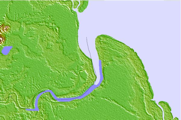
| Contours: | Roads & Rivers: | Select a
tide station / surf break / city |
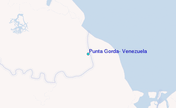
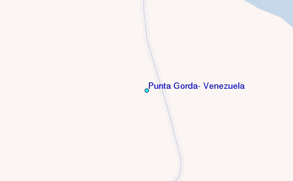
Use this relief map to navigate to tide stations, surf breaks and cities that are in the area of Punta Gorda, Venezuela.
Other Nearby Locations' tide tables and tide charts to Punta Gorda, Venezuela:
click location name for more details
 Surf breaks close to Punta Gorda, Venezuela:
|
||
|---|---|---|
| Closest surf break | Guiria | 42 mi |
| Second closest surf break | Unare | 44 mi |
| Third closest surf break | Pui Puy | 47 mi |
| Fourth closest surf break | Chaguarama | 48 mi |
| Fifth closest surf break | Playa Tío Pedro | 54 mi |

 Nearest