
| Distance / Altitude | Location | Report Date / Time | Live Weather | Wind | Gusts | Temp. | Visibility | Cloud |
|---|---|---|---|---|---|---|---|---|
| 35 km NE / 1 m | Saint Albans (Canada) | 2026-06-09 05:30 local (2026/06/09 08:00 GMT) | no report | wind obs. (7 kph from 290 degs) was rejected (- km/h at -) | 11°C | - | - no observation - | |
| 41 km SE / 60 m | Sagona Island- Nfld (Canada) | 2026-06-09 05:30 local (2026/06/09 08:00 GMT) | no report | moderate winds from the SSW (22 km/h at 200) | 11°C | - | - | |
| 41 km SE / 13 m | Sagona Island Airport (Newfoundland) | 2026-06-09 04:30 local (2026/06/09 07:00 GMT) | - | strong winds from the W (44 km/h at 270) | — | 0.0 | ||
| 99 km SE / 48 m | ST Lawrence- Nfld (Canada) | 2026-06-09 05:30 local (2026/06/09 08:00 GMT) | no report | light winds from the SW (14 km/h at 220) | 12°C | - | - | |
| 109 km WSW / 11 m | Burgeo (Canada) | 2026-06-09 05:30 local (2026/06/09 08:00 GMT) | no report | wind obs. (14 kph from 80 degs) was rejected (- km/h at -) | 13°C | - | - no observation - | |
| 124 km ESE / 27 m | MarticotIsland-Nfld (Canada) | 2026-06-09 05:30 local (2026/06/09 08:00 GMT) | no report | light winds from the SW (11 km/h at 220) | 9°C | - | - no observation - | |
| 148 km N / 103 m | Badger(Aut)-Nfld (Canada) | 2026-06-09 05:30 local (2026/06/09 08:00 GMT) | - | light winds from the SW (11 km/h at 220) | — | - | - no observation - | |
| 168 km ESE / 19 m | Argentia(Aut)-Nfld (Canada) | 2026-06-09 03:30 local (2026/06/09 06:00 GMT) | - | light winds from the SW (19 km/h at 220) | 5°C | - | - no observation - | |
| 168 km ESE / 216 m | Argentia Airport (Newfoundland) | 2026-06-09 04:30 local (2026/06/09 07:00 GMT) | - | moderate winds from the WSW (28 km/h at 240) | 5°C | 0.0 | ||
| 188 km NE / 151 m | Gander Int l A- Nfld (Canada) | 2026-06-09 05:30 local (2026/06/09 08:00 GMT) | - | - (- km/h at -) | — | - | - |
| Contours: | Roads & Rivers: | Select a
tide station / surf break / city |
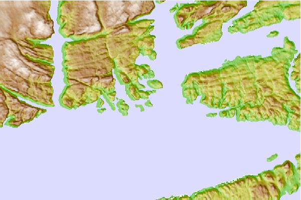
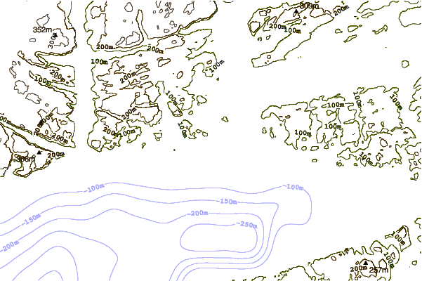
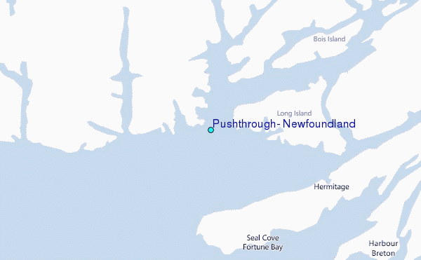
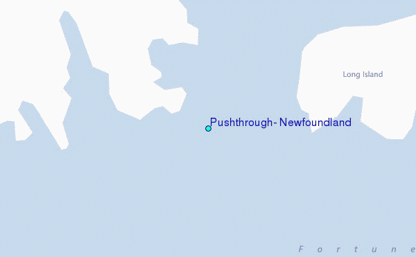
Use this relief map to navigate to tide stations, surf breaks and cities that are in the area of Pushthrough, Newfoundland.
Other Nearby Locations' tide tables and tide charts to Pushthrough, Newfoundland:
click location name for more details
 Surf breaks close to Pushthrough, Newfoundland:
|
||
|---|---|---|
| Closest surf break | Ingonish Beach | 210 mi |
| Second closest surf break | Kennington Cove | 221 mi |
| Third closest surf break | Michaud Point | 257 mi |
| Fourth closest surf break | Martinique | 392 mi |
| Fifth closest surf break | Lawrencetown Left Point | 400 mi |


 Nearest
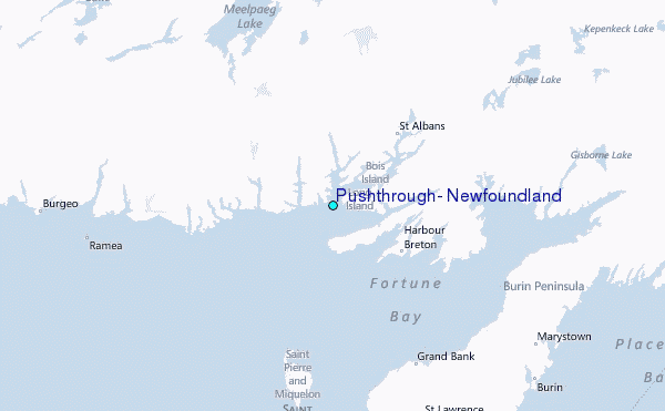